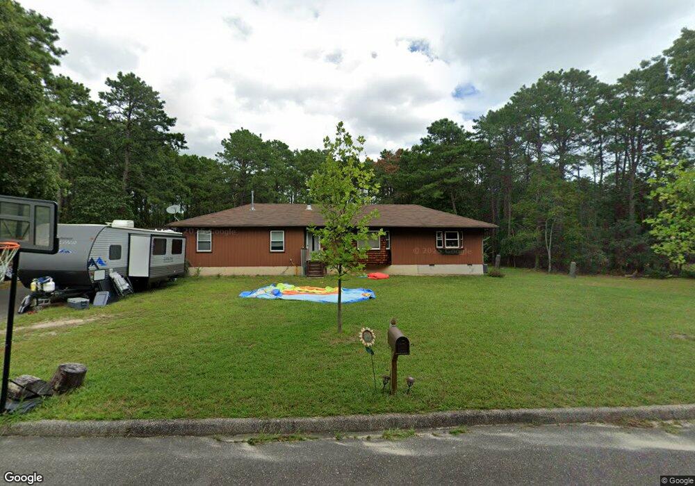
1521 Cabot Ave Whiting, NJ 08759
Manchester Township NeighborhoodEstimated Value: $501,022 - $598,000
4
Beds
2
Baths
1,878
Sq Ft
$295/Sq Ft
Est. Value
About This Home
This home is located at 1521 Cabot Ave, Whiting, NJ 08759 and is currently estimated at $553,756, approximately $294 per square foot. 1521 Cabot Ave is a home located in Ocean County with nearby schools including Manchester Township High School.
Ownership History
Date
Name
Owned For
Owner Type
Purchase Details
Closed on
Oct 23, 2015
Sold by
Lisanti Valerie M
Bought by
Lisanti Fred P
Current Estimated Value
Home Financials for this Owner
Home Financials are based on the most recent Mortgage that was taken out on this home.
Original Mortgage
$265,821
Outstanding Balance
$207,281
Interest Rate
3.62%
Mortgage Type
FHA
Estimated Equity
$346,475
Purchase Details
Closed on
Oct 9, 1998
Sold by
Lisanti Fred P
Bought by
Lisanti Fred P and Lisanti Valerie M
Create a Home Valuation Report for This Property
The Home Valuation Report is an in-depth analysis detailing your home's value as well as a comparison with similar homes in the area
Home Values in the Area
Average Home Value in this Area
Purchase History
| Date | Buyer | Sale Price | Title Company |
|---|---|---|---|
| Lisanti Fred P | $275,000 | Old Republic National Title | |
| Lisanti Fred P | -- | -- |
Source: Public Records
Mortgage History
| Date | Status | Borrower | Loan Amount |
|---|---|---|---|
| Open | Lisanti Fred P | $265,821 |
Source: Public Records
Tax History Compared to Growth
Tax History
| Year | Tax Paid | Tax Assessment Tax Assessment Total Assessment is a certain percentage of the fair market value that is determined by local assessors to be the total taxable value of land and additions on the property. | Land | Improvement |
|---|---|---|---|---|
| 2025 | $6,017 | $440,300 | $195,000 | $245,300 |
| 2024 | $5,711 | $245,100 | $85,000 | $160,100 |
| 2023 | $5,429 | $245,100 | $85,000 | $160,100 |
| 2022 | $5,429 | $245,100 | $85,000 | $160,100 |
| 2021 | $5,311 | $245,100 | $85,000 | $160,100 |
| 2020 | $5,172 | $245,100 | $85,000 | $160,100 |
| 2019 | $5,681 | $221,500 | $85,000 | $136,500 |
| 2018 | $5,659 | $221,500 | $85,000 | $136,500 |
| 2017 | $5,681 | $221,500 | $85,000 | $136,500 |
| 2016 | $5,613 | $221,500 | $85,000 | $136,500 |
| 2015 | $5,509 | $221,500 | $85,000 | $136,500 |
| 2014 | $5,396 | $221,500 | $85,000 | $136,500 |
Source: Public Records
Map
Nearby Homes
- 1561 Scranton Ave
- 1360 Zeppelin Ave
- 1901 Baltimore Ave
- 151 Adams St
- 1751 Chilvers Ave
- 1901 Chilvers Ave
- 1130 Monroe Ave
- 101 Buckingham Rd
- 70 Norwalk Ave Unit 73
- 22 Hummingbird Ln Unit 73
- 9 Apple Ln
- 85 Falmouth Ave Unit 72
- 11 Hartford Rd Unit 70
- 81 Falmouth Ave Unit 72
- 81 Falmouth Ave
- 23 Brentwood St Unit 73
- 1 Chelsea Dr
- 69 Chelsea Dr Unit 72
- 74 Chelsea Dr
- 519 Petunia La N
- 1541 Cabot Ave
- 1460 Zeppelin Ave
- 1520 Zeppelin Ave
- 1520 Cabot Ave
- 1540 Zeppelin Ave
- 1540 Cabot Ave
- 1681 Cabot Ave
- 1561 Cabot Ave
- 1560 Zeppelin Ave
- 1560 Cabot Ave
- 1581 Cabot Ave
- 1561 Zeppelin Ave
- 1580 Zeppelin Ave
- 1580 Cabot Ave
- 1520 Scranton Ave
- 1500 Scranton Ave
- 1581 Zeppelin Ave
- 1461 Zeppelin Ave
- 1480 Scranton Ave
- 1601 Cabot Ave