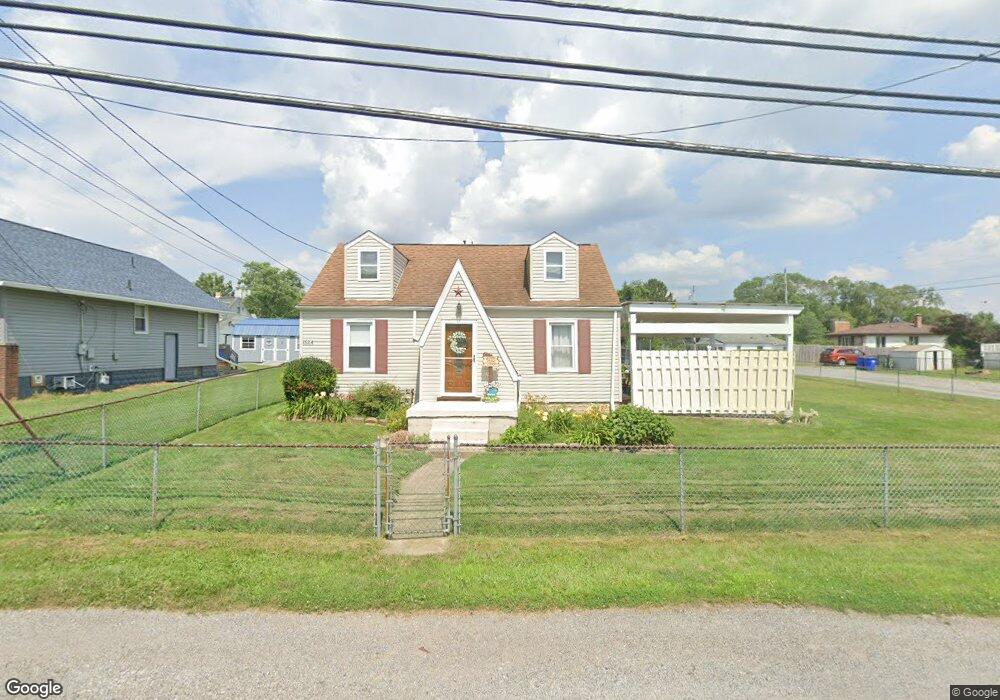
1524 Wyoming Ave East Liverpool, OH 43920
Estimated Value: $79,000 - $143,000
2
Beds
1
Bath
784
Sq Ft
$146/Sq Ft
Est. Value
About This Home
This home is located at 1524 Wyoming Ave, East Liverpool, OH 43920 and is currently estimated at $114,270, approximately $145 per square foot. 1524 Wyoming Ave is a home located in Columbiana County with nearby schools including Westgate Middle School, LaCroft Elementary School, and East Liverpool High School.
Ownership History
Date
Name
Owned For
Owner Type
Purchase Details
Closed on
Dec 5, 1995
Sold by
Jordan Rebecca A
Bought by
Lane John C and Lane Lori A
Current Estimated Value
Home Financials for this Owner
Home Financials are based on the most recent Mortgage that was taken out on this home.
Original Mortgage
$57,000
Interest Rate
7.44%
Mortgage Type
New Conventional
Purchase Details
Closed on
Jun 11, 1993
Sold by
Lane John C and Lane Lori A
Bought by
Arthur Rebecca A
Create a Home Valuation Report for This Property
The Home Valuation Report is an in-depth analysis detailing your home's value as well as a comparison with similar homes in the area
Home Values in the Area
Average Home Value in this Area
Purchase History
| Date | Buyer | Sale Price | Title Company |
|---|---|---|---|
| Lane John C | $60,000 | -- | |
| Arthur Rebecca A | $40,000 | -- |
Source: Public Records
Mortgage History
| Date | Status | Borrower | Loan Amount |
|---|---|---|---|
| Previous Owner | Lane John C | $57,000 |
Source: Public Records
Tax History Compared to Growth
Tax History
| Year | Tax Paid | Tax Assessment Tax Assessment Total Assessment is a certain percentage of the fair market value that is determined by local assessors to be the total taxable value of land and additions on the property. | Land | Improvement |
|---|---|---|---|---|
| 2024 | $1,535 | $37,110 | $3,330 | $33,780 |
| 2023 | $1,535 | $37,110 | $3,330 | $33,780 |
| 2022 | $1,536 | $37,110 | $3,330 | $33,780 |
| 2021 | $1,371 | $30,390 | $5,640 | $24,750 |
| 2020 | $1,373 | $30,390 | $5,640 | $24,750 |
| 2019 | $1,373 | $30,390 | $5,640 | $24,750 |
| 2018 | $1,330 | $27,620 | $5,110 | $22,510 |
| 2017 | $1,399 | $27,620 | $5,110 | $22,510 |
| 2016 | $1,396 | $27,940 | $5,080 | $22,860 |
| 2015 | $1,376 | $27,940 | $5,080 | $22,860 |
| 2014 | $1,360 | $27,940 | $5,080 | $22,860 |
Source: Public Records
Map
Nearby Homes
- 1874 Idaho Ave
- 1332 Sunnyside St
- 1183 Lisbon St
- 1250 Northside St
- 1209 Northside St
- 932 Logan St
- 874 Logan St
- 118 S Shadylane Dr
- 504 Williams Ave
- 0 Lisbon St
- 1234 Sunnyside St
- 106 N Surry Rd
- 564 Williams Ave
- 120 Woodbine
- 918 Florence St
- 49536 Sunset Dr
- 1178 Oliver St
- 2249 Lisbon St
- 468 6th Ave
- 0 Kingsridge Rd
- 1528 Wyoming Ave
- 1523 Wyoming Ave
- 1716 Wyoming Ave
- 1520 Wyoming Ave
- 1707 Idaho Ave
- 1519 Wyoming Ave
- 1713 Idaho Ave
- 1529 Wyoming Ave
- 1726 Wyoming Ave
- 1515 Wyoming Ave
- 704 Olnhausen St
- 1512 Wyoming Ave
- 1727 Idaho Ave
- 815 Ashbaugh Ln
- 1510 Wyoming Ave
- 702 Olnhausen St
- 1508 Wyoming Ave
- 1742 Wyoming Ave
- 1540 Lisbon St
- 1513 Wyoming Ave