1529 Lincoln Rd Shady Side, MD 20764
Estimated Value: $283,000 - $319,000
--
Bed
1
Bath
714
Sq Ft
$418/Sq Ft
Est. Value
About This Home
This home is located at 1529 Lincoln Rd, Shady Side, MD 20764 and is currently estimated at $298,525, approximately $418 per square foot. 1529 Lincoln Rd is a home located in Anne Arundel County with nearby schools including Shady Side Elementary School, Southern Middle School, and Southern High School.
Ownership History
Date
Name
Owned For
Owner Type
Purchase Details
Closed on
Dec 28, 2005
Sold by
Murray Kali N
Bought by
Murray Kali Nicole and Murray Alana Denise
Current Estimated Value
Home Financials for this Owner
Home Financials are based on the most recent Mortgage that was taken out on this home.
Original Mortgage
$193,500
Outstanding Balance
$105,648
Interest Rate
5.79%
Mortgage Type
New Conventional
Estimated Equity
$192,877
Purchase Details
Closed on
Aug 26, 2005
Sold by
Murray Kali N
Bought by
Murray Kali Nicole and Murray Alana Denise
Home Financials for this Owner
Home Financials are based on the most recent Mortgage that was taken out on this home.
Original Mortgage
$193,500
Interest Rate
5.79%
Mortgage Type
New Conventional
Purchase Details
Closed on
Jan 6, 2000
Sold by
Annapolis Specialty Houses Inc
Bought by
Murray Kali N and Murray Alan D
Purchase Details
Closed on
Mar 11, 1999
Sold by
Downs Norman L
Bought by
Annapolis Specialty Houses Inc
Create a Home Valuation Report for This Property
The Home Valuation Report is an in-depth analysis detailing your home's value as well as a comparison with similar homes in the area
Home Values in the Area
Average Home Value in this Area
Purchase History
| Date | Buyer | Sale Price | Title Company |
|---|---|---|---|
| Murray Kali Nicole | -- | -- | |
| Murray Kali Nicole | -- | -- | |
| Murray Kali N | $120,163 | -- | |
| Annapolis Specialty Houses Inc | $45,000 | -- |
Source: Public Records
Mortgage History
| Date | Status | Borrower | Loan Amount |
|---|---|---|---|
| Open | Murray Kali Nicole | $193,500 | |
| Previous Owner | Murray Kali Nicole | $193,500 |
Source: Public Records
Tax History Compared to Growth
Tax History
| Year | Tax Paid | Tax Assessment Tax Assessment Total Assessment is a certain percentage of the fair market value that is determined by local assessors to be the total taxable value of land and additions on the property. | Land | Improvement |
|---|---|---|---|---|
| 2025 | $3,306 | $202,733 | -- | -- |
| 2024 | $3,306 | $186,167 | $0 | $0 |
| 2023 | $3,094 | $169,600 | $120,000 | $49,600 |
| 2022 | $2,914 | $165,700 | $0 | $0 |
| 2021 | $5,540 | $161,800 | $0 | $0 |
| 2020 | $2,685 | $157,900 | $115,000 | $42,900 |
| 2019 | $2,613 | $154,033 | $0 | $0 |
| 2018 | $1,523 | $150,167 | $0 | $0 |
| 2017 | $2,472 | $146,300 | $0 | $0 |
| 2016 | -- | $145,667 | $0 | $0 |
| 2015 | -- | $145,033 | $0 | $0 |
| 2014 | -- | $144,400 | $0 | $0 |
Source: Public Records
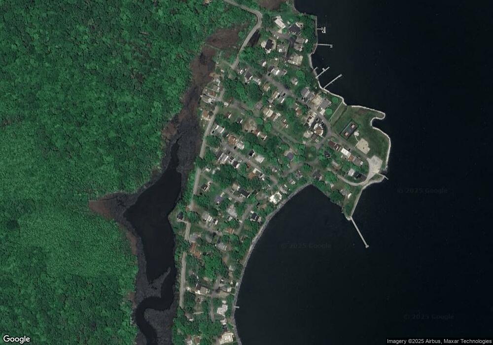
Map
Nearby Homes
- 1512 Lincoln Rd
- 5235 Al Jones Dr
- 5211 Al Jones Dr
- 5250 Al Jones Dr
- 1711 Columbia Beach Rd
- 5314 Al Jones Dr
- 1731 Columbia Beach Rd
- 1503 Callaway Dr
- 1445 & 1447 Haile Pkwy
- 1461 Cedarhurst Rd
- 0 Haile Pkwy Unit MDAA2127474
- 1213 Oak Ave
- 1436 Haile Pkwy
- 1208 Oak Ave
- 1220 Grove Ave
- 1428 Haile Pkwy
- 1408 & 1410 Haile Pkwy
- 6070 Shady Side Rd
- 0 Shady Side Rd Unit MDAA2113156
- 0 Shady Side Rd Unit MDAA2113166
- 1527 Lincoln Rd
- 1533 Lincoln Rd
- 1519 Lincoln Rd
- 1537 Lincoln Rd
- 1524 Baker Rd
- 1514 Baker Rd
- 1517 Lincoln Rd
- 1528 Lincoln Rd
- 1520 Lincoln Rd
- 5222 Al Jones Dr
- 1532 Lincoln Rd
- 1508 Baker Rd
- 1511 Lincoln Rd
- 1543 Lincoln Rd
- 5224 Al Jones Dr
- 5228 Al Jones Dr
- 1516 Lincoln Rd
- 1504 Baker Rd
- 1540 Lincoln Rd
- 1642 Columbia Beach Rd