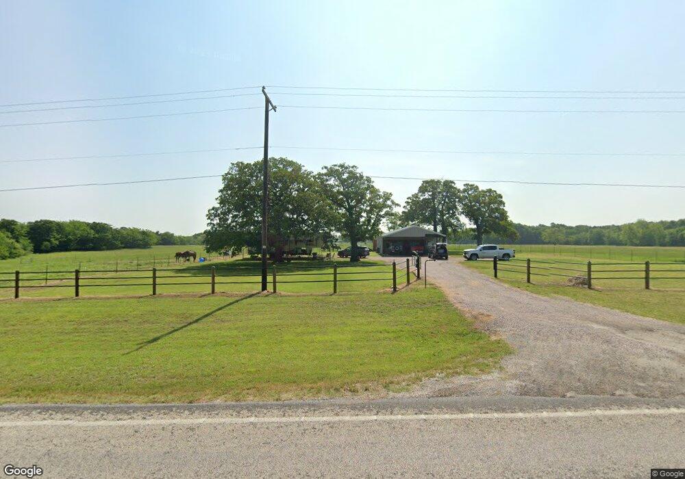
152A N Main St Sadler, TX 76264
Estimated Value: $232,000
--
Bed
--
Bath
800
Sq Ft
$290/Sq Ft
Est. Value
About This Home
This home is located at 152A N Main St, Sadler, TX 76264 and is currently estimated at $232,000, approximately $290 per square foot. 152A N Main St is a home with nearby schools including S&S Consolidated Elementary School, S&S Consolidated Middle School, and S. & S. Cons H.S..
Ownership History
Date
Name
Owned For
Owner Type
Purchase Details
Closed on
Sep 14, 2006
Sold by
Stanberry Angela Marie and Kennedy Angela Marie Stanberry
Bought by
Tolleson Randy
Current Estimated Value
Home Financials for this Owner
Home Financials are based on the most recent Mortgage that was taken out on this home.
Original Mortgage
$56,552
Outstanding Balance
$4,936
Interest Rate
6.64%
Mortgage Type
FHA
Estimated Equity
$227,064
Create a Home Valuation Report for This Property
The Home Valuation Report is an in-depth analysis detailing your home's value as well as a comparison with similar homes in the area
Home Values in the Area
Average Home Value in this Area
Purchase History
| Date | Buyer | Sale Price | Title Company |
|---|---|---|---|
| Tolleson Randy | -- | Chapin Title Co Inc |
Source: Public Records
Mortgage History
| Date | Status | Borrower | Loan Amount |
|---|---|---|---|
| Open | Tolleson Randy | $56,552 |
Source: Public Records
Tax History Compared to Growth
Tax History
| Year | Tax Paid | Tax Assessment Tax Assessment Total Assessment is a certain percentage of the fair market value that is determined by local assessors to be the total taxable value of land and additions on the property. | Land | Improvement |
|---|---|---|---|---|
| 2025 | $738 | $139,311 | -- | -- |
| 2024 | $1,886 | $126,646 | $0 | $0 |
| 2023 | $388 | $102,463 | $0 | $0 |
| 2022 | $1,563 | $93,148 | $0 | $0 |
| 2021 | $1,607 | $100,276 | $15,200 | $85,076 |
| 2020 | $1,506 | $95,436 | $15,200 | $80,236 |
| 2019 | $1,484 | $93,326 | $12,160 | $81,166 |
| 2018 | $1,235 | $80,914 | $12,160 | $68,754 |
| 2017 | $1,131 | $70,042 | $9,120 | $60,922 |
| 2016 | $1,028 | $52,580 | $8,360 | $44,220 |
| 2015 | $0 | $52,580 | $8,360 | $44,220 |
| 2014 | -- | $46,445 | $7,600 | $38,845 |
Source: Public Records
Map
Nearby Homes
- 00 Farm To Market Road 901
- 4231 Spalding Rd
- 192 Brooks Ln
- Lot 3 Rodgers Rd
- Lot 4 Rodgers Rd
- Lot 5 Rodgers Rd
- 28400 W Us Highway 82 B
- 28400 U S Highway 82
- 1101 Brooks Ln
- 2242 Dixie Rd
- TBD Brooks Ln
- 1130 Brooks Ln
- 1761 Brooks Ln
- 144 Raccoon Dr
- Tract 2 Gilbreath Rd
- 452 Spalding Rd
- 0000 Farm To Market Road 901
- 11 Acres Tract 4 Unit Gilbreath Road Sad
- 2290 Brooks Ln
- 790 Ferguson Rd