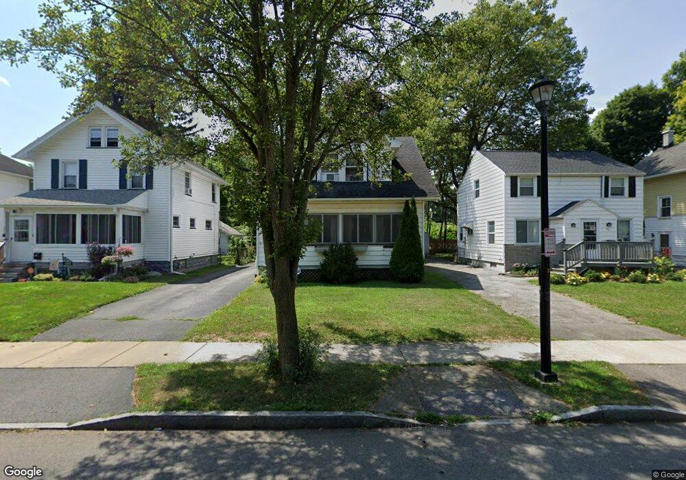
153 Westfield St Rochester, NY 14619
19th Ward NeighborhoodEstimated Value: $155,000 - $172,000
3
Beds
1
Bath
1,200
Sq Ft
$136/Sq Ft
Est. Value
About This Home
This home is located at 153 Westfield St, Rochester, NY 14619 and is currently estimated at $162,914, approximately $135 per square foot. 153 Westfield St is a home located in Monroe County with nearby schools including John Walton Spencer School No. 16, Adlai E. Stevenson School 29, and School 19 Dr Charles T Lunsford.
Ownership History
Date
Name
Owned For
Owner Type
Purchase Details
Closed on
Apr 18, 2008
Sold by
Evans William D
Bought by
Latimer Joella
Current Estimated Value
Home Financials for this Owner
Home Financials are based on the most recent Mortgage that was taken out on this home.
Original Mortgage
$67,316
Outstanding Balance
$42,930
Interest Rate
6.1%
Mortgage Type
VA
Estimated Equity
$119,984
Create a Home Valuation Report for This Property
The Home Valuation Report is an in-depth analysis detailing your home's value as well as a comparison with similar homes in the area
Home Values in the Area
Average Home Value in this Area
Purchase History
| Date | Buyer | Sale Price | Title Company |
|---|---|---|---|
| Latimer Joella | $65,900 | -- |
Source: Public Records
Mortgage History
| Date | Status | Borrower | Loan Amount |
|---|---|---|---|
| Open | Latimer Joella | $67,316 |
Source: Public Records
Tax History Compared to Growth
Tax History
| Year | Tax Paid | Tax Assessment Tax Assessment Total Assessment is a certain percentage of the fair market value that is determined by local assessors to be the total taxable value of land and additions on the property. | Land | Improvement |
|---|---|---|---|---|
| 2024 | $1,128 | $127,800 | $10,600 | $117,200 |
| 2023 | $2,457 | $65,500 | $5,900 | $59,600 |
| 2022 | $2,434 | $65,500 | $5,900 | $59,600 |
| 2021 | $1,468 | $65,500 | $5,900 | $59,600 |
| 2020 | $940 | $65,500 | $5,900 | $59,600 |
| 2019 | $843 | $63,700 | $5,900 | $57,800 |
| 2018 | $1,630 | $63,700 | $5,900 | $57,800 |
| 2017 | $0 | $63,700 | $5,900 | $57,800 |
| 2016 | $843 | $63,700 | $5,900 | $57,800 |
| 2015 | $2,280 | $64,100 | $5,900 | $58,200 |
| 2014 | $2,280 | $64,100 | $5,900 | $58,200 |
Source: Public Records
Map
Nearby Homes
- 294 Penhurst St
- 99 Westfield St
- 974 Arnett Blvd
- 152 Inglewood Dr
- 101 Roxborough Rd
- 96 Hillendale St
- 51 Penhurst St
- 29-33 Westgate Terrace
- 127 Devonshire Ct
- 741 Genesee Park Blvd Unit 743
- 19 Hillendale St Unit 21
- 66 Briggs St
- 56 Chili Terrace
- 215 Lincoln Ave
- 119-121 Thurston Rd
- 111 Enterprise St Unit 113
- 107 Enterprise St
- 91-97 Thurston Rd
- 132-134 Salina St
- 79 Dunbar St
- 147 Westfield St
- 157 Westfield St
- 163 Westfield St
- 141 Westfield St
- 137 Westfield St
- 169 Westfield St
- 339 Marlborough Rd
- 133 Westfield St
- 173 Westfield St
- 338 Marlborough Rd
- 333 Marlborough Rd
- 508 Ravenwood Ave
- 179 Westfield St
- 129 Westfield St
- 336 Marlborough Rd
- 321 Marlborough Rd
- 502 Ravenwood Ave
- 185 Westfield St
- 121 Westfield St
- 330 Marlborough Rd