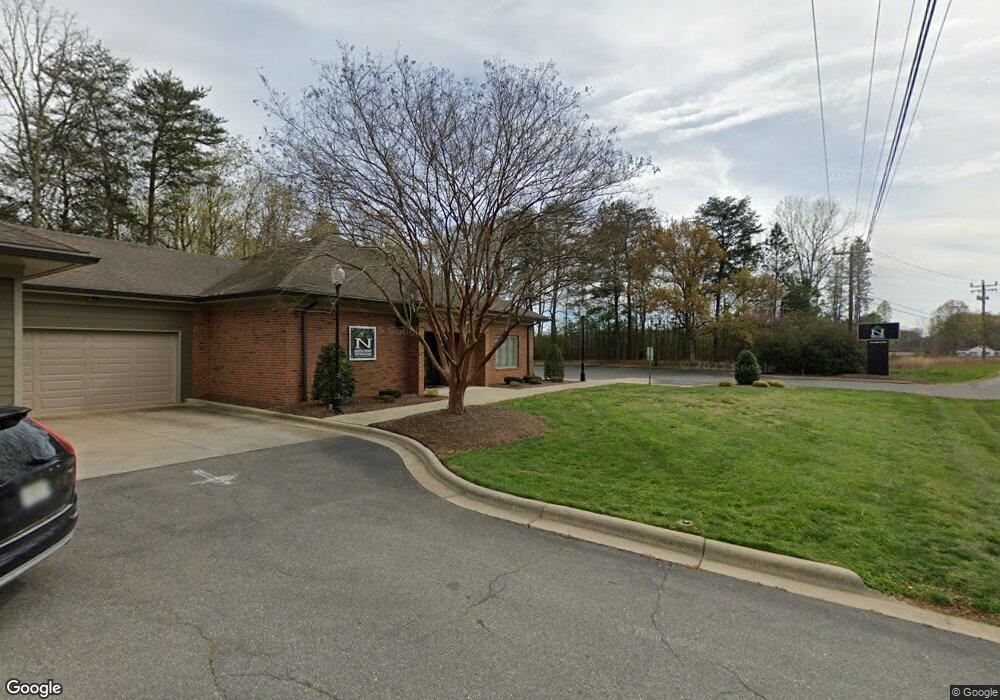
1531 S Post Rd Shelby, NC 28152
--
Bed
--
Bath
3,064
Sq Ft
1.62
Acres
About This Home
This home is located at 1531 S Post Rd, Shelby, NC 28152. 1531 S Post Rd is a home located in Cleveland County with nearby schools including Township Three Elementary School, Crest Middle School, and Crest High School.
Ownership History
Date
Name
Owned For
Owner Type
Purchase Details
Closed on
Dec 3, 2018
Sold by
National Assoication Of Safety Professio
Bought by
Lowery Jason S and Lowery Hayley D
Home Financials for this Owner
Home Financials are based on the most recent Mortgage that was taken out on this home.
Original Mortgage
$159,120
Outstanding Balance
$140,188
Interest Rate
4.8%
Mortgage Type
Future Advance Clause Open End Mortgage
Purchase Details
Closed on
Mar 17, 2015
Sold by
Bank Of The Ozarks
Bought by
Natl Assn Of Safety Professionals Inc
Home Financials for this Owner
Home Financials are based on the most recent Mortgage that was taken out on this home.
Original Mortgage
$316,500
Interest Rate
3.87%
Mortgage Type
Unknown
Create a Home Valuation Report for This Property
The Home Valuation Report is an in-depth analysis detailing your home's value as well as a comparison with similar homes in the area
Home Values in the Area
Average Home Value in this Area
Purchase History
| Date | Buyer | Sale Price | Title Company |
|---|---|---|---|
| Lowery Jason S | $188,000 | None Available | |
| Natl Assn Of Safety Professionals Inc | $230,000 | None Available |
Source: Public Records
Mortgage History
| Date | Status | Borrower | Loan Amount |
|---|---|---|---|
| Open | Lowery Jason S | $159,120 | |
| Previous Owner | Natl Assn Of Safety Professionals Inc | $316,500 |
Source: Public Records
Tax History Compared to Growth
Tax History
| Year | Tax Paid | Tax Assessment Tax Assessment Total Assessment is a certain percentage of the fair market value that is determined by local assessors to be the total taxable value of land and additions on the property. | Land | Improvement |
|---|---|---|---|---|
| 2025 | $2,960 | $466,084 | $107,153 | $358,931 |
| 2024 | $2,561 | $322,146 | $45,033 | $277,113 |
| 2023 | $2,548 | $322,146 | $45,033 | $277,113 |
| 2022 | $2,548 | $322,146 | $45,033 | $277,113 |
| 2021 | $2,561 | $322,146 | $45,033 | $277,113 |
| 2020 | $2,516 | $304,092 | $45,033 | $259,059 |
| 2019 | $2,817 | $340,395 | $45,033 | $295,362 |
| 2018 | $2,817 | $340,395 | $45,033 | $295,362 |
| 2017 | $2,803 | $340,395 | $45,033 | $295,362 |
| 2016 | $2,834 | $340,395 | $45,033 | $295,362 |
| 2015 | $3,595 | $455,040 | $22,533 | $432,507 |
| 2014 | $3,595 | $455,040 | $22,533 | $432,507 |
Source: Public Records
Map
Nearby Homes
- 1915 Pleasant Hill Church Rd
- 1414 S Post Rd
- 1821 Beaman St
- 2036 Biggers Lake Rd
- 3009 Drake Center
- 3007 Drake Cir
- 3005 Drake Cir
- 2126 Amesbury Dr
- 5409 Canterbury Rd
- 506 Maddox Dr
- 2344 Joes Lake Rd
- 5115 Circle Dr
- 611 Maddox Dr
- 5001 Westgate Dr Unit 68
- 236 Pinnacle Crossing
- 112 Jenny Dr
- The Weston Plan at Kings View
- The Linfield - II Plan at Kings View
- The Jacobs Plan at Kings View
- The Jackson Plan at Kings View
- 1538 S Post Rd
- 1536 S Post Rd
- 1789 Idlewild Dr
- 1600 S Post Rd
- 1602 S Post Rd
- 1784 Idlewild Dr
- 1783 Idlewild Dr
- 1524 S Post Rd
- 1604 S Post Rd
- 1930 Pleasant Hill Church Rd
- 1779 Idlewild Dr
- 1522 S Post Rd
- 1606 S Post Rd
- 1607 Peterson Dr
- 1778 Idlewild Dr
- 1777 Idlewild Dr
- 1932 Pleasant Hill Church Rd
- 1608 S Post Rd
- 1611 S Post Rd
- 1776 Idlewild Dr