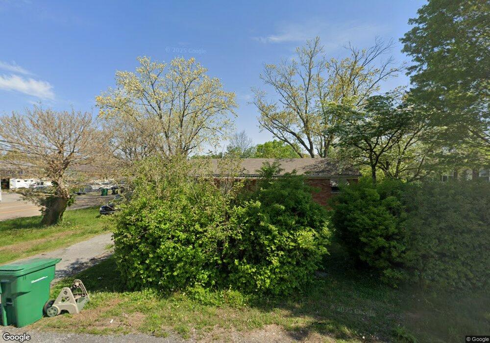
1538 Jones St Morristown, TN 37813
Estimated Value: $87,000 - $219,000
--
Bed
1
Bath
997
Sq Ft
$152/Sq Ft
Est. Value
About This Home
This home is located at 1538 Jones St, Morristown, TN 37813 and is currently estimated at $151,366, approximately $151 per square foot. 1538 Jones St is a home located in Hamblen County with nearby schools including Lincoln Heights Elementary School, Lincoln Heights Middle School, and Morristown West High School.
Ownership History
Date
Name
Owned For
Owner Type
Purchase Details
Closed on
Mar 17, 2025
Sold by
Burton William E and Liv Judith
Bought by
Bonilla Franco Villa and Bonilla Norma Villa
Current Estimated Value
Home Financials for this Owner
Home Financials are based on the most recent Mortgage that was taken out on this home.
Original Mortgage
$47,000
Outstanding Balance
$46,763
Interest Rate
6.95%
Mortgage Type
New Conventional
Estimated Equity
$104,603
Purchase Details
Closed on
Nov 10, 2004
Sold by
Rickard Blaine
Bought by
Burton William E
Purchase Details
Closed on
Jan 23, 1962
Bought by
Rickard Baline and Rickard Nina K
Create a Home Valuation Report for This Property
The Home Valuation Report is an in-depth analysis detailing your home's value as well as a comparison with similar homes in the area
Home Values in the Area
Average Home Value in this Area
Purchase History
| Date | Buyer | Sale Price | Title Company |
|---|---|---|---|
| Bonilla Franco Villa | $87,000 | Lakeway Title Services | |
| Burton William E | $45,000 | -- | |
| Rickard Baline | -- | -- |
Source: Public Records
Mortgage History
| Date | Status | Borrower | Loan Amount |
|---|---|---|---|
| Open | Bonilla Franco Villa | $47,000 |
Source: Public Records
Tax History Compared to Growth
Tax History
| Year | Tax Paid | Tax Assessment Tax Assessment Total Assessment is a certain percentage of the fair market value that is determined by local assessors to be the total taxable value of land and additions on the property. | Land | Improvement |
|---|---|---|---|---|
| 2024 | $266 | $15,100 | $3,100 | $12,000 |
| 2023 | $266 | $15,100 | $0 | $0 |
| 2022 | $477 | $15,100 | $3,100 | $12,000 |
| 2021 | $477 | $15,100 | $3,100 | $12,000 |
| 2020 | $477 | $15,100 | $3,100 | $12,000 |
| 2019 | $439 | $12,900 | $3,050 | $9,850 |
| 2018 | $406 | $12,900 | $3,050 | $9,850 |
| 2017 | $400 | $12,900 | $3,050 | $9,850 |
| 2016 | $382 | $12,900 | $3,050 | $9,850 |
| 2015 | $355 | $12,900 | $3,050 | $9,850 |
| 2014 | -- | $12,900 | $3,050 | $9,850 |
| 2013 | -- | $14,900 | $0 | $0 |
Source: Public Records
Map
Nearby Homes
- 440 S Fairmont Ave
- 837 Pauline Ave
- 1530 Rayburn Dr
- 731 Lennie Ave
- 203 Lincoln Ave
- 1476 Darbee Dr
- 1211 W 6th St N
- 816 W 2nd St N
- 900 Baird Ave
- 1002 Watercrest St
- 722 W 2nd St N
- Darwin Plan at Southwood
- Penwell Plan at Southwood
- Elston Plan at Southwood
- Robie Plan at Southwood
- Cali Plan at Southwood
- Belhaven Plan at Southwood
- 1442 Darbee Dr
- 1049 Greenway Dr
- 2018 Southwood Cir