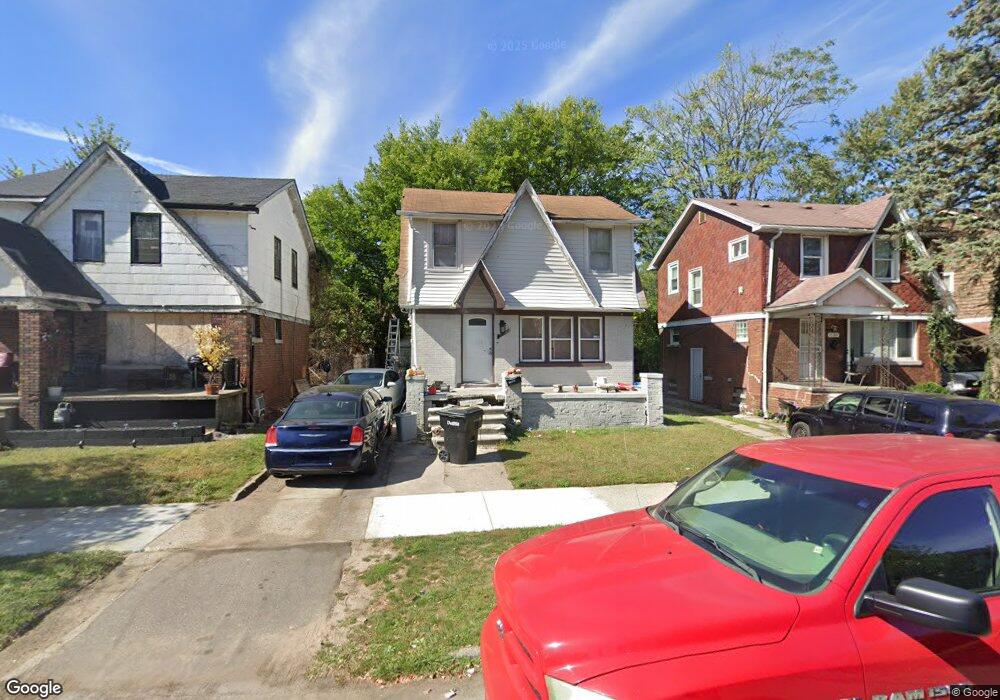
15381 Lesure St Detroit, MI 48227
Bethune Community NeighborhoodEstimated Value: $59,568 - $119,000
4
Beds
3
Baths
1,064
Sq Ft
$76/Sq Ft
Est. Value
About This Home
This home is located at 15381 Lesure St, Detroit, MI 48227 and is currently estimated at $80,892, approximately $76 per square foot. 15381 Lesure St is a home located in Wayne County with nearby schools including Young Coleman A. Elementary School, John R. King Academic And Performing Arts Academy, and Charles L. Spain Elementary-Middle School.
Ownership History
Date
Name
Owned For
Owner Type
Purchase Details
Closed on
Oct 17, 2017
Sold by
The Detroit Land Bank Authority
Bought by
Lockard Juawan
Current Estimated Value
Purchase Details
Closed on
Mar 9, 2017
Sold by
U S Bank Na
Bought by
Detroit Land Bank Authority
Purchase Details
Closed on
Nov 7, 2012
Sold by
U S Bank National Association
Bought by
Secretary Of Housing & Urban Development
Purchase Details
Closed on
Jun 21, 2012
Sold by
Ruffin Sheila S
Bought by
U S Bank National Association
Create a Home Valuation Report for This Property
The Home Valuation Report is an in-depth analysis detailing your home's value as well as a comparison with similar homes in the area
Home Values in the Area
Average Home Value in this Area
Purchase History
| Date | Buyer | Sale Price | Title Company |
|---|---|---|---|
| Lockard Juawan | $1,000 | None Available | |
| Detroit Land Bank Authority | -- | None Available | |
| Secretary Of Housing & Urban Development | -- | None Available | |
| U S Bank National Association | $106,176 | None Available |
Source: Public Records
Tax History Compared to Growth
Tax History
| Year | Tax Paid | Tax Assessment Tax Assessment Total Assessment is a certain percentage of the fair market value that is determined by local assessors to be the total taxable value of land and additions on the property. | Land | Improvement |
|---|---|---|---|---|
| 2025 | $858 | $23,800 | $0 | $0 |
| 2024 | $858 | $20,300 | $0 | $0 |
| 2023 | $832 | $16,600 | $0 | $0 |
| 2022 | $880 | $13,900 | $0 | $0 |
| 2021 | $1,023 | $10,800 | $0 | $0 |
| 2020 | $859 | $10,600 | $0 | $0 |
| 2019 | $847 | $8,200 | $0 | $0 |
| 2018 | $756 | $6,700 | $0 | $0 |
| 2017 | $127 | $6,700 | $0 | $0 |
| 2016 | $1,352 | $14,700 | $0 | $0 |
| 2015 | $1,470 | $14,700 | $0 | $0 |
| 2013 | $2,068 | $20,676 | $0 | $0 |
| 2010 | -- | $29,625 | $672 | $28,953 |
Source: Public Records
Map
Nearby Homes
- 15354 Stansbury St
- 15431 Cruse St
- 15486 Lesure St
- 15110 Cruse St
- 15475 Ardmore St
- 15724 Lesure St
- 15375 Freeland St
- 15703 Ardmore St
- 15344 Hartwell St
- 15102 Freeland St
- 15019 Stansbury St
- 15036 Tracey St
- 15766 Cruse St
- 15767 Cruse St
- 15780 Stansbury St
- 15061 Hartwell St
- 15786 Ardmore St
- 15039 Freeland St
- 15031 Freeland St
- 15395 Littlefield St
- 15377 Lesure St
- 15378 Stansbury St
- 15374 Stansbury St
- 15384 Stansbury St
- 15371 Lesure St
- 15387 Lesure St
- 15368 Stansbury St
- 15393 Lesure St
- 15367 Lesure St
- 15386 Stansbury St
- 15392 Stansbury St
- 15397 Lesure St
- 15364 Stansbury St
- 15358 Stansbury St
- 15361 Lesure St
- 15348 Stansbury St
- 15403 Lesure St
- 15400 Stansbury St
- 15380 Lesure St
- 15374 Lesure St