154 Center Cemetery Rd Woodstock, CT 06281
Estimated Value: $405,090 - $424,000
3
Beds
3
Baths
1,235
Sq Ft
$335/Sq Ft
Est. Value
About This Home
This home is located at 154 Center Cemetery Rd, Woodstock, CT 06281 and is currently estimated at $414,023, approximately $335 per square foot. 154 Center Cemetery Rd is a home located in Windham County with nearby schools including Woodstock Elementary School and Woodstock Middle School.
Ownership History
Date
Name
Owned For
Owner Type
Purchase Details
Closed on
Oct 10, 2018
Sold by
Nordman David A
Bought by
Nordman Lorie J
Current Estimated Value
Purchase Details
Closed on
Aug 1, 2001
Sold by
Molnar Lysa B
Bought by
Nordman David
Home Financials for this Owner
Home Financials are based on the most recent Mortgage that was taken out on this home.
Original Mortgage
$145,000
Interest Rate
7.14%
Mortgage Type
Purchase Money Mortgage
Purchase Details
Closed on
Jan 16, 1991
Sold by
Larson Robert and Larson Mary
Bought by
Molnar Richard and Burrell Lysa
Home Financials for this Owner
Home Financials are based on the most recent Mortgage that was taken out on this home.
Original Mortgage
$100,000
Interest Rate
9.68%
Mortgage Type
Purchase Money Mortgage
Create a Home Valuation Report for This Property
The Home Valuation Report is an in-depth analysis detailing your home's value as well as a comparison with similar homes in the area
Home Values in the Area
Average Home Value in this Area
Purchase History
| Date | Buyer | Sale Price | Title Company |
|---|---|---|---|
| Nordman Lorie J | -- | -- | |
| Nordman David | $145,000 | -- | |
| Molnar Richard | $117,000 | -- |
Source: Public Records
Mortgage History
| Date | Status | Borrower | Loan Amount |
|---|---|---|---|
| Previous Owner | Molnar Richard | $188,000 | |
| Previous Owner | Molnar Richard | $145,000 | |
| Previous Owner | Molnar Richard | $100,000 |
Source: Public Records
Tax History Compared to Growth
Tax History
| Year | Tax Paid | Tax Assessment Tax Assessment Total Assessment is a certain percentage of the fair market value that is determined by local assessors to be the total taxable value of land and additions on the property. | Land | Improvement |
|---|---|---|---|---|
| 2025 | $4,758 | $194,900 | $38,000 | $156,900 |
| 2024 | $4,490 | $194,900 | $38,000 | $156,900 |
| 2023 | $4,368 | $194,900 | $38,000 | $156,900 |
| 2022 | $4,064 | $194,900 | $38,000 | $156,900 |
| 2021 | $4,062 | $159,300 | $38,000 | $121,300 |
| 2020 | $3,124 | $127,500 | $38,000 | $89,500 |
| 2019 | $3,124 | $127,500 | $38,000 | $89,500 |
| 2018 | $3,124 | $127,500 | $38,000 | $89,500 |
| 2017 | $3,098 | $127,500 | $38,000 | $89,500 |
| 2016 | $2,755 | $114,600 | $43,500 | $71,100 |
| 2015 | $2,677 | $114,600 | $43,500 | $71,100 |
| 2014 | $2,647 | $114,600 | $43,500 | $71,100 |
Source: Public Records
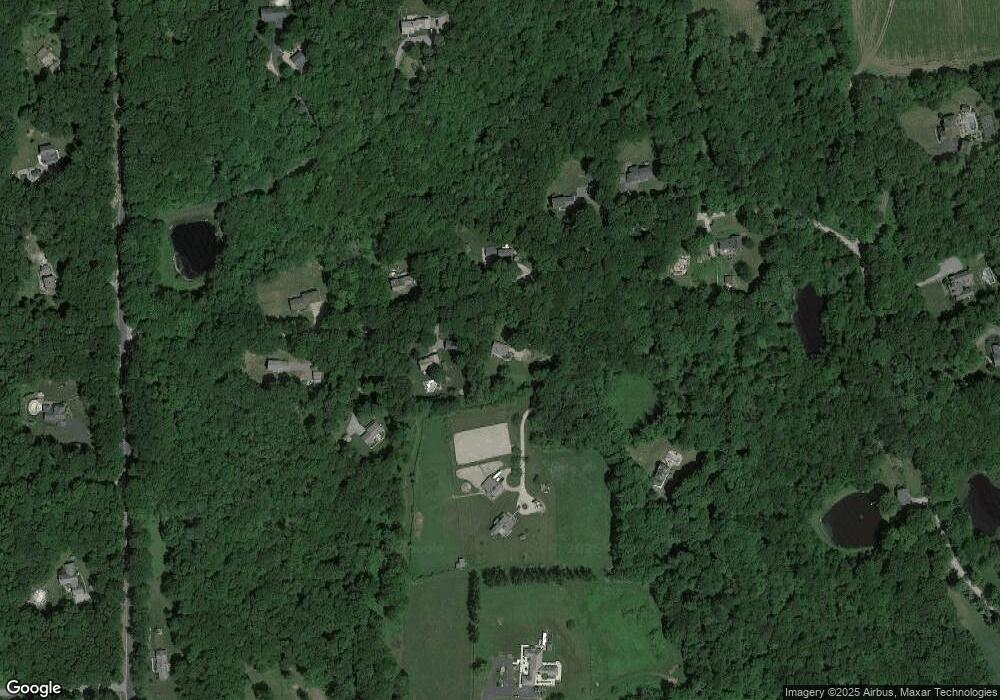
Map
Nearby Homes
- 26 Center Rd
- 101 Center Rd
- 0 Center Rd
- 189 Center Rd
- 0 English Neighborhood Rd
- 0 Aplin Hill Ln
- 175 Pulpit Rock Rd
- 00 Prospect St
- 71 Rawson Rd
- 00 Route 171 Unit Lot 1
- 278 Child Rd
- 36 Olde Meadow Rd
- 0 Connecticut 171
- 4 Perrin Rd
- 104 Pulpit Rock Rd
- 10 Laurel Hill Dr
- 101 Child Hill Rd
- 80 Bungay Hill Rd
- 56 Laurel Hill Dr
- 70 Laurel Hill Dr
- 161 Center Cemetery Rd
- 164 Center Cemetery Rd
- 171 Center Cemetery Rd
- 147 Center Cemetery Rd
- 150 Center Cemetery Rd
- 145 Center Cemetery Rd
- 148 Center Cemetery Rd
- 174 Center Cemetery Rd
- 130 Center Cemetery Rd
- 181 Center Cemetery Rd
- 184 Center Cemetery Rd
- 74 Center Rd
- 72 Center Rd
- 86 Center Cemetery Rd
- 44 Town Farm Rd
- 103 Center Cemetery Rd
- 38 Town Farm Rd
- 97 Center Rd
- 0 Center Cemetery Rd
- 95 Center Cemetery Rd