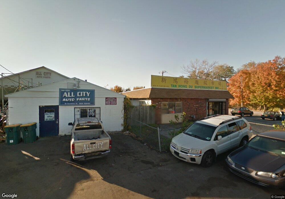
1541 N Clinton Ave Rochester, NY 14621
Northeast Rochester NeighborhoodEstimated Value: $97,437
--
Bed
--
Bath
3,306
Sq Ft
$29/Sq Ft
Est. Value
About This Home
This home is located at 1541 N Clinton Ave, Rochester, NY 14621 and is currently priced at $97,437, approximately $29 per square foot. 1541 N Clinton Ave is a home located in Monroe County with nearby schools including School 9-DR Martin Luther King Jr, School 8-Roberto Clemente, and School 39-Andrew J. Townson.
Ownership History
Date
Name
Owned For
Owner Type
Purchase Details
Closed on
Oct 10, 2024
Sold by
1541 North Clinton Avenue Llc
Bought by
666 Driving Park Llc
Current Estimated Value
Purchase Details
Closed on
Sep 22, 2023
Sold by
Nam Thanh Corporation
Bought by
1541 North Clinton Avenue Llc
Purchase Details
Closed on
Jun 30, 2021
Sold by
Nam Thanh Corporation
Bought by
County Of Monroe
Purchase Details
Closed on
Nov 5, 1997
Sold by
Bonco Ent Inc
Bought by
Nam Thanh Corporation
Create a Home Valuation Report for This Property
The Home Valuation Report is an in-depth analysis detailing your home's value as well as a comparison with similar homes in the area
Home Values in the Area
Average Home Value in this Area
Purchase History
| Date | Buyer | Sale Price | Title Company |
|---|---|---|---|
| 666 Driving Park Llc | $100,000 | Abar Abstract | |
| 1541 North Clinton Avenue Llc | -- | None Listed On Document | |
| County Of Monroe | -- | -- | |
| Nam Thanh Corporation | $150,000 | -- |
Source: Public Records
Tax History Compared to Growth
Tax History
| Year | Tax Paid | Tax Assessment Tax Assessment Total Assessment is a certain percentage of the fair market value that is determined by local assessors to be the total taxable value of land and additions on the property. | Land | Improvement |
|---|---|---|---|---|
| 2024 | $1,397 | $165,300 | $55,500 | $109,800 |
| 2023 | $1,507 | $138,900 | $55,500 | $83,400 |
| 2022 | $1,550 | $138,900 | $55,500 | $83,400 |
| 2021 | $1,573 | $138,900 | $55,500 | $83,400 |
| 2020 | $1,739 | $138,900 | $55,500 | $83,400 |
| 2019 | $1,699 | $138,900 | $55,500 | $83,400 |
| 2018 | $7,875 | $138,900 | $55,500 | $83,400 |
| 2017 | $7,875 | $138,900 | $55,500 | $83,400 |
| 2016 | $1,699 | $138,900 | $55,500 | $83,400 |
| 2015 | -- | $138,900 | $55,500 | $83,400 |
| 2014 | -- | $138,900 | $55,500 | $83,400 |
Source: Public Records
Map
Nearby Homes
- 330 & 336 Norton St
- 431-433 Hollenbeck St Unit 2
- 36 Nye Park Unit 38
- 24 Nye Park
- 21 Nye Pkwy
- 226-228 Norton St
- 27-29 Trenaman St
- 24 Whittier Park
- 155 Norton St
- 585-587 Conkey Ave
- 10 Emanon St
- 27-29 Weaver St
- 68 Weaver St
- 1737-1739 Saint Paul St
- 32 van Stallen St
- 232 Townsend St
- 39 Townsend St
- 1227 N Clinton Ave Unit 1221
- 350 Remington St
- 1845 N Clinton Ave
- 1509-1525 N Clinton Ave Ave
- 1525 N Clinton Ave
- 1519 N Clinton Ave
- 19 Darrow St
- 25 Darrow St
- 13 Darrow St Unit 15
- 1571 N Clinton Ave Unit 1573
- 70 Arthur St
- 1505 N Clinton Ave
- 64 Arthur St
- 1577 N Clinton Ave
- 60 Arthur St
- 1499 N Clinton Ave Unit 1501
- 10 Darrow St
- 1589 N Clinton Ave
- 534-536 Hollenbeck St
- 534 Hollenbeck St Unit 536
- 18 Darrow St Unit 20
- 26 Darrow St
- 542 Hollenbeck St Unit 544