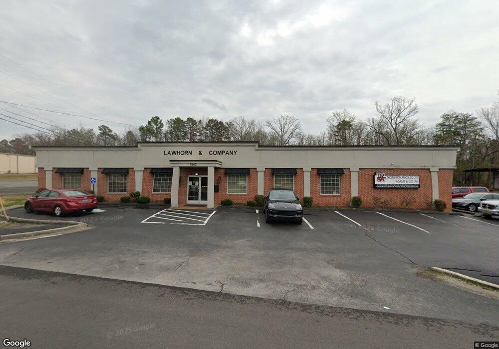
1543 S Lee Hwy Cleveland, TN 37311
--
Bed
1
Bath
16,240
Sq Ft
0.74
Acres
About This Home
This home is located at 1543 S Lee Hwy, Cleveland, TN 37311. 1543 S Lee Hwy is a home located in Bradley County with nearby schools including Blythe-Bower Elementary School, Cleveland Middle School, and Cleveland High School.
Ownership History
Date
Name
Owned For
Owner Type
Purchase Details
Closed on
Mar 1, 2013
Sold by
Lawhorn William K
Bought by
Tsa Rentals Llc
Home Financials for this Owner
Home Financials are based on the most recent Mortgage that was taken out on this home.
Original Mortgage
$850,000
Interest Rate
3.56%
Mortgage Type
Commercial
Purchase Details
Closed on
Apr 29, 2008
Sold by
Branch Banking And Trust C
Bought by
Lawhorn William K
Home Financials for this Owner
Home Financials are based on the most recent Mortgage that was taken out on this home.
Original Mortgage
$486,000
Interest Rate
5.86%
Mortgage Type
Commercial
Create a Home Valuation Report for This Property
The Home Valuation Report is an in-depth analysis detailing your home's value as well as a comparison with similar homes in the area
Home Values in the Area
Average Home Value in this Area
Purchase History
| Date | Buyer | Sale Price | Title Company |
|---|---|---|---|
| Tsa Rentals Llc | $1,000,000 | -- | |
| Lawhorn William K | $481,000 | -- |
Source: Public Records
Mortgage History
| Date | Status | Borrower | Loan Amount |
|---|---|---|---|
| Closed | Tsa Rentals Llc | $850,000 | |
| Previous Owner | Lawhorn William K | $486,000 |
Source: Public Records
Tax History Compared to Growth
Tax History
| Year | Tax Paid | Tax Assessment Tax Assessment Total Assessment is a certain percentage of the fair market value that is determined by local assessors to be the total taxable value of land and additions on the property. | Land | Improvement |
|---|---|---|---|---|
| 2024 | $5,802 | $403,160 | $73,800 | $329,360 |
| 2023 | $12,708 | $403,160 | $73,800 | $329,360 |
| 2022 | $12,708 | $403,160 | $73,800 | $329,360 |
| 2021 | $12,708 | $403,160 | $0 | $0 |
| 2020 | $13,132 | $403,160 | $0 | $0 |
| 2019 | $13,132 | $341,800 | $0 | $0 |
| 2018 | $14,082 | $0 | $0 | $0 |
| 2017 | $7,041 | $0 | $0 | $0 |
| 2016 | $10,621 | $0 | $0 | $0 |
| 2015 | $5,466 | $0 | $0 | $0 |
| 2014 | $5,489 | $0 | $0 | $0 |
Source: Public Records
Map
Nearby Homes
- 1715 McDonald Ln SW
- 1845 Circle Dr SW
- 1208 Phillips St SW
- 1220 Victory St SW
- LOT 61 Winesap Way SW
- 131 Winesap Way SW
- 1507 Fore Dr SW
- 115 Winesap Way SW
- 0 Courtland Crest Dr SW
- 264 Courtland Crest Dr SW
- 1107 Joseph Thomas Dr SW
- 1940 Sun Hill Rd SW
- 135 Rock Hill Rd SW
- 709 Westover Dr SW
- 2011 Pearl Dr SW
- Lot#1 Country Club Dr SW
- 1812 Church St SE
- 2074 Volunteer Dr SW
- 1649 S Lee Hwy
- 1702 McDonald Ln SW
- 1700 Forest Ridge Cir SW
- 1600 S Lee Hwy
- 1706 Forest Ridge Cir SW
- 1706 Forest Ridge Cir SW
- 1690 Forest Ridge Cir SW
- 1523 S Lee Hwy
- 1705 McDonald Ln SW
- 1712 Forest Ridge Cir SW
- 1701 Forest Ridge Cir SW
- 1701 Forest Ridge Cir SW Unit 1
- 1690 McDonald Ln SW
- 1709 Forest Ridge Cir SW
- 1517 S Lee Hwy
- 1680 McDonald Ln SW
- 1714 Forest Ridge Cir SW
- 1713 Forest Ridge Cir SW
- 1711 McDonald Ln SW
- 1702 SW Westland Dr Sw Dr SW