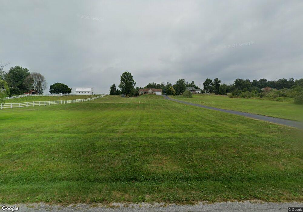
155 Locust Grove Rd Dillsburg, PA 17019
Estimated Value: $380,557 - $456,000
3
Beds
2
Baths
2,176
Sq Ft
$195/Sq Ft
Est. Value
About This Home
This home is located at 155 Locust Grove Rd, Dillsburg, PA 17019 and is currently estimated at $424,639, approximately $195 per square foot. 155 Locust Grove Rd is a home located in York County with nearby schools including Northern Middle School and Northern High School.
Ownership History
Date
Name
Owned For
Owner Type
Purchase Details
Closed on
Nov 5, 2018
Sold by
Butz Kerry R and Laterra Maria A
Bought by
Miller William E and Miller Cynthia A
Current Estimated Value
Home Financials for this Owner
Home Financials are based on the most recent Mortgage that was taken out on this home.
Original Mortgage
$80,000
Outstanding Balance
$50,394
Interest Rate
4.7%
Mortgage Type
New Conventional
Estimated Equity
$374,245
Purchase Details
Closed on
Feb 21, 1997
Sold by
Morrison Jerry C
Bought by
Butz Kerry R
Create a Home Valuation Report for This Property
The Home Valuation Report is an in-depth analysis detailing your home's value as well as a comparison with similar homes in the area
Home Values in the Area
Average Home Value in this Area
Purchase History
| Date | Buyer | Sale Price | Title Company |
|---|---|---|---|
| Miller William E | $310,000 | None Available | |
| Butz Kerry R | $45,000 | -- |
Source: Public Records
Mortgage History
| Date | Status | Borrower | Loan Amount |
|---|---|---|---|
| Open | Miller William E | $80,000 |
Source: Public Records
Tax History Compared to Growth
Tax History
| Year | Tax Paid | Tax Assessment Tax Assessment Total Assessment is a certain percentage of the fair market value that is determined by local assessors to be the total taxable value of land and additions on the property. | Land | Improvement |
|---|---|---|---|---|
| 2025 | $4,857 | $172,090 | $52,740 | $119,350 |
| 2024 | $4,806 | $172,090 | $52,740 | $119,350 |
| 2023 | $4,611 | $172,090 | $52,740 | $119,350 |
| 2022 | $4,515 | $172,090 | $52,740 | $119,350 |
| 2021 | $4,224 | $172,090 | $52,740 | $119,350 |
| 2020 | $4,125 | $172,090 | $52,740 | $119,350 |
| 2019 | $4,023 | $172,090 | $52,740 | $119,350 |
| 2018 | $3,938 | $172,090 | $52,740 | $119,350 |
| 2017 | $3,938 | $172,090 | $52,740 | $119,350 |
| 2016 | $0 | $172,090 | $52,740 | $119,350 |
| 2015 | -- | $172,090 | $52,740 | $119,350 |
| 2014 | -- | $172,090 | $52,740 | $119,350 |
Source: Public Records
Map
Nearby Homes
- 200 Franklintown Rd
- 65 Walmar Manor
- 78 Walmar Manor
- 124 Big Dam Rd
- 1540 Baltimore Rd
- 470 Capitol Hill Rd
- 531 Capitol Hill Rd
- 0 Church St Unit PAYK2054218
- 112 W South St
- 206 Bentz Mill Rd
- 1744 Ridge Rd
- 1014 Pondtown Rd
- lot 1 Baltimore St
- 385 Latimore Creek Rd
- 612 Range End Rd Unit 11
- 0 S Mountain Rd Unit PAYK2060260
- 104 Furman Rd
- 111 Saint George Dr
- 81 Tannery Rd
- 0 Range End Rd Unit PAYK2075290
- 157 Locust Grove Rd
- 153 Locust Grove Rd
- 159 Locust Grove Rd
- 161 Locust Grove Rd
- 297 Franklintown Rd
- 291 Franklintown Rd
- 149 Locust Grove Rd
- 285 Franklintown Rd
- 275 Franklintown Rd
- 301 Franklintown Rd
- 147 Locust Grove Rd
- 305 Franklintown Rd
- 289 Franklintown Rd
- 170 Locust Grove Rd
- 180 Locust Grove Rd
- 145 Locust Grove Rd
- 168 Locust Grove Rd
- 143 Locust Grove Rd
- 290 Franklintown Rd
- 195 Locust Grove Rd