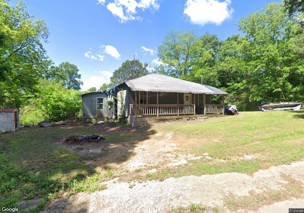
155 Rae St Odenville, AL 35120
Estimated Value: $45,321 - $203,000
--
Bed
--
Bath
1,379
Sq Ft
$108/Sq Ft
Est. Value
About This Home
This home is located at 155 Rae St, Odenville, AL 35120 and is currently estimated at $148,830, approximately $107 per square foot. 155 Rae St is a home with nearby schools including Margaret Elementary School, Moody Middle School, and Moody High School.
Ownership History
Date
Name
Owned For
Owner Type
Purchase Details
Closed on
Aug 20, 2020
Sold by
Burtram Timothy J
Bought by
Meadows Janis
Current Estimated Value
Purchase Details
Closed on
Jun 23, 2017
Sold by
Lefoy Waleter Louis
Bought by
Burtram Timothy J
Home Financials for this Owner
Home Financials are based on the most recent Mortgage that was taken out on this home.
Original Mortgage
$10,800
Interest Rate
3.95%
Mortgage Type
New Conventional
Create a Home Valuation Report for This Property
The Home Valuation Report is an in-depth analysis detailing your home's value as well as a comparison with similar homes in the area
Home Values in the Area
Average Home Value in this Area
Purchase History
| Date | Buyer | Sale Price | Title Company |
|---|---|---|---|
| Meadows Janis | -- | None Available | |
| Burtram Timothy J | $12,000 | None Available | |
| Burtram Timothy J | -- | None Available | |
| Lefoy Walter Louis | -- | None Available |
Source: Public Records
Mortgage History
| Date | Status | Borrower | Loan Amount |
|---|---|---|---|
| Previous Owner | Lefoy Walter Louis | $10,800 |
Source: Public Records
Tax History Compared to Growth
Tax History
| Year | Tax Paid | Tax Assessment Tax Assessment Total Assessment is a certain percentage of the fair market value that is determined by local assessors to be the total taxable value of land and additions on the property. | Land | Improvement |
|---|---|---|---|---|
| 2024 | $293 | $8,142 | $3,180 | $4,962 |
| 2023 | $293 | $6,620 | $2,416 | $4,204 |
| 2022 | $238 | $6,624 | $2,420 | $4,204 |
| 2021 | $209 | $6,620 | $2,416 | $4,204 |
| 2020 | $64 | $5,774 | $2,410 | $3,364 |
| 2019 | $64 | $2,869 | $1,205 | $1,664 |
| 2018 | $44 | $2,240 | $0 | $0 |
| 2017 | $158 | $4,460 | $0 | $0 |
| 2016 | $161 | $4,460 | $0 | $0 |
| 2015 | $158 | $4,460 | $0 | $0 |
| 2014 | $158 | $4,400 | $0 | $0 |
Source: Public Records
Map
Nearby Homes
- 55 Rae St
- 925 Moonlite Dr
- 890 Moonlite Dr
- 2590 Levine Rd
- 0 Railroad Dr Unit 22741747
- 457 Hidden Ridge Dr
- 260 Hawks Bend Ln
- 135 Deer Creek Dr
- 125 Deer Creek Dr
- 60 Deer Creek Dr
- 74 Autumn Trace
- 180 Levine Rd
- 117 Smith Ln
- 560 Ridge Cir
- 15 County Road 12
- 225 Cedar Creek Rd
- 50 Mason Dr
- 0 County Road 12 Unit 21395135
- 0 Roulain Rd Unit 7.91 acres 21414127
- 922 Brookstone Place