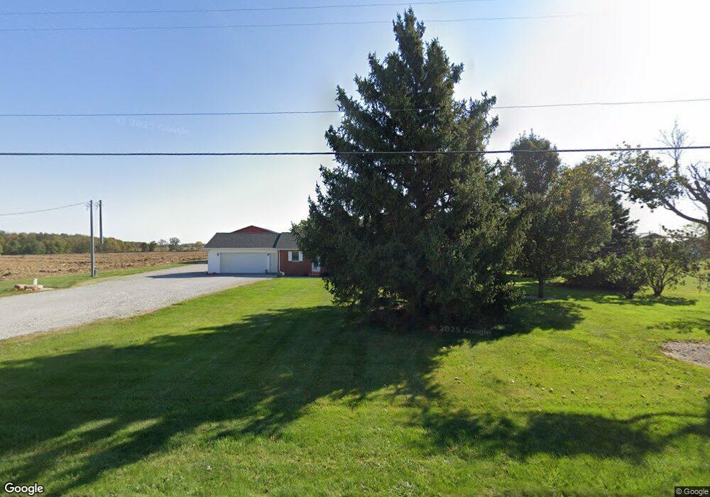
15508 State Route 65 Wapakoneta, OH 45895
Estimated Value: $245,000 - $355,000
3
Beds
2
Baths
2,002
Sq Ft
$149/Sq Ft
Est. Value
About This Home
This home is located at 15508 State Route 65, Wapakoneta, OH 45895 and is currently estimated at $298,197, approximately $148 per square foot. 15508 State Route 65 is a home located in Auglaize County with nearby schools including Wapakoneta Elementary School, Wapakoneta High School, and Wapakoneta Middle School.
Ownership History
Date
Name
Owned For
Owner Type
Purchase Details
Closed on
Sep 18, 2014
Sold by
Bailey Curtis G and Bailey Donna K
Bought by
Schmerge Randy M and Schmerge Jennifer R
Current Estimated Value
Home Financials for this Owner
Home Financials are based on the most recent Mortgage that was taken out on this home.
Original Mortgage
$152,000
Outstanding Balance
$116,409
Interest Rate
4.15%
Mortgage Type
Purchase Money Mortgage
Estimated Equity
$181,788
Purchase Details
Closed on
Jul 30, 2004
Sold by
Bowersock Earl W
Bought by
Bailey Curtis G
Create a Home Valuation Report for This Property
The Home Valuation Report is an in-depth analysis detailing your home's value as well as a comparison with similar homes in the area
Home Values in the Area
Average Home Value in this Area
Purchase History
| Date | Buyer | Sale Price | Title Company |
|---|---|---|---|
| Schmerge Randy M | $170,000 | None Available | |
| Bailey Curtis G | $155,000 | -- |
Source: Public Records
Mortgage History
| Date | Status | Borrower | Loan Amount |
|---|---|---|---|
| Open | Schmerge Randy M | $152,000 |
Source: Public Records
Tax History Compared to Growth
Tax History
| Year | Tax Paid | Tax Assessment Tax Assessment Total Assessment is a certain percentage of the fair market value that is determined by local assessors to be the total taxable value of land and additions on the property. | Land | Improvement |
|---|---|---|---|---|
| 2024 | $4,061 | $80,030 | $13,820 | $66,210 |
| 2023 | $2,749 | $80,030 | $13,820 | $66,210 |
| 2022 | $2,321 | $61,990 | $11,520 | $50,470 |
| 2021 | $2,302 | $61,990 | $11,520 | $50,470 |
| 2020 | $1,165 | $61,989 | $11,519 | $50,470 |
| 2019 | $1,994 | $51,794 | $9,601 | $42,193 |
| 2018 | $1,911 | $51,794 | $9,601 | $42,193 |
| 2017 | $1,899 | $51,794 | $9,601 | $42,193 |
| 2016 | $1,683 | $46,221 | $9,142 | $37,079 |
| 2015 | $1,682 | $46,221 | $9,142 | $37,079 |
| 2014 | $1,721 | $46,221 | $9,142 | $37,079 |
| 2013 | $1,746 | $46,221 | $9,142 | $37,079 |
Source: Public Records
Map
Nearby Homes
- 17 E Walnut St
- 37 N Main St
- 0 Ohio 67
- 20630 State Route 67
- 17092 Hauss Rd
- 22275 Buckland Holden Rd
- 116 N Wagner Ave
- 0 Ohio 67
- 0 Wapakoneta Cridersville Rd
- 409 S Pine St
- 17946 National Rd
- 201 E Pearl St
- 9 E Silver St
- 109 Bluegrass Dr
- 212 S Oak St
- 105 Guthrie St
- 25836 Ohio 67
- 202 W Mulberry St
- 102 Wapak St
- 211 W Benton St
- 15507 State Route 65
- 15507 Ohio 65
- 15442 State Route 65
- 15508 Ohio 65
- 15406 Ohio 65
- 15406 State Route 65
- 15740 State Route 65
- 15890 State Route 65
- 15054 State Route 65
- 15976 State Route 65
- 15980 Ohio 65
- 19423 Middle Pike
- 19288 Blank Pike
- 19491 Middle Pike
- 19468 Blank Pike
- 19297 Blank Pike
- 19405 Blank Pike
- 19451 Blank Pike
- 16100 State Route 65