1553 42nd St Somerset, WI 54025
Estimated Value: $452,218 - $841,000
--
Bed
--
Bath
--
Sq Ft
5
Acres
About This Home
This home is located at 1553 42nd St, Somerset, WI 54025 and is currently estimated at $603,305. 1553 42nd St is a home located in St. Croix County with nearby schools including Somerset Elementary School, Somerset Middle School, and Somerset High School.
Ownership History
Date
Name
Owned For
Owner Type
Purchase Details
Closed on
Jun 10, 2021
Sold by
Streng Deanna J and Streng Jonathan D
Bought by
Streng Jonathan D and Streng Deanna J
Current Estimated Value
Purchase Details
Closed on
Jul 19, 2013
Sold by
Streng Deanna J and Streng Deanna Strese
Bought by
Streng Deanna J and Streng Jonathan D
Purchase Details
Closed on
Oct 18, 2010
Sold by
Strese John E and Streng Deanna Strese
Bought by
Streng Deanna Strese
Purchase Details
Closed on
Aug 20, 2010
Sold by
The John A Strese & Evelyn C Strese Fami
Bought by
The John A Strese & Evelyn C Strese Surv
Purchase Details
Closed on
Feb 22, 2010
Sold by
The John A Strese Jr & Evelyn C Strese R
Bought by
The John A Strese & Evelyn C Strese Fami
Create a Home Valuation Report for This Property
The Home Valuation Report is an in-depth analysis detailing your home's value as well as a comparison with similar homes in the area
Home Values in the Area
Average Home Value in this Area
Purchase History
| Date | Buyer | Sale Price | Title Company |
|---|---|---|---|
| Streng Jonathan D | -- | None Available | |
| Streng Deanna J | -- | None Available | |
| Streng Deanna Strese | -- | None Available | |
| Streng Deanna Strese | -- | None Available | |
| The John A Strese & Evelyn C Strese Surv | -- | None Available | |
| The John A Strese & Evelyn C Strese Fami | -- | None Available |
Source: Public Records
Tax History Compared to Growth
Tax History
| Year | Tax Paid | Tax Assessment Tax Assessment Total Assessment is a certain percentage of the fair market value that is determined by local assessors to be the total taxable value of land and additions on the property. | Land | Improvement |
|---|---|---|---|---|
| 2024 | $37 | $374,500 | $126,000 | $248,500 |
| 2023 | $3,709 | $374,500 | $126,000 | $248,500 |
| 2022 | $3,147 | $374,500 | $126,000 | $248,500 |
| 2021 | $3,155 | $216,000 | $85,000 | $131,000 |
| 2020 | $3,165 | $216,000 | $85,000 | $131,000 |
| 2019 | $2,903 | $216,000 | $85,000 | $131,000 |
| 2018 | $2,864 | $216,000 | $85,000 | $131,000 |
| 2017 | $2,484 | $216,000 | $85,000 | $131,000 |
| 2016 | $2,484 | $151,100 | $33,000 | $118,100 |
| 2015 | $2,378 | $151,100 | $33,000 | $118,100 |
| 2014 | $2,375 | $151,100 | $33,000 | $118,100 |
| 2013 | $2,385 | $151,100 | $33,000 | $118,100 |
Source: Public Records
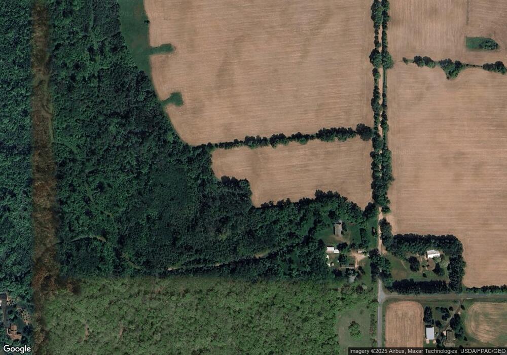
Map
Nearby Homes
- TBD 47th St
- 496 149th Ave
- 487 146th Ave
- 339 144th Ave
- 342 144th Ave
- 1397 Fox Ridge Trail
- 1393 Fox Ridge Trail
- 375 Lot #10 172nd Ave
- 372 Lot #9 172nd Ave
- 371 Lot #11 172nd Ave
- 1730 42nd St
- 543 Homestead Trail
- xxx Lot 2 38th St
- 329 138th Ave
- 317 138th Ave
- 1432 25th St
- 415 Bruce Larson Way
- 406 134th Ave
- 1395 25th St
- 10 Acres Highland View