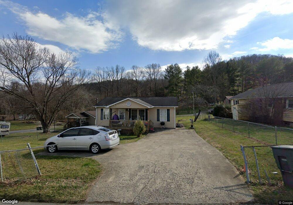
1559 Southside Rd Elizabethton, TN 37643
Estimated Value: $180,000 - $220,000
3
Beds
1
Bath
864
Sq Ft
$222/Sq Ft
Est. Value
About This Home
This home is located at 1559 Southside Rd, Elizabethton, TN 37643 and is currently estimated at $191,453, approximately $221 per square foot. 1559 Southside Rd is a home located in Carter County with nearby schools including Elizabethton High School and East Tn Christian Home & Academy.
Ownership History
Date
Name
Owned For
Owner Type
Purchase Details
Closed on
Dec 19, 2013
Sold by
Sams Robert L
Bought by
Sams Robert Lewis and Sams Robert Lewis Living Trust
Current Estimated Value
Purchase Details
Closed on
Jul 26, 2013
Sold by
Mclaughlin Mary
Bought by
Sams Robert L and Outland Amy
Purchase Details
Closed on
Aug 20, 2003
Sold by
Eastern Eight Community De
Bought by
Mclaughlin Mary
Home Financials for this Owner
Home Financials are based on the most recent Mortgage that was taken out on this home.
Original Mortgage
$37,994
Interest Rate
5.94%
Purchase Details
Closed on
Sep 26, 2001
Bought by
Eastern Eight Com Dev Cor
Purchase Details
Closed on
Jul 23, 2001
Bought by
Appalachia Service Project
Create a Home Valuation Report for This Property
The Home Valuation Report is an in-depth analysis detailing your home's value as well as a comparison with similar homes in the area
Home Values in the Area
Average Home Value in this Area
Purchase History
| Date | Buyer | Sale Price | Title Company |
|---|---|---|---|
| Sams Robert Lewis | -- | -- | |
| Sams Robert L | $31,707 | -- | |
| Mclaughlin Mary | $64,525 | -- | |
| Eastern Eight Com Dev Cor | $11,300 | -- | |
| Appalachia Service Project | $11,300 | -- |
Source: Public Records
Mortgage History
| Date | Status | Borrower | Loan Amount |
|---|---|---|---|
| Previous Owner | Appalachia Service Project | $37,994 |
Source: Public Records
Tax History Compared to Growth
Tax History
| Year | Tax Paid | Tax Assessment Tax Assessment Total Assessment is a certain percentage of the fair market value that is determined by local assessors to be the total taxable value of land and additions on the property. | Land | Improvement |
|---|---|---|---|---|
| 2024 | $770 | $23,350 | $7,500 | $15,850 |
| 2023 | $770 | $23,350 | $0 | $0 |
| 2022 | $841 | $23,350 | $7,500 | $15,850 |
| 2021 | $474 | $23,350 | $7,500 | $15,850 |
| 2020 | $780 | $23,350 | $7,500 | $15,850 |
| 2019 | $780 | $18,050 | $4,125 | $13,925 |
| 2018 | $769 | $18,050 | $4,125 | $13,925 |
| 2017 | $769 | $18,050 | $4,125 | $13,925 |
| 2016 | $765 | $18,050 | $4,125 | $13,925 |
| 2015 | $767 | $18,050 | $4,125 | $13,925 |
| 2014 | $816 | $19,100 | $4,125 | $14,975 |
Source: Public Records
Map
Nearby Homes
- 720 Dugger Rd
- 304 Ridgecrest Dr
- 201 Ridgecrest Dr
- Tbd Tank Rd
- 404 Allen Ave
- 1728 Charlotte Dr
- 604 Parkway Blvd
- 722 S Watauga Ave
- 1735 Charlotte Dr
- 1821 Woodhaven Dr
- 511 S Watauga Ave
- 1005 S 2nd St
- 604 Trudy St
- 612 S Lynn Ave
- 503 Florence St
- 705 Holston Ave
- 1411 W G St
- 304 E H St
- 116 E G St
- 1903 W G St
- 104 Sneed Hill Rd
- 1561 Southside Rd
- 1560 Southside Rd
- 1565 Southside Rd
- 1553 Southside Rd
- 1548 S Side Rd
- 108 Sneed Hill Rd
- 1566 Southside Rd
- 1541 Southside Rd
- 1544 Southside Rd
- 1571 Southside Rd
- 1570 Southside Rd
- 1552 Southside Rd
- 122 Sneed Hill Rd
- 117 Sneed Hill Rd
- 124 Sneed Hill Rd
- 1539 Southside Rd
- 1576 Southside Rd
- 128 Sneed Hill Rd
- 1532 Southside Rd