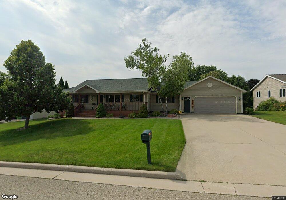
1565 Pine Ridge Ct Unit 1565 Mayville, WI 53050
Estimated Value: $396,000 - $457,000
3
Beds
3
Baths
2,909
Sq Ft
$143/Sq Ft
Est. Value
About This Home
This home is located at 1565 Pine Ridge Ct Unit 1565, Mayville, WI 53050 and is currently estimated at $415,539, approximately $142 per square foot. 1565 Pine Ridge Ct Unit 1565 is a home located in Dodge County with nearby schools including Parkview Elementary School, Mayville Elementary School, and Mayville Junior/Senior High School.
Ownership History
Date
Name
Owned For
Owner Type
Purchase Details
Closed on
Sep 8, 2025
Sold by
Gross Pamela L
Bought by
Gross Pamela L and Gross Frank J
Current Estimated Value
Purchase Details
Closed on
Oct 6, 2022
Sold by
Benter Gary D and Benter Laurie M
Bought by
Retzlaff James M and Retzlaff Diane C
Home Financials for this Owner
Home Financials are based on the most recent Mortgage that was taken out on this home.
Original Mortgage
$251,000
Interest Rate
5.55%
Mortgage Type
Balloon
Create a Home Valuation Report for This Property
The Home Valuation Report is an in-depth analysis detailing your home's value as well as a comparison with similar homes in the area
Home Values in the Area
Average Home Value in this Area
Purchase History
| Date | Buyer | Sale Price | Title Company |
|---|---|---|---|
| Gross Pamela L | -- | None Listed On Document | |
| Retzlaff James M | $316,000 | -- |
Source: Public Records
Mortgage History
| Date | Status | Borrower | Loan Amount |
|---|---|---|---|
| Previous Owner | Retzlaff James M | $251,000 |
Source: Public Records
Tax History Compared to Growth
Tax History
| Year | Tax Paid | Tax Assessment Tax Assessment Total Assessment is a certain percentage of the fair market value that is determined by local assessors to be the total taxable value of land and additions on the property. | Land | Improvement |
|---|---|---|---|---|
| 2024 | $5,184 | $321,200 | $38,500 | $282,700 |
| 2023 | $5,053 | $321,200 | $38,500 | $282,700 |
| 2022 | $4,861 | $317,700 | $38,500 | $279,200 |
| 2021 | $4,284 | $191,000 | $37,500 | $153,500 |
| 2020 | $4,442 | $191,000 | $37,500 | $153,500 |
| 2019 | $4,388 | $191,000 | $37,500 | $153,500 |
| 2018 | $4,400 | $191,000 | $37,500 | $153,500 |
| 2017 | $4,470 | $191,000 | $37,500 | $153,500 |
| 2016 | $4,123 | $191,000 | $37,500 | $153,500 |
| 2015 | $4,519 | $191,000 | $37,500 | $153,500 |
| 2014 | $4,663 | $191,000 | $37,500 | $153,500 |
Source: Public Records
Map
Nearby Homes
- 318 Brookside Dr Unit 1
- 326 Brookside Dr Unit 6
- 1155 Breckenridge St
- 329 Grove St
- Lt2 S Clark St
- 274 S Walnut St
- 117 Taylor St
- 502 Janssen Ave
- 725 Green Bay Dr
- Lt1 Hi View Ct
- N9234 Dohrman Rd
- W4069 Raasch Hill Rd
- 401 N Hubbard St
- 300 Birchcrest Rd
- 406 N Hubbard St
- 101 Valley St
- 121 Juneau St
- 5.06 acres County Rd E
- N6436 County Road Tw
- N10035 N Bluemound Rd
- 1565 Pineridge Ct
- 1565 Pine Ridge Ct
- 1565 Pine
- 1591 Pineridge Ct
- 1537 Pineridge Ct
- 1590 Dayton St
- 1627 Pineridge Ct
- 1566 Pineridge Ct
- 201 Brookside Dr
- 1620 Dayton St
- 1538 Pineridge Ct
- 1594 Pineridge Ct
- 1622 Dayton St
- 1628 Pineridge Ct
- 236 Brookside Dr Unit 1
- 236 Brookside Dr
- 248 Brookside Dr
- 234 Brookside Dr
- 250 Brookside Dr
- 1652 Dayton St