1571 Alanson Dr Deland, FL 32724
Estimated Value: $599,000 - $607,000
4
Beds
2
Baths
2,890
Sq Ft
$208/Sq Ft
Est. Value
About This Home
This home is located at 1571 Alanson Dr, Deland, FL 32724 and is currently estimated at $602,228, approximately $208 per square foot. 1571 Alanson Dr is a home located in Volusia County with nearby schools including Freedom Elementary School, Deland High School, and Deland Middle School.
Ownership History
Date
Name
Owned For
Owner Type
Purchase Details
Closed on
Jun 17, 1993
Sold by
Home Sav Amer F S B
Bought by
Peace Frederick C and Peace Susan P
Current Estimated Value
Home Financials for this Owner
Home Financials are based on the most recent Mortgage that was taken out on this home.
Original Mortgage
$80,500
Interest Rate
7.42%
Purchase Details
Closed on
Feb 15, 1993
Bought by
Peace Frederick C and Peace Susan P
Purchase Details
Closed on
Mar 15, 1989
Bought by
Peace Frederick C and Peace Susan P
Purchase Details
Closed on
Mar 15, 1988
Bought by
Peace Frederick C and Peace Susan P
Purchase Details
Closed on
Dec 15, 1987
Bought by
Peace Frederick C and Peace Susan P
Create a Home Valuation Report for This Property
The Home Valuation Report is an in-depth analysis detailing your home's value as well as a comparison with similar homes in the area
Home Values in the Area
Average Home Value in this Area
Purchase History
| Date | Buyer | Sale Price | Title Company |
|---|---|---|---|
| Peace Frederick C | $162,500 | -- | |
| Peace Frederick C | $99,100 | -- | |
| Peace Frederick C | $100 | -- | |
| Peace Frederick C | $165,000 | -- | |
| Peace Frederick C | $100 | -- |
Source: Public Records
Mortgage History
| Date | Status | Borrower | Loan Amount |
|---|---|---|---|
| Closed | Peace Frederick C | $80,500 |
Source: Public Records
Tax History Compared to Growth
Tax History
| Year | Tax Paid | Tax Assessment Tax Assessment Total Assessment is a certain percentage of the fair market value that is determined by local assessors to be the total taxable value of land and additions on the property. | Land | Improvement |
|---|---|---|---|---|
| 2025 | $4,500 | $291,562 | -- | -- |
| 2024 | $4,500 | $283,345 | -- | -- |
| 2023 | $4,500 | $275,093 | $0 | $0 |
| 2022 | $4,428 | $267,081 | $0 | $0 |
| 2021 | $4,604 | $259,302 | $0 | $0 |
| 2020 | $4,542 | $255,722 | $0 | $0 |
| 2019 | $4,704 | $249,973 | $0 | $0 |
| 2018 | $4,708 | $245,312 | $0 | $0 |
| 2017 | $4,738 | $240,266 | $0 | $0 |
| 2016 | $3,911 | $207,152 | $0 | $0 |
| 2015 | $3,991 | $205,712 | $0 | $0 |
| 2014 | $3,951 | $204,079 | $0 | $0 |
Source: Public Records
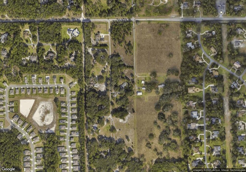
Map
Nearby Homes
- 1741 Alanson Dr
- 1660 Timber Edge Dr
- 1621 Timber Hills Dr
- 1020 Orange Camp Rd
- 0000 Roos Ln
- 316 Nowell Loop
- 493 Nowell Loop
- 1545 Covered Bridge Dr
- 1204 Victoria Hills Dr N
- 1155 Victoria Hills Dr N
- 462 Briarbrook Way
- 406 Ridgeway Blvd
- 1440 Arroyo Vista Dr
- 548 Adenmore Terrace
- 220 Brookgreen Way
- 560 Adenmore Terrace
- 218 Wellington Woods Ave
- 107 Littleton Cir
- 204 Wellington Woods Ave
- 810 E Yorkshire Dr
- 1640 Alanson Dr
- 1644 Alanson Dr
- 1690 Alanson Dr
- 1025 Orange Camp Rd
- 1708 Alanson Dr
- 353 Nowell Loop
- 349 Nowell Loop
- 361 Nowell Loop
- 357 Nowell Loop
- 369 Nowell Loop
- 365 Nowell Loop
- 881 Braemar Ln
- 1630 Alanson Dr
- 373 Nowell Loop
- 352 Nowell Loop
- 345 Nowell Loop
- 358 Nowell Loop
- 377 Nowell Loop
- 362 Nowell Loop
- 348 Nowell Loop