1576 Charlie Davis Rd Cornelia, GA 30531
Estimated Value: $243,000 - $253,907
2
Beds
1
Bath
1,188
Sq Ft
$209/Sq Ft
Est. Value
About This Home
This home is located at 1576 Charlie Davis Rd, Cornelia, GA 30531 and is currently estimated at $248,727, approximately $209 per square foot. 1576 Charlie Davis Rd is a home located in Habersham County with nearby schools including Level Grove Elementary School, South Habersham Middle School, and Habersham Success Academy.
Ownership History
Date
Name
Owned For
Owner Type
Purchase Details
Closed on
Dec 5, 2019
Sold by
Brown Aubrey L
Bought by
Tiffany Grace
Current Estimated Value
Home Financials for this Owner
Home Financials are based on the most recent Mortgage that was taken out on this home.
Original Mortgage
$129,731
Outstanding Balance
$116,550
Interest Rate
4.62%
Mortgage Type
FHA
Estimated Equity
$132,177
Create a Home Valuation Report for This Property
The Home Valuation Report is an in-depth analysis detailing your home's value as well as a comparison with similar homes in the area
Home Values in the Area
Average Home Value in this Area
Purchase History
| Date | Buyer | Sale Price | Title Company |
|---|---|---|---|
| Tiffany Grace | $150,000 | -- |
Source: Public Records
Mortgage History
| Date | Status | Borrower | Loan Amount |
|---|---|---|---|
| Open | Tiffany Grace | $129,731 |
Source: Public Records
Tax History Compared to Growth
Tax History
| Year | Tax Paid | Tax Assessment Tax Assessment Total Assessment is a certain percentage of the fair market value that is determined by local assessors to be the total taxable value of land and additions on the property. | Land | Improvement |
|---|---|---|---|---|
| 2025 | $430 | $91,071 | $13,300 | $77,771 |
| 2024 | -- | $78,396 | $10,320 | $68,076 |
| 2023 | $609 | $66,572 | $10,320 | $56,252 |
| 2022 | $933 | $53,812 | $5,592 | $48,220 |
| 2021 | $877 | $48,568 | $5,592 | $42,976 |
| 2020 | $826 | $42,496 | $5,592 | $36,904 |
| 2019 | $947 | $37,084 | $5,592 | $31,492 |
| 2018 | $940 | $37,084 | $5,592 | $31,492 |
| 2017 | $838 | $33,116 | $4,300 | $28,816 |
| 2016 | $796 | $81,340 | $3,720 | $28,816 |
| 2015 | $787 | $81,340 | $3,720 | $28,816 |
| 2014 | $784 | $79,670 | $3,720 | $28,148 |
| 2013 | -- | $32,240 | $4,092 | $28,148 |
Source: Public Records
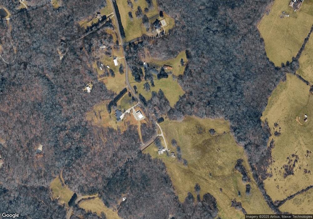
Map
Nearby Homes
- 324 Highland Pointe Dr
- 0 Hubert Harris
- 752 Dawn Place
- 0 State Route 365 Unit 10496178
- 0 State Route 365 Unit 10496183
- 429 Hubert Harris Rd
- 140 Highland Pointe Dr
- 255 Laurel Place Dr
- 240 Woodmont Dr
- 450 Beachwood Dr
- 434 Beachwood Dr
- 335 Laurel Place Dr
- 1246 Duncan Bridge Rd
- 190 Sunset Oaks Dr
- 179 Sunset Oaks Dr
- 1307 Creasy Patch Rd
- 738 Wilbanks Rd
- 3568 State Route 365
- 212 Fernbank Dr
- J Warren
- 0 Parker Point Unit 20079723
- 0 Parker Point Unit 20091700
- 0 Parker Point Unit 20097078
- 0 Parker Point Unit LOT 5 20159909
- LOT 1 Parker Point
- 0 Parker Point Unit LOT 5 20148345
- 0 Parker Point Unit LOT 5 20142168
- 0 Parker Point Unit LOT 4 20137278
- 0 Parker Point Unit LOT 5 20135865
- 0 Parker Point Unit LOT 5 20129471
- 0 Parker Point Unit LOT 6 20124213
- 0 Parker Point Unit LOT 3 20123128
- 0 Parker Point Unit LOT 5 20123125
- 0 Parker Point Unit LOT 3 20116462
- 0 Parker Point Unit LOT 5 20116461
- 0 Parker Point Unit LOT 8 20110619
- 0 Parker Point Unit LOT 3 20109945
- 0 Parker Point Unit LOT 5 20109943
- 0 Parker Point Unit LOT 3 20103672
- 0 Parker Point Unit LOT 4 20103671