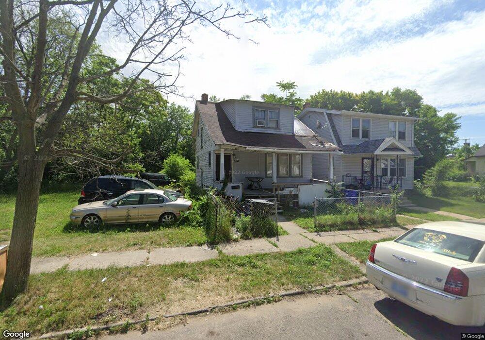
15768 Lawton St Detroit, MI 48238
Pilgrim Village NeighborhoodEstimated Value: $53,137 - $74,000
--
Bed
2
Baths
1,018
Sq Ft
$62/Sq Ft
Est. Value
About This Home
This home is located at 15768 Lawton St, Detroit, MI 48238 and is currently estimated at $63,284, approximately $62 per square foot. 15768 Lawton St is a home located in Wayne County with nearby schools including Paul Robeson Malcolm X Academy, Charles L. Spain Elementary-Middle School, and Edward 'Duke' Ellington Conservatory of Music and Art.
Ownership History
Date
Name
Owned For
Owner Type
Purchase Details
Closed on
Apr 27, 2017
Sold by
The Detroit Land Bank Authority
Bought by
Jones Christopher Dale
Current Estimated Value
Purchase Details
Closed on
Jan 13, 2016
Sold by
Wayne County Treasurer
Bought by
Detroit Land Bank Authority
Purchase Details
Closed on
Jun 22, 2004
Sold by
Allied Realty & Investment
Bought by
Chris James & Associates Inc
Create a Home Valuation Report for This Property
The Home Valuation Report is an in-depth analysis detailing your home's value as well as a comparison with similar homes in the area
Home Values in the Area
Average Home Value in this Area
Purchase History
| Date | Buyer | Sale Price | Title Company |
|---|---|---|---|
| Jones Christopher Dale | $1,000 | None Available | |
| Detroit Land Bank Authority | -- | None Available | |
| Chris James & Associates Inc | $20,000 | -- |
Source: Public Records
Tax History Compared to Growth
Tax History
| Year | Tax Paid | Tax Assessment Tax Assessment Total Assessment is a certain percentage of the fair market value that is determined by local assessors to be the total taxable value of land and additions on the property. | Land | Improvement |
|---|---|---|---|---|
| 2025 | $722 | $25,400 | $0 | $0 |
| 2024 | $722 | $20,800 | $0 | $0 |
| 2023 | $699 | $16,300 | $0 | $0 |
| 2022 | $737 | $12,700 | $0 | $0 |
| 2021 | $720 | $9,700 | $0 | $0 |
| 2020 | $720 | $8,300 | $0 | $0 |
| 2019 | $711 | $5,490 | $0 | $0 |
| 2018 | $546 | $5,200 | $0 | $0 |
| 2017 | $430 | $0 | $0 | $0 |
| 2016 | $340 | $0 | $0 | $0 |
| 2015 | $430 | $4,300 | $0 | $0 |
| 2013 | $541 | $5,408 | $0 | $0 |
| 2010 | -- | $7,172 | $416 | $6,756 |
Source: Public Records
Map
Nearby Homes
- 15580 Linwood St
- 15840 Lawton St
- 15845 Normandy St
- 15656 Normandy St
- 15572 Normandy St
- 15810 Normandy St
- 15836 Normandy St
- 15525 La Salle Blvd
- 15798 Muirland St
- 16125 Linwood St
- 16133 Princeton St
- 15360 Normandy St
- 15877 Baylis St
- 15904 Muirland St
- 15822 Fairfield St
- 15856 Baylis St
- 15751 Fairfield St
- 16182 Princeton St
- 16162 Normandy St
- 16200 Lawton St
- 15762 Lawton St
- 15774 Lawton St
- 15756 Lawton St
- 15752 Lawton St
- 15763 Princeton St
- 15781 Princeton St
- 15751 Princeton St
- 15769 Lawton St
- 15738 Lawton St
- 15763 Lawton St
- 15775 Lawton St
- 15757 Lawton St
- 15781 Lawton St
- 15801 Princeton St
- 15751 Lawton St
- 15787 Lawton St
- 15732 Lawton St
- 15739 Princeton St
- 15745 Lawton St
- 15793 Lawton St