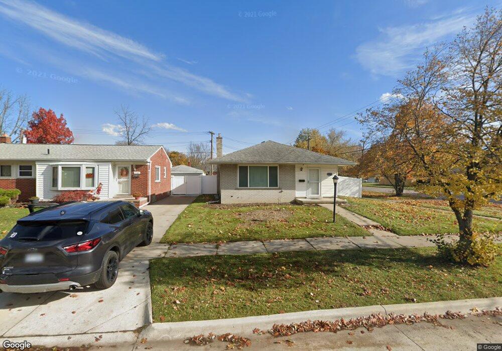
15775 Poplar St Unit Bldg-Unit Southgate, MI 48195
Estimated Value: $202,790 - $226,000
--
Bed
2
Baths
1,026
Sq Ft
$210/Sq Ft
Est. Value
About This Home
This home is located at 15775 Poplar St Unit Bldg-Unit, Southgate, MI 48195 and is currently estimated at $215,448, approximately $209 per square foot. 15775 Poplar St Unit Bldg-Unit is a home located in Wayne County with nearby schools including Allen Elementary School, Davidson Middle School, and Southgate Anderson High School.
Ownership History
Date
Name
Owned For
Owner Type
Purchase Details
Closed on
Aug 20, 2018
Sold by
Martel Nicole M
Bought by
Bo Christina
Current Estimated Value
Home Financials for this Owner
Home Financials are based on the most recent Mortgage that was taken out on this home.
Original Mortgage
$104,900
Outstanding Balance
$91,101
Interest Rate
4.5%
Mortgage Type
New Conventional
Estimated Equity
$124,347
Purchase Details
Closed on
May 4, 2018
Sold by
Malinak William Frank
Bought by
Martel Nicole M
Purchase Details
Closed on
Feb 29, 2016
Sold by
Malinak William Frank and Malinak June Marilyn
Bought by
Malinak William Frank and Malinak William Frank
Create a Home Valuation Report for This Property
The Home Valuation Report is an in-depth analysis detailing your home's value as well as a comparison with similar homes in the area
Home Values in the Area
Average Home Value in this Area
Purchase History
| Date | Buyer | Sale Price | Title Company |
|---|---|---|---|
| Bo Christina | $134,900 | First American Title | |
| Martel Nicole M | $85,000 | First American Title | |
| Malinak William Frank | -- | Attorney |
Source: Public Records
Mortgage History
| Date | Status | Borrower | Loan Amount |
|---|---|---|---|
| Open | Bo Christina | $104,900 |
Source: Public Records
Tax History Compared to Growth
Tax History
| Year | Tax Paid | Tax Assessment Tax Assessment Total Assessment is a certain percentage of the fair market value that is determined by local assessors to be the total taxable value of land and additions on the property. | Land | Improvement |
|---|---|---|---|---|
| 2025 | $2,833 | $85,600 | $0 | $0 |
| 2024 | $2,833 | $77,800 | $0 | $0 |
| 2023 | $2,704 | $71,700 | $0 | $0 |
| 2022 | $3,133 | $65,400 | $0 | $0 |
| 2021 | $3,049 | $59,500 | $0 | $0 |
| 2020 | $2,997 | $54,100 | $0 | $0 |
| 2019 | $2,960 | $50,400 | $0 | $0 |
| 2018 | $1,678 | $45,400 | $0 | $0 |
| 2017 | $989 | $42,700 | $0 | $0 |
| 2016 | $2,035 | $40,000 | $0 | $0 |
| 2015 | $3,510 | $37,600 | $0 | $0 |
| 2013 | $3,400 | $34,700 | $0 | $0 |
| 2012 | $1,465 | $33,100 | $7,600 | $25,500 |
Source: Public Records
Map
Nearby Homes
- 15646 Cynthia St
- 15742 Kennebec St
- 15464 Mulberry St
- 15426 Poplar St
- 15761 Richmond St
- 16287 Windermere Cir
- 15711 Richmond St
- 15413 Kennebec St
- 15481 Drake St
- 15755 Cameron St
- 15231 Windemere St
- 13815 Spruce St
- 16047 Mccann St
- 15649 Churchill St
- 15335 Mccann St
- 13752 Peach St
- 16612 Drake St
- 16672 Drake St
- 16787 Townley St
- 0000 Pennsylvania Ave
- 15775 Poplar St
- 15765 Poplar St
- 14560 Leroy St
- 15755 Poplar St
- 15745 Poplar St
- 16009 Poplar St
- 15776 Poplar St
- 15766 Poplar St
- 15760 Fordline St
- 15748 Fordline St
- 15735 Poplar St
- 15756 Poplar St
- 15746 Poplar St
- 15780 Fordline St
- 15725 Poplar St
- 15736 Fordline St
- 15736 Poplar St
- 16008 Poplar St
- 15728 Fordline St
- 16037 Poplar St