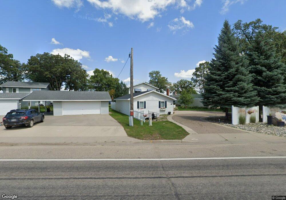
1578 W Lake Dr Detroit Lakes, MN 56501
Estimated Value: $744,000 - $999,000
3
Beds
3
Baths
1,890
Sq Ft
$477/Sq Ft
Est. Value
About This Home
This home is located at 1578 W Lake Dr, Detroit Lakes, MN 56501 and is currently estimated at $900,701, approximately $476 per square foot. 1578 W Lake Dr is a home with nearby schools including Detroit Lakes Senior High School, Holy Rosary, and Holy Rosary Catholic School.
Ownership History
Date
Name
Owned For
Owner Type
Purchase Details
Closed on
Aug 29, 2014
Sold by
Sawaya Larry H and Sawaya Carol A
Bought by
Thorson Thomas R and Thorson Patricia L
Current Estimated Value
Home Financials for this Owner
Home Financials are based on the most recent Mortgage that was taken out on this home.
Original Mortgage
$405,000
Outstanding Balance
$309,595
Interest Rate
4.1%
Mortgage Type
Purchase Money Mortgage
Estimated Equity
$591,106
Create a Home Valuation Report for This Property
The Home Valuation Report is an in-depth analysis detailing your home's value as well as a comparison with similar homes in the area
Home Values in the Area
Average Home Value in this Area
Purchase History
| Date | Buyer | Sale Price | Title Company |
|---|---|---|---|
| Thorson Thomas R | $450,000 | Trn Abstract & Title |
Source: Public Records
Mortgage History
| Date | Status | Borrower | Loan Amount |
|---|---|---|---|
| Open | Thorson Thomas R | $405,000 |
Source: Public Records
Tax History Compared to Growth
Tax History
| Year | Tax Paid | Tax Assessment Tax Assessment Total Assessment is a certain percentage of the fair market value that is determined by local assessors to be the total taxable value of land and additions on the property. | Land | Improvement |
|---|---|---|---|---|
| 2025 | $9,666 | $910,100 | $436,000 | $474,100 |
| 2024 | $8,380 | $787,700 | $383,000 | $404,700 |
| 2023 | $8,380 | $602,100 | $298,400 | $303,700 |
| 2022 | $6,990 | $578,500 | $298,400 | $280,100 |
| 2021 | $6,842 | $570,600 | $284,000 | $286,600 |
| 2020 | $6,462 | $570,600 | $284,000 | $286,600 |
| 2019 | $6,504 | $539,300 | $277,800 | $261,500 |
| 2018 | $5,436 | $521,600 | $277,800 | $243,800 |
| 2017 | $4,980 | $488,100 | $231,800 | $256,300 |
| 2016 | $4,470 | $429,800 | $231,800 | $198,000 |
| 2015 | $4,336 | $377,000 | $223,300 | $153,700 |
| 2014 | -- | $337,900 | $203,000 | $134,900 |
Source: Public Records
Map
Nearby Homes
- 1540 Us Highway 59
- 1841 Kemberidge Rd
- 1 Branch Creek Rd
- 1836 Bridgeview Blvd
- 24 Branch Creek Rd
- Lots 5 & 6 Branch Creek Rd
- 248 Shorewood Dr
- 18 Branch Creek Rd
- 21 Branch Creek Rd
- 25395 County Highway 6
- 1986 Long Bridge Rd
- 1278 Bay Ridge Dr
- 324 Shorewood Cir
- 1104 W Lake Dr Unit 5
- 1084 W Lake Dr
- 1127 Doris Kohler Cir
- 2136 Shady Ln
- 2131 Memory Ln
- 1228 Kenneth St
- 1514 Willard Ave
- 1576 W Lake Dr
- 1590 W Lake Dr
- 1574 W Lake Dr
- 1572 W Lake Dr
- 1594 Long Bridge Rd
- 1478 W Lake Dr
- 1575 W Lake Dr
- 1462 W Lake Dr
- 1600 Long Bridge Rd
- 1800 Heritage Dr
- 1804 Heritage Dr
- 1814 Celia St
- 1612 Long Bridge Rd
- 1818 Celia St
- 1803 Heritage Dr
- 1808 Heritage Dr
- 1616 Long Bridge Rd
- 1822 Celia St
- 1816 Heritage Dr
- 1540 Us Highway 59 Unit LOT 23