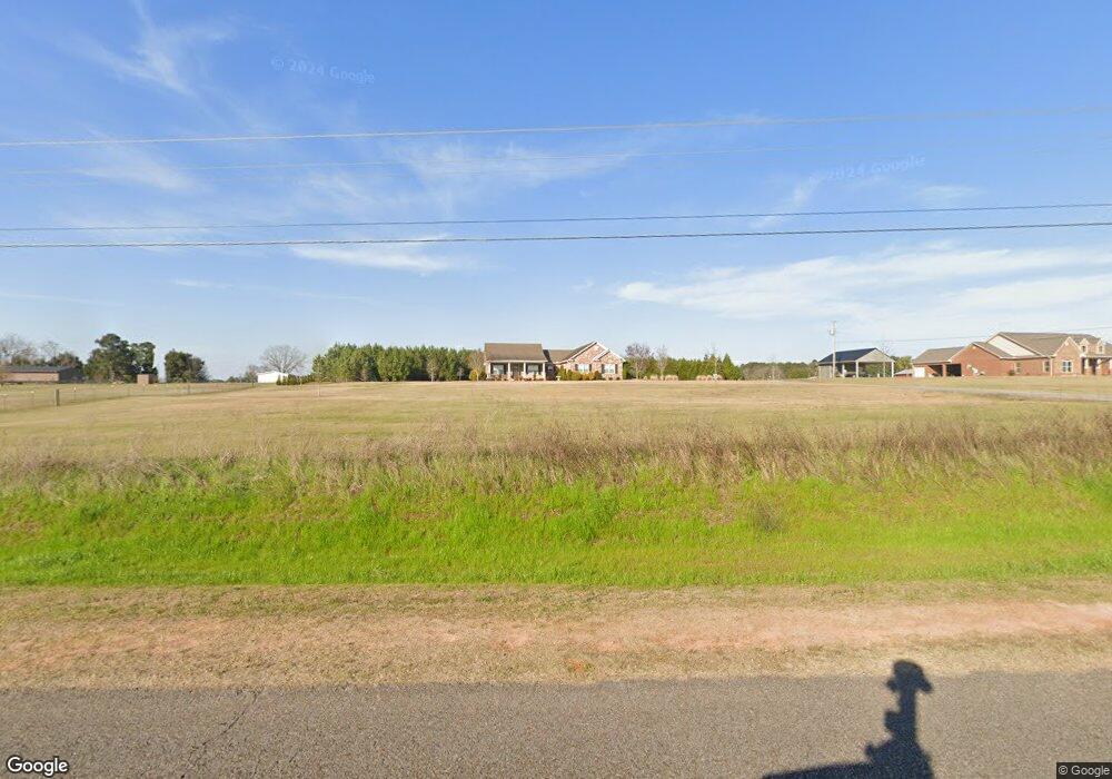
1582 County Road 610 Enterprise, AL 36330
Estimated Value: $392,000 - $449,786
--
Bed
1
Bath
2,270
Sq Ft
$189/Sq Ft
Est. Value
About This Home
This home is located at 1582 County Road 610, Enterprise, AL 36330 and is currently estimated at $427,929, approximately $188 per square foot. 1582 County Road 610 is a home with nearby schools including New Brockton Elementary School and New Brockton High School.
Ownership History
Date
Name
Owned For
Owner Type
Purchase Details
Closed on
Jun 22, 2015
Sold by
Watson Max and Max E Watson Construction
Bought by
Richburg Robert K and Richburg Lara K
Current Estimated Value
Home Financials for this Owner
Home Financials are based on the most recent Mortgage that was taken out on this home.
Original Mortgage
$331,593
Outstanding Balance
$258,104
Interest Rate
3.89%
Mortgage Type
Purchase Money Mortgage
Estimated Equity
$169,825
Purchase Details
Closed on
Oct 28, 2014
Sold by
Arnette Loyd and Arnett Watson
Bought by
Watson Max and Max E Watson Construction
Create a Home Valuation Report for This Property
The Home Valuation Report is an in-depth analysis detailing your home's value as well as a comparison with similar homes in the area
Home Values in the Area
Average Home Value in this Area
Purchase History
| Date | Buyer | Sale Price | Title Company |
|---|---|---|---|
| Richburg Robert K | $350,000 | -- | |
| Watson Max | $45,000 | -- |
Source: Public Records
Mortgage History
| Date | Status | Borrower | Loan Amount |
|---|---|---|---|
| Open | Richburg Robert K | $331,593 |
Source: Public Records
Tax History Compared to Growth
Tax History
| Year | Tax Paid | Tax Assessment Tax Assessment Total Assessment is a certain percentage of the fair market value that is determined by local assessors to be the total taxable value of land and additions on the property. | Land | Improvement |
|---|---|---|---|---|
| 2024 | -- | $38,960 | $4,935 | $34,025 |
| 2023 | $1,215 | $32,522 | $4,801 | $27,721 |
| 2022 | $1,090 | $32,560 | $0 | $0 |
| 2021 | $993 | $29,700 | $0 | $0 |
| 2020 | $989 | $29,580 | $0 | $0 |
| 2019 | $996 | $29,800 | $0 | $0 |
| 2018 | $956 | $28,620 | $0 | $0 |
| 2017 | $959 | $28,700 | $0 | $0 |
| 2016 | $931 | $27,880 | $0 | $0 |
| 2015 | $11 | $320 | $0 | $0 |
| 2014 | $11 | $320 | $0 | $0 |
| 2013 | $131 | $0 | $0 | $0 |
Source: Public Records
Map
Nearby Homes
- 104 Hand Ln
- 104 Conneway Ct
- 239 County Road 622
- BEAUMONT Plan at Townes at Crosswinds
- ROANOKE Plan at Townes at Crosswinds
- CABOT Plan at Townes at Crosswinds
- 120 Kitty Hawk Loop
- 119 Kitty Hawk Loop
- 115 Kitty Hawk Loop
- 124 Kitty Hawk Loop
- 200 Kitty Hawk Loop
- 126 Kitty Hawk Loop
- 118 Kitty Hawk Loop
- 117 Kitty Hawk Loop
- 128 Kitty Hawk Loop
- 116 Kitty Hawk Loop
- 1558 County Road 610
- 165 County Road 621
- 1502 County Road 610
- 1648 County Road 610
- 1657 County Road 610
- 1657 County Road 610
- 1788 County Road 610
- 81 County Road 621
- 1411 County Road 610
- 1834 County Road 610
- 1392 County Road 610
- 103 Conneway Ct
- 202 Conneway Ct
- 200 Conneway Ct
- 106 Conneway Ct
- 100 Hand Ln
- 1335 County Road 610
- 1864 County Road 610
- 1883 County Road 610
- 1310 County Road 610