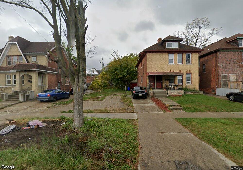
15851 Linwood St Detroit, MI 48238
Pilgrim Village NeighborhoodEstimated Value: $16,000 - $201,000
--
Bed
2
Baths
2,510
Sq Ft
$45/Sq Ft
Est. Value
About This Home
This home is located at 15851 Linwood St, Detroit, MI 48238 and is currently estimated at $114,000, approximately $45 per square foot. 15851 Linwood St is a home located in Wayne County with nearby schools including Paul Robeson Malcolm X Academy, Charles L. Spain Elementary-Middle School, and Edward 'Duke' Ellington Conservatory of Music and Art.
Ownership History
Date
Name
Owned For
Owner Type
Purchase Details
Closed on
Nov 30, 2022
Sold by
Pollard Russ Lamont
Bought by
Cook Eva
Current Estimated Value
Purchase Details
Closed on
Oct 27, 2017
Sold by
The Detroit Land Bank Authority
Bought by
Pollard Russ
Purchase Details
Closed on
Jan 23, 2014
Sold by
Wayne County Treasurer
Bought by
Detroit Landbank Authority
Purchase Details
Closed on
Oct 24, 2001
Sold by
Watkins Danny R
Bought by
Watkins Patricia
Purchase Details
Closed on
Aug 2, 1994
Sold by
Hurley James
Bought by
Watkins Danny
Create a Home Valuation Report for This Property
The Home Valuation Report is an in-depth analysis detailing your home's value as well as a comparison with similar homes in the area
Home Values in the Area
Average Home Value in this Area
Purchase History
| Date | Buyer | Sale Price | Title Company |
|---|---|---|---|
| Cook Eva | -- | None Listed On Document | |
| Cook Eva | -- | None Listed On Document | |
| Pollard Russ | -- | None Available | |
| Detroit Landbank Authority | -- | None Available | |
| Watkins Patricia | -- | -- | |
| Watkins Danny | $11,000 | -- |
Source: Public Records
Tax History Compared to Growth
Tax History
| Year | Tax Paid | Tax Assessment Tax Assessment Total Assessment is a certain percentage of the fair market value that is determined by local assessors to be the total taxable value of land and additions on the property. | Land | Improvement |
|---|---|---|---|---|
| 2025 | $30 | $1,600 | $0 | $0 |
| 2024 | $30 | $400 | $0 | $0 |
| 2023 | $31 | $400 | $0 | $0 |
| 2022 | $35 | $400 | $0 | $0 |
| 2021 | $35 | $400 | $0 | $0 |
| 2020 | $35 | $400 | $0 | $0 |
| 2019 | $0 | $0 | $0 | $0 |
| 2018 | $0 | $0 | $0 | $0 |
| 2017 | $921 | $0 | $0 | $0 |
| 2016 | $921 | $0 | $0 | $0 |
| 2015 | $921 | $0 | $0 | $0 |
| 2013 | $921 | $9,213 | $0 | $0 |
| 2010 | -- | $12,217 | $531 | $11,686 |
Source: Public Records
Map
Nearby Homes
- 15845 Normandy St
- 15840 Lawton St
- 15836 Normandy St
- 15810 Normandy St
- 15656 Normandy St
- 15580 Linwood St
- 16133 Princeton St
- 15572 Normandy St
- 15877 Baylis St
- 16182 Princeton St
- 15856 Baylis St
- 16200 Lawton St
- 15525 La Salle Blvd
- 16160 La Salle Ave
- 15798 Muirland St
- 15904 Muirland St
- 16139 Inverness St
- 16258 Parkside St
- 16239 Baylis St
- 15822 Fairfield St
- 15857 Linwood St
- 15843 Linwood St
- 15863 Linwood St
- 15837 Linwood St
- 15873 Linwood St
- 15840 Princeton St
- 15846 Princeton St
- 15831 Linwood St
- 15852 Princeton St
- 15832 Princeton St
- 15858 Princeton St
- 15877 Linwood St
- 15828 Princeton St
- 15823 Linwood St
- 15864 Princeton St
- 15822 Princeton St
- 15860 Linwood St Unit Upper Unit
- 15872 Princeton St
- 15816 Princeton St
- 15810 Princeton St