1587 Simerson Rd Linwood, NC 27299
Estimated Value: $202,000 - $343,338
3
Beds
2
Baths
3,173
Sq Ft
$85/Sq Ft
Est. Value
About This Home
This home is located at 1587 Simerson Rd, Linwood, NC 27299 and is currently estimated at $269,335, approximately $84 per square foot. 1587 Simerson Rd is a home located in Davidson County with nearby schools including Churchland Elementary School, Tyro Middle School, and West Davidson High School.
Ownership History
Date
Name
Owned For
Owner Type
Purchase Details
Closed on
Nov 24, 2009
Sold by
Hawks Cynthia L and Smith Cynthia L
Bought by
Smith Terry L and Smith Cynthia L
Current Estimated Value
Home Financials for this Owner
Home Financials are based on the most recent Mortgage that was taken out on this home.
Original Mortgage
$150,000
Interest Rate
4.98%
Mortgage Type
New Conventional
Purchase Details
Closed on
Oct 26, 2000
Bought by
Hawks Cynthia L
Create a Home Valuation Report for This Property
The Home Valuation Report is an in-depth analysis detailing your home's value as well as a comparison with similar homes in the area
Home Values in the Area
Average Home Value in this Area
Purchase History
| Date | Buyer | Sale Price | Title Company |
|---|---|---|---|
| Smith Terry L | -- | None Available | |
| Hawks Cynthia L | $41,500 | -- |
Source: Public Records
Mortgage History
| Date | Status | Borrower | Loan Amount |
|---|---|---|---|
| Closed | Smith Terry L | $150,000 |
Source: Public Records
Tax History Compared to Growth
Tax History
| Year | Tax Paid | Tax Assessment Tax Assessment Total Assessment is a certain percentage of the fair market value that is determined by local assessors to be the total taxable value of land and additions on the property. | Land | Improvement |
|---|---|---|---|---|
| 2025 | $1,400 | $225,540 | $0 | $0 |
| 2024 | $1,400 | $225,540 | $0 | $0 |
| 2023 | $1,374 | $218,040 | $0 | $0 |
| 2022 | $1,353 | $218,040 | $0 | $0 |
| 2021 | $1,353 | $218,040 | $0 | $0 |
| 2020 | $1,040 | $167,550 | $0 | $0 |
| 2019 | $1,056 | $167,550 | $0 | $0 |
| 2018 | $1,056 | $167,550 | $0 | $0 |
| 2017 | $1,056 | $167,550 | $0 | $0 |
| 2016 | $1,015 | $166,320 | $0 | $0 |
| 2015 | $1,015 | $166,320 | $0 | $0 |
| 2014 | $1,036 | $169,830 | $0 | $0 |
Source: Public Records
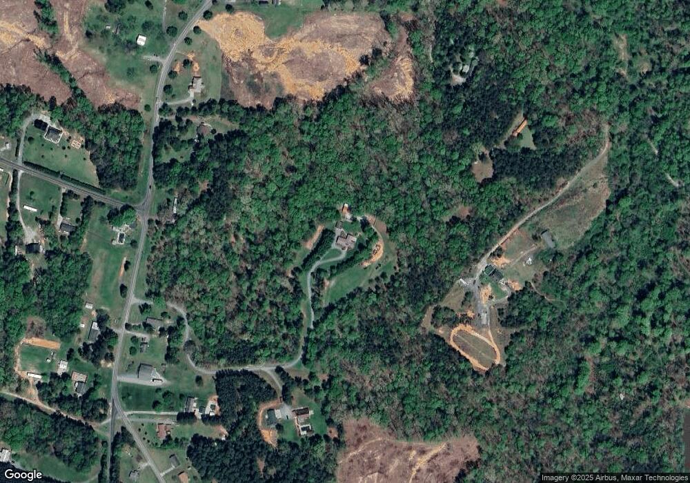
Map
Nearby Homes
- 0 Simerson Rd
- 177 Big Pine Dr
- 161 Big Pine Dr
- 417 Daniel Dr
- 437 Daniel Dr
- 229 Rebecca Ave
- 301 Rebecca Ave
- 3465 Sowers Rd
- 2605 Boones Cave Rd
- 175 Uphill Dr
- Cali Plan at Harvest Fields
- 130 Hidden Brook Trail
- 338 Potts Creek Rd
- 3361 N Goat Pasture Rd
- 10717 S Nc Highway 150 None
- 1207 + River Trace Ln Unit 9,15-19,21&21
- 2906 Swicegood Rd
- 324 Carriage Trace Ln
- 197 Broadway Rd
- 0 Long Bow Rd Unit 1200498
- 1585 Simerson Rd
- 1452 Simerson Rd
- 107 Lookout Mountain Dr
- 1531 Simerson Rd
- 1607 Simerson Rd
- 1579 Simerson Rd
- 1548 Simerson Rd
- 1480 Jubilee Rd
- 220 Old Pasture Rd
- 1448 Jubilee Rd
- 1464 Jubilee Rd
- 1246 Simerson Rd
- 1594 Simerson Rd
- 1414 Jubilee Rd
- 0 Simerson Rd
- 1304 Simerson Rd
- 1177 Simerson Rd
- 1394 Jubilee Rd
- 1378 Jubilee Rd
- 1432 Jubilee Rd