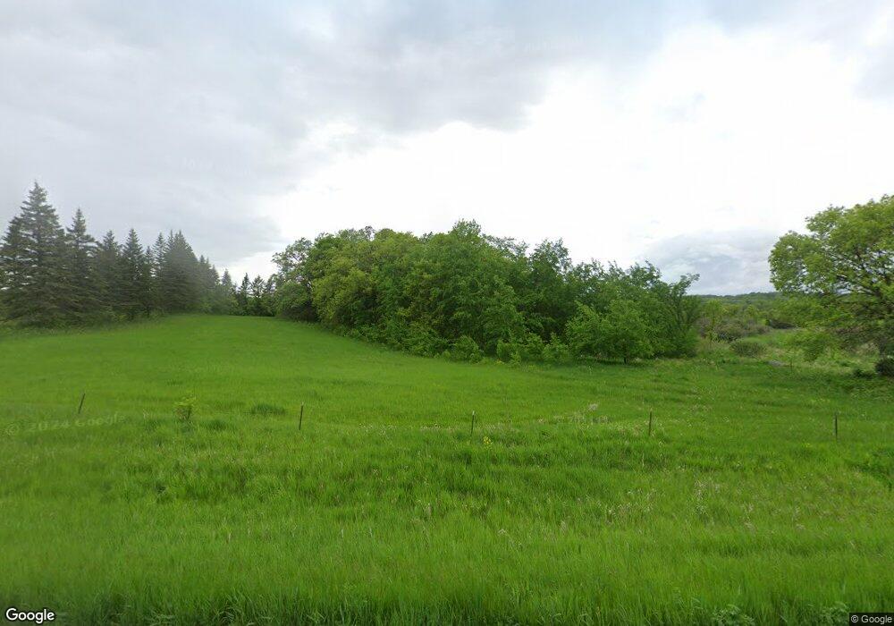
15885 County Highway 65 Parkers Prairie, MN 56361
Estimated Value: $232,000 - $1,188,651
--
Bed
--
Bath
912
Sq Ft
$696/Sq Ft
Est. Value
About This Home
This home is located at 15885 County Highway 65, Parkers Prairie, MN 56361 and is currently estimated at $634,550, approximately $695 per square foot. 15885 County Highway 65 is a home with nearby schools including Parkers Prairie Elementary School and Parkers Prairie Secondary School.
Ownership History
Date
Name
Owned For
Owner Type
Purchase Details
Closed on
Dec 12, 2018
Sold by
Anderson Audrey L
Bought by
Lutheran Brethren Bible Camp I
Current Estimated Value
Purchase Details
Closed on
Jan 15, 2016
Bought by
Anderson Audrey
Purchase Details
Closed on
Jul 31, 2015
Bought by
Anderson Audrey
Home Financials for this Owner
Home Financials are based on the most recent Mortgage that was taken out on this home.
Original Mortgage
$204,000
Interest Rate
4.02%
Create a Home Valuation Report for This Property
The Home Valuation Report is an in-depth analysis detailing your home's value as well as a comparison with similar homes in the area
Home Values in the Area
Average Home Value in this Area
Purchase History
| Date | Buyer | Sale Price | Title Company |
|---|---|---|---|
| Lutheran Brethren Bible Camp I | -- | Attorney Only | |
| Anderson Audrey | $392,400 | -- | |
| Anderson Audrey | $392,400 | -- |
Source: Public Records
Mortgage History
| Date | Status | Borrower | Loan Amount |
|---|---|---|---|
| Previous Owner | Anderson Audrey | $204,000 |
Source: Public Records
Tax History Compared to Growth
Tax History
| Year | Tax Paid | Tax Assessment Tax Assessment Total Assessment is a certain percentage of the fair market value that is determined by local assessors to be the total taxable value of land and additions on the property. | Land | Improvement |
|---|---|---|---|---|
| 2025 | $34 | $770,800 | $503,800 | $267,000 |
| 2024 | -- | $444,600 | $263,800 | $180,800 |
| 2023 | $41 | $444,600 | $263,800 | $180,800 |
| 2022 | $41 | $4,086 | $0 | $0 |
| 2021 | $41 | $444,600 | $263,800 | $180,800 |
| 2020 | $111 | $444,600 | $263,800 | $180,800 |
| 2019 | $3,016 | $830,100 | $494,400 | $335,700 |
| 2018 | $2,710 | $412,600 | $247,200 | $165,400 |
| 2017 | $2,688 | $365,600 | $256,100 | $109,500 |
| 2016 | $2,702 | $368,400 | $266,900 | $101,500 |
| 2015 | $3,532 | $0 | $0 | $0 |
| 2014 | -- | $344,800 | $244,600 | $100,200 |
Source: Public Records
Map
Nearby Homes
- TBD Norwegian Rd
- Xxxx Norwegian Rd
- 13505 485th Ave
- 18249 Norwegian Rd
- 607 W Colfax St
- 605 W Colfax St
- 606 W Colfax St
- 310 W Jackson St
- 118 E Colfax St
- 310 E Main St
- 459 E Elm St
- 16772 Tomten Rd
- 55774 Parkway Dr
- TBD 510th Ave
- TBD 483rd Ave
- 998 Vermont Lake Rd NW
- 42961 165th St
- Xxxxx Old 67 Rd
- 42502 240th St
- 19729 Nidaros Church Dr
