159 John Hodgdon Rd Ossipee, NH 03864
Estimated Value: $444,000 - $586,000
3
Beds
3
Baths
1,858
Sq Ft
$273/Sq Ft
Est. Value
About This Home
This home is located at 159 John Hodgdon Rd, Ossipee, NH 03864 and is currently estimated at $507,163, approximately $272 per square foot. 159 John Hodgdon Rd is a home located in Carroll County with nearby schools including Ossipee Central School, Kingswood Regional Middle School, and Kingswood Regional High School.
Ownership History
Date
Name
Owned For
Owner Type
Purchase Details
Closed on
Mar 25, 2005
Sold by
Esther M Emerson T
Bought by
Sullivan Faith T
Current Estimated Value
Home Financials for this Owner
Home Financials are based on the most recent Mortgage that was taken out on this home.
Original Mortgage
$200,000
Outstanding Balance
$101,059
Interest Rate
5.56%
Mortgage Type
Purchase Money Mortgage
Estimated Equity
$406,104
Create a Home Valuation Report for This Property
The Home Valuation Report is an in-depth analysis detailing your home's value as well as a comparison with similar homes in the area
Home Values in the Area
Average Home Value in this Area
Purchase History
| Date | Buyer | Sale Price | Title Company |
|---|---|---|---|
| Sullivan Faith T | $262,500 | -- |
Source: Public Records
Mortgage History
| Date | Status | Borrower | Loan Amount |
|---|---|---|---|
| Open | Sullivan Faith T | $200,000 |
Source: Public Records
Tax History Compared to Growth
Tax History
| Year | Tax Paid | Tax Assessment Tax Assessment Total Assessment is a certain percentage of the fair market value that is determined by local assessors to be the total taxable value of land and additions on the property. | Land | Improvement |
|---|---|---|---|---|
| 2024 | $4,367 | $376,428 | $148,628 | $227,800 |
| 2023 | $3,809 | $367,275 | $153,575 | $213,700 |
| 2022 | $3,299 | $179,476 | $46,176 | $133,300 |
| 2021 | $3,291 | $179,516 | $46,216 | $133,300 |
| 2020 | $3,059 | $179,421 | $46,221 | $133,200 |
| 2019 | $3,070 | $179,421 | $46,221 | $133,200 |
| 2018 | $3,036 | $145,976 | $35,176 | $110,800 |
| 2016 | $2,812 | $145,708 | $34,908 | $110,800 |
| 2015 | $2,670 | $145,662 | $34,862 | $110,800 |
| 2014 | $3,422 | $189,886 | $52,186 | $137,700 |
| 2013 | $4,025 | $231,468 | $54,568 | $176,900 |
Source: Public Records
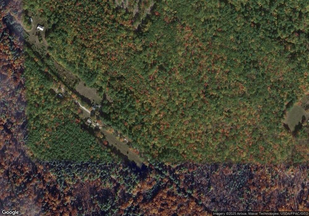
Map
Nearby Homes
- Lot 20.3(TM4) John Hodgdon Rd
- 59 Lake Rd
- 275 Granite Rd
- Lot 2 Leighton Corner Rd
- 730 Browns Ridge Rd
- 190 Circuit Rd
- Lot 6 Pick Pocket Rd
- 225 Simon Hill Rd
- 45 Effingham Rd
- 00 Diane Place Unit 5
- 314 Beverly Hills Dr
- 0 Province Lake Rd Unit 22854991
- 201 Beverly Hills Dr
- 288 Bonnyman Rd
- 1 Hawthorne Rd
- 419 Belleau Blvd
- 4 Brookwood Dr
- 7 Hawthorne Rd
- 00B Route 16
- 954 Route 16
- 210 John Hodgdon Rd
- 200 John Hodgdon Rd
- 129 John Hodgdon Rd
- 125 Foggs Ridge Rd
- 251 John Hodgdon Rd
- 109 Foggs Ridge Rd
- 253 John Hodgdon Rd
- 101 Foggs Ridge Rd
- 145 Foggs Ridge Rd
- 0 Foggs Ridge Rd
- 0 Foggs Ridge Rd Unit 4917757
- 0 Foggs Ridge Rd Unit 2735914
- 104 Foggs Ridge Rd
- 120 Foggs Ridge Rd
- 95 Foggs Ridge Rd
- 112 Foggs Ridge Rd
- 109 John Hodgdon Rd
- 86 Foggs Ridge Rd
- 86 Foggs Ridge Rd
- 90 Foggs Ridge Rd