159 Route 37 S Sherman, CT 06784
Estimated Value: $742,260 - $974,000
3
Beds
3
Baths
2,002
Sq Ft
$431/Sq Ft
Est. Value
About This Home
This home is located at 159 Route 37 S, Sherman, CT 06784 and is currently estimated at $863,815, approximately $431 per square foot. 159 Route 37 S is a home located in Fairfield County with nearby schools including Sherman School.
Ownership History
Date
Name
Owned For
Owner Type
Purchase Details
Closed on
Jul 25, 2013
Sold by
Kluge Mary E and Parente Joseph
Bought by
Parente Joseph
Current Estimated Value
Purchase Details
Closed on
Oct 2, 1997
Sold by
Shanley Lorraine W
Bought by
Kluge Mary Ellen and Parente Joseph
Home Financials for this Owner
Home Financials are based on the most recent Mortgage that was taken out on this home.
Original Mortgage
$236,250
Interest Rate
7.41%
Mortgage Type
Unknown
Create a Home Valuation Report for This Property
The Home Valuation Report is an in-depth analysis detailing your home's value as well as a comparison with similar homes in the area
Home Values in the Area
Average Home Value in this Area
Purchase History
| Date | Buyer | Sale Price | Title Company |
|---|---|---|---|
| Parente Joseph | $137,500 | -- | |
| Kluge Mary Ellen | $315,000 | -- |
Source: Public Records
Mortgage History
| Date | Status | Borrower | Loan Amount |
|---|---|---|---|
| Previous Owner | Kluge Mary Ellen | $247,000 | |
| Previous Owner | Kluge Mary Ellen | $236,250 | |
| Closed | Kluge Mary Ellen | $31,500 |
Source: Public Records
Tax History Compared to Growth
Tax History
| Year | Tax Paid | Tax Assessment Tax Assessment Total Assessment is a certain percentage of the fair market value that is determined by local assessors to be the total taxable value of land and additions on the property. | Land | Improvement |
|---|---|---|---|---|
| 2025 | $7,353 | $441,100 | $124,500 | $316,600 |
| 2024 | $7,216 | $441,100 | $124,500 | $316,600 |
| 2023 | $7,860 | $441,100 | $124,500 | $316,600 |
| 2022 | $8,019 | $441,100 | $124,500 | $316,600 |
| 2021 | $6,211 | $333,200 | $124,500 | $208,700 |
| 2020 | $6,367 | $333,200 | $124,500 | $208,700 |
| 2019 | $33 | $333,200 | $124,500 | $208,700 |
| 2018 | $6,495 | $319,500 | $131,400 | $188,100 |
| 2017 | $33 | $319,500 | $131,400 | $188,100 |
| 2016 | $6,495 | $319,480 | $131,390 | $188,090 |
| 2015 | $6,402 | $319,480 | $131,390 | $188,090 |
| 2014 | $6,338 | $319,480 | $131,390 | $188,090 |
Source: Public Records
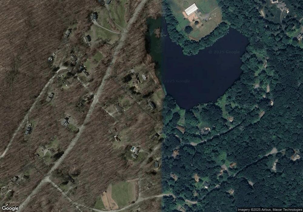
Map
Nearby Homes
- 201 Route 37 S
- 2 Coburn Rd W
- 5 Stone Wall Ln
- 7 Glenview Dr
- 0 Wagon Wheel Rd Unit 24065102
- 54 Lavelle Ave
- 2 Pleasant View Rd
- 0 Rte 39 South State Route
- 7 Candle Hill Rd
- 15 Flak Ln
- 1 Pine Crest Ln
- 14 Cherry Dr
- 86 Connecticut 37
- 8 Candleview Dr
- 5 Sail Harbour Dr
- 4 Deer Run Trail
- 15 Misty Brook Ln
- 5 Bridgeworth Ln
- 256 State Route 39
- 4 Harbour View Dr
- 7 Pepper Pond Rd
- 161 Route 37 S
- 163 Route 37 S
- 157 Route 37 S
- 9 Pepper Pond Rd
- 6 Pepper Pond Rd
- 5 Pepper Pond Rd
- 11 Pepper Pond Rd
- 4 Pepper Pond Rd
- 2 Timber Lake Rd
- 1 Timber Lake Rd
- 19 Durgy Ln
- 13 Pepper Pond Rd
- 2 Pepper Pond Rd
- 1 Long Meadow Trail
- 158 Route 37 S
- 162 Connecticut 37
- 164 Route 37 S
- 3 Timber Lake Rd
- 4 Timber Lake Rd