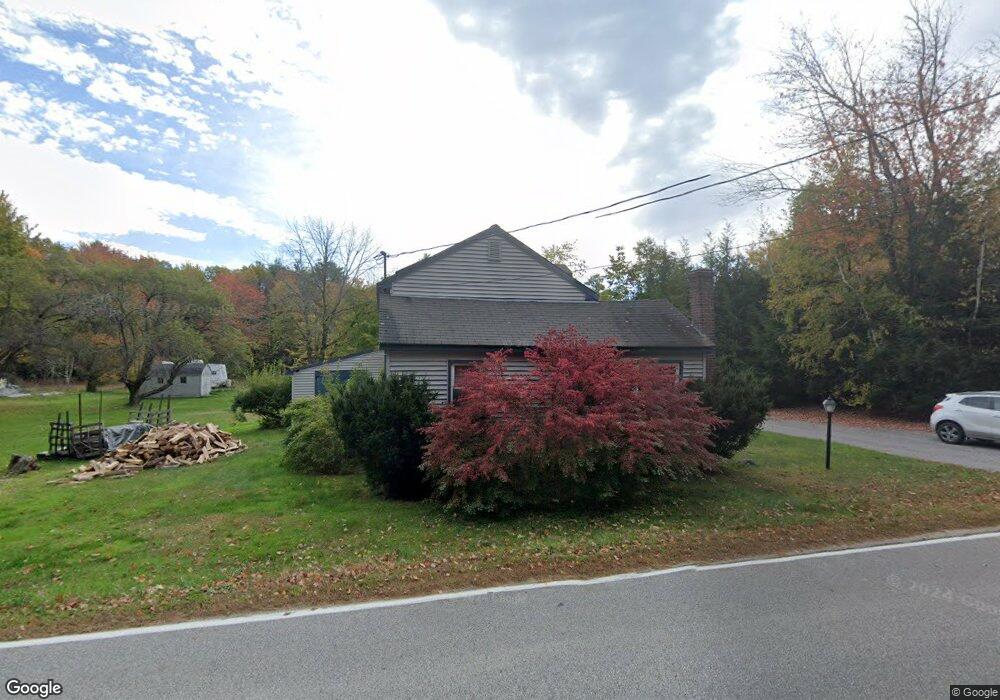
159 Smutty Ln Saco, ME 04072
North Saco NeighborhoodEstimated Value: $454,890 - $552,000
3
Beds
2
Baths
2,092
Sq Ft
$237/Sq Ft
Est. Value
About This Home
This home is located at 159 Smutty Ln, Saco, ME 04072 and is currently estimated at $495,223, approximately $236 per square foot. 159 Smutty Ln is a home located in York County with nearby schools including C K Burns School, Saco Middle School, and Florence Lombard Christian School.
Ownership History
Date
Name
Owned For
Owner Type
Purchase Details
Closed on
Mar 18, 2008
Sold by
Green Machine Llc
Bought by
Walsh Kevin and Walsh Lauren J
Current Estimated Value
Purchase Details
Closed on
Feb 15, 2008
Sold by
159 Smutty Ln Res Land T
Bought by
Nolette Michael and Nolette Melinda
Purchase Details
Closed on
Dec 21, 2007
Sold by
Nolette Melinda D and Nolette Michael C
Bought by
159 Smutty Ln Res Land T
Create a Home Valuation Report for This Property
The Home Valuation Report is an in-depth analysis detailing your home's value as well as a comparison with similar homes in the area
Home Values in the Area
Average Home Value in this Area
Purchase History
| Date | Buyer | Sale Price | Title Company |
|---|---|---|---|
| Walsh Kevin | -- | -- | |
| Green Machine Llc | -- | -- | |
| Nolette Michael | $1,001 | -- | |
| 159 Smutty Ln Res Land T | -- | -- |
Source: Public Records
Mortgage History
| Date | Status | Borrower | Loan Amount |
|---|---|---|---|
| Open | 159 Smutty Ln Res Land T | $165,600 | |
| Closed | 159 Smutty Ln Res Land T | $13,050 | |
| Closed | 159 Smutty Ln Res Land T | $161,200 |
Source: Public Records
Tax History Compared to Growth
Tax History
| Year | Tax Paid | Tax Assessment Tax Assessment Total Assessment is a certain percentage of the fair market value that is determined by local assessors to be the total taxable value of land and additions on the property. | Land | Improvement |
|---|---|---|---|---|
| 2024 | $4,764 | $339,100 | $148,200 | $190,900 |
| 2023 | $5,002 | $339,100 | $148,200 | $190,900 |
| 2022 | $4,533 | $247,300 | $112,800 | $134,500 |
| 2021 | $4,380 | $232,000 | $101,500 | $130,500 |
| 2020 | $4,113 | $209,100 | $89,300 | $119,800 |
| 2019 | $4,052 | $209,100 | $89,300 | $119,800 |
| 2018 | $3,895 | $201,000 | $81,200 | $119,800 |
| 2017 | $3,733 | $192,600 | $74,200 | $118,400 |
| 2016 | $3,441 | $177,200 | $57,900 | $119,300 |
| 2015 | $3,377 | $175,700 | $57,900 | $117,800 |
| 2014 | $3,272 | $175,700 | $57,900 | $117,800 |
| 2013 | $3,265 | $175,700 | $57,900 | $117,800 |
Source: Public Records
Map
Nearby Homes
- 224 New County Rd
- Lot 2 TBD Bobby Ave
- 295 Buxton Rd
- 4 Smutty Ln
- 10 Jeffrey Ave
- 37 Douglas Ave
- 43 New County Rd
- TBD Cribble Cove Rd
- 48 Hillview Ave
- 130 River Rd
- 4 Spool St Unit 101
- 8 Nottingham Dr
- 48 Garfield St Unit 9
- 436 Flag Pond Rd
- 7 Hubbard St
- lot 2 June Dr
- lot 3 June Dr
- 11 Brentwood Cir
- 12 Shadagee Rd
- 495 South St