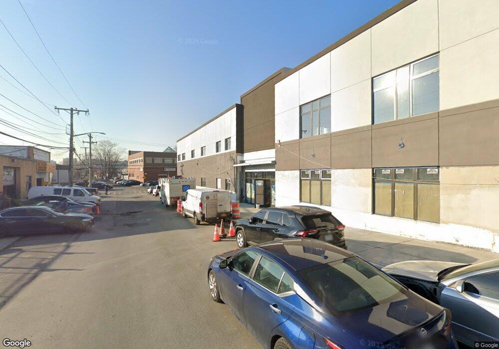
1591 E 233rd St Bronx, NY 10466
Eastchester NeighborhoodEstimated Value: $6,574,218
--
Bed
--
Bath
35,539
Sq Ft
$185/Sq Ft
Est. Value
About This Home
This home is located at 1591 E 233rd St, Bronx, NY 10466 and is currently estimated at $6,574,218, approximately $184 per square foot. 1591 E 233rd St is a home located in Bronx County with nearby schools including Cornerstone Academy For Social Action, Baychester Middle School, and One World Middle School At Edenwald.
Ownership History
Date
Name
Owned For
Owner Type
Purchase Details
Closed on
Sep 25, 2019
Sold by
233 E Llc
Bought by
Superior 233Rd Llc
Current Estimated Value
Home Financials for this Owner
Home Financials are based on the most recent Mortgage that was taken out on this home.
Original Mortgage
$3,900,000
Outstanding Balance
$3,416,596
Interest Rate
3.5%
Mortgage Type
Purchase Money Mortgage
Estimated Equity
$3,157,622
Purchase Details
Closed on
Jun 17, 2011
Sold by
Muirfield Road Realty Llc
Bought by
233 E Llc
Purchase Details
Closed on
Jan 18, 2010
Sold by
31-35 Carroll Street Llc
Bought by
Muirfield Road Realty Llc
Create a Home Valuation Report for This Property
The Home Valuation Report is an in-depth analysis detailing your home's value as well as a comparison with similar homes in the area
Home Values in the Area
Average Home Value in this Area
Purchase History
| Date | Buyer | Sale Price | Title Company |
|---|---|---|---|
| Superior 233Rd Llc | $5,200,000 | -- | |
| 233 E Llc | -- | -- | |
| Muirfield Road Realty Llc | -- | -- |
Source: Public Records
Mortgage History
| Date | Status | Borrower | Loan Amount |
|---|---|---|---|
| Open | Superior 233Rd Llc | $3,900,000 |
Source: Public Records
Tax History Compared to Growth
Tax History
| Year | Tax Paid | Tax Assessment Tax Assessment Total Assessment is a certain percentage of the fair market value that is determined by local assessors to be the total taxable value of land and additions on the property. | Land | Improvement |
|---|---|---|---|---|
| 2025 | $307,357 | $2,946,870 | $310,950 | $2,635,920 |
| 2024 | $307,357 | $2,901,780 | $310,950 | $2,590,830 |
| 2023 | $175,814 | $1,651,455 | $267,660 | $1,383,795 |
| 2022 | $168,994 | $1,692,450 | $310,950 | $1,381,500 |
| 2021 | $66,294 | $901,350 | $310,950 | $590,400 |
| 2020 | $51,684 | $488,250 | $94,500 | $393,750 |
| 2019 | $10,463 | $488,250 | $94,500 | $393,750 |
| 2018 | $31,681 | $490,050 | $94,500 | $395,550 |
| 2017 | $26,429 | $272,700 | $94,500 | $178,200 |
| 2016 | $22,906 | $254,250 | $94,500 | $159,750 |
| 2015 | $14,528 | $253,800 | $94,500 | $159,300 |
| 2014 | $14,528 | $235,800 | $94,500 | $141,300 |
Source: Public Records
Map
Nearby Homes
- 3735 Rombouts Ave
- 3992 Rombouts Ave
- 3946 Secor Ave
- 2123 Garrett Place
- 4003 Secor Ave
- 2110 Light St
- 3919 Pratt Ave
- 3924 Duryea Ave
- 3665 Varian Ave
- 4040 Pratt Ave
- 4044 Pratt Ave
- 3964 Duryea Ave
- 3968 Duryea Ave
- 1405 E 233rd St
- 3963 Duryea Ave
- 42 Wildwood Ave
- 15 Saint Pauls Place
- 2181 Strang Ave
- 3943 Seton Ave
- 724 S 4th Ave
- 1605 E 233rd St
- 1578-1586 E 233rd St
- 3901 Rombouts Ave
- 3821 Merritt Ave
- 3903 Rombouts Ave
- 3913 Rombouts Ave
- 3915 Rombouts Ave
- 3972 Rombouts Ave
- 3917 Rombouts Ave
- 1600 E 233rd St
- 1615 E 233rd St
- 3919 Rombouts Ave
- 3819 Merritt Ave
- 3976 Rombouts Ave
- 3904-3906 Dyre Ave
- 3817 Merritt Ave
- 3923 Rombouts Ave
- 3980 Rombouts Ave
- 3828-3838 Dyre Ave
- 3925 Rombouts Ave