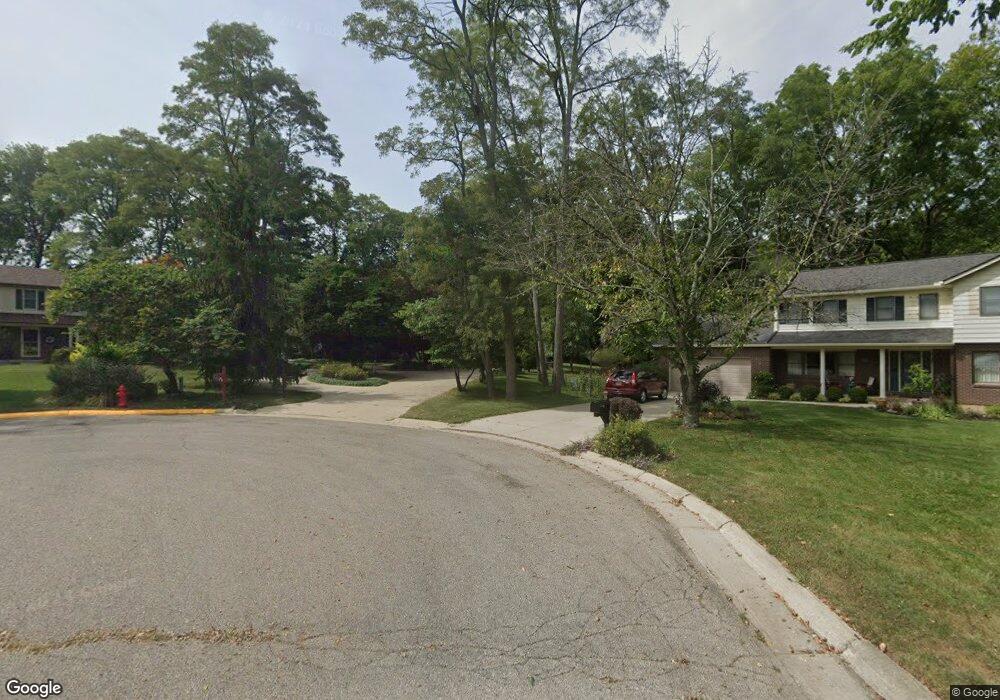
16 Carrie Cir Oxford, OH 45056
Estimated Value: $491,000 - $574,000
4
Beds
3
Baths
2,774
Sq Ft
$189/Sq Ft
Est. Value
About This Home
This home is located at 16 Carrie Cir, Oxford, OH 45056 and is currently estimated at $523,108, approximately $188 per square foot. 16 Carrie Cir is a home located in Butler County with nearby schools including Talawanda Middle School, Talawanda High School, and Mcguffey Montessori School.
Ownership History
Date
Name
Owned For
Owner Type
Purchase Details
Closed on
Dec 14, 1994
Sold by
Society Bank Trust
Bought by
Jamison Steven C and Jamison Peggy
Current Estimated Value
Home Financials for this Owner
Home Financials are based on the most recent Mortgage that was taken out on this home.
Original Mortgage
$110,000
Interest Rate
6.5%
Mortgage Type
New Conventional
Create a Home Valuation Report for This Property
The Home Valuation Report is an in-depth analysis detailing your home's value as well as a comparison with similar homes in the area
Home Values in the Area
Average Home Value in this Area
Purchase History
| Date | Buyer | Sale Price | Title Company |
|---|---|---|---|
| Jamison Steven C | $175,000 | -- |
Source: Public Records
Mortgage History
| Date | Status | Borrower | Loan Amount |
|---|---|---|---|
| Closed | Jamison Steven C | $110,000 |
Source: Public Records
Tax History Compared to Growth
Tax History
| Year | Tax Paid | Tax Assessment Tax Assessment Total Assessment is a certain percentage of the fair market value that is determined by local assessors to be the total taxable value of land and additions on the property. | Land | Improvement |
|---|---|---|---|---|
| 2024 | $6,144 | $166,680 | $17,120 | $149,560 |
| 2023 | $5,896 | $166,680 | $17,120 | $149,560 |
| 2022 | $4,102 | $105,620 | $17,120 | $88,500 |
| 2021 | $3,905 | $105,620 | $17,120 | $88,500 |
| 2020 | $4,084 | $105,620 | $17,120 | $88,500 |
| 2019 | $6,837 | $90,510 | $17,130 | $73,380 |
| 2018 | $3,691 | $90,510 | $17,130 | $73,380 |
| 2017 | $3,317 | $90,510 | $17,130 | $73,380 |
| 2016 | $3,155 | $83,310 | $17,130 | $66,180 |
| 2015 | $3,210 | $83,310 | $17,130 | $66,180 |
| 2014 | $3,973 | $83,310 | $17,130 | $66,180 |
| 2013 | $3,973 | $98,450 | $17,130 | $81,320 |
Source: Public Records
Map
Nearby Homes
- 509 White Oak Dr
- 812 Winding Brook Dr
- 7 Robin Ct
- 6 Autumn Dr
- 60 Autumn Dr
- 1020 Tollgate Dr
- 446 Emerald Woods Dr
- 715 W Chestnut St
- 53 Great Horned Dr
- 59 Great Horned Dr
- 74 Great Horned Dr
- 71 Great Horned Dr
- 80 Great Horned Dr
- 6135 Fairfield Rd
- 626 W Chestnut St
- 40 Charleston Dr Unit 4
- Chatham Plan at Owls' Landing
- Newcastle Plan at Owls' Landing
- Holcombe Plan at Owls' Landing
- 14 Carrie Cir
- 16 Lantern Ridge Rd
- 17 Carrie Cir
- 12 Lantern Ridge Rd
- 494 White Oak Dr
- 15 Carrie Cir
- 22 Lantern Ridge Rd
- 498 White Oak Dr
- 502 White Oak Dr
- 240 Hunter Woods Dr
- 11 Lantern Ridge Rd
- 13 Carrie Cir
- 34 Lantern Ridge Rd
- 11 Carrie Cir
- 25 Lantern Ridge Rd
- 490 White Oak Dr
- 230 Hunter Woods Dr
- 254 Hunter Woods Dr
- 9 Carrie Cir
- 486 White Oak Dr