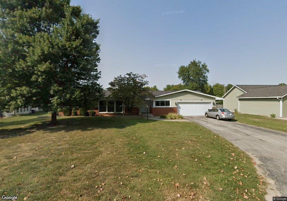
16 Davis Dr Jerseyville, IL 62052
Estimated Value: $211,000 - $315,000
3
Beds
3
Baths
1,657
Sq Ft
$153/Sq Ft
Est. Value
About This Home
This home is located at 16 Davis Dr, Jerseyville, IL 62052 and is currently estimated at $254,058, approximately $153 per square foot. 16 Davis Dr is a home located in Jersey County with nearby schools including Jersey Community High School, St Francis/Holy Ghost Catholic School, and Victory Baptist School.
Ownership History
Date
Name
Owned For
Owner Type
Purchase Details
Closed on
May 31, 2013
Sold by
Main Cathryn
Bought by
Kanallakan Justin
Current Estimated Value
Home Financials for this Owner
Home Financials are based on the most recent Mortgage that was taken out on this home.
Original Mortgage
$168,367
Outstanding Balance
$118,963
Interest Rate
3.34%
Estimated Equity
$135,095
Purchase Details
Closed on
Dec 5, 2009
Sold by
Punis Judy Kay and Portman Martha Sue
Bought by
Main William G and Main Cathryn
Create a Home Valuation Report for This Property
The Home Valuation Report is an in-depth analysis detailing your home's value as well as a comparison with similar homes in the area
Home Values in the Area
Average Home Value in this Area
Purchase History
| Date | Buyer | Sale Price | Title Company |
|---|---|---|---|
| Kanallakan Justin | -- | -- | |
| Main William G | -- | -- |
Source: Public Records
Mortgage History
| Date | Status | Borrower | Loan Amount |
|---|---|---|---|
| Open | Kanallakan Justin | $168,367 |
Source: Public Records
Tax History Compared to Growth
Tax History
| Year | Tax Paid | Tax Assessment Tax Assessment Total Assessment is a certain percentage of the fair market value that is determined by local assessors to be the total taxable value of land and additions on the property. | Land | Improvement |
|---|---|---|---|---|
| 2024 | $4,616 | $65,625 | $11,775 | $53,850 |
| 2023 | $4,395 | $61,330 | $11,005 | $50,325 |
| 2022 | $4,215 | $57,320 | $10,285 | $47,035 |
| 2021 | $4,039 | $54,335 | $9,750 | $44,585 |
| 2020 | $3,795 | $52,245 | $9,375 | $42,870 |
| 2019 | $3,795 | $50,970 | $9,145 | $41,825 |
| 2018 | $3,719 | $45,175 | $9,075 | $36,100 |
| 2017 | $3,780 | $44,835 | $9,005 | $35,830 |
| 2016 | $3,796 | $45,150 | $9,070 | $36,080 |
| 2015 | -- | $45,840 | $9,210 | $36,630 |
| 2014 | -- | $45,910 | $9,225 | $36,685 |
Source: Public Records
Map
Nearby Homes
- 402 Minard St
- 36 Witt Mill Rd
- 40 Witt Mill Rd
- 46 Witt Mill Rd
- 34 Witt Mill Rd
- 38 Witt Mill Rd
- 42 Witt Mill Rd
- 33 Witt Mill Rd
- 48 Witt Mill Rd
- 44 Witt Mill Rd
- 50 Witt Mill Rd
- 809 N Giddings Ave
- 1137 Warren St
- 1141 Warren St
- 713 N State St
- 820 N Liberty St
- 105 Hollow Ave
- 119 Dressel Dr
- 405 Pleasant St
- 502 Snedeker St
- 15 Davis Dr
- 17 Oakwood Place
- 291 E Fairgrounds Ave
- 289 E Fairgrounds Ave
- 14 Davis Dr
- 24 Oakwood Place
- 293 E Fairgrounds Ave
- 287 E Fairgrounds Ave
- 22 Davis Dr
- 0 Ridgepoint Dr
- 13 Davis Dr
- 25 Oakwood Place
- 295 E Fairgrounds Ave
- 279 E Fairgrounds Ave
- 26 Oakwood Place
- 21 Davis Dr
- 12 Davis Dr
- 27 Oakwood Place
- 5 Ridgepoint Dr
- 28 Oakwood Place