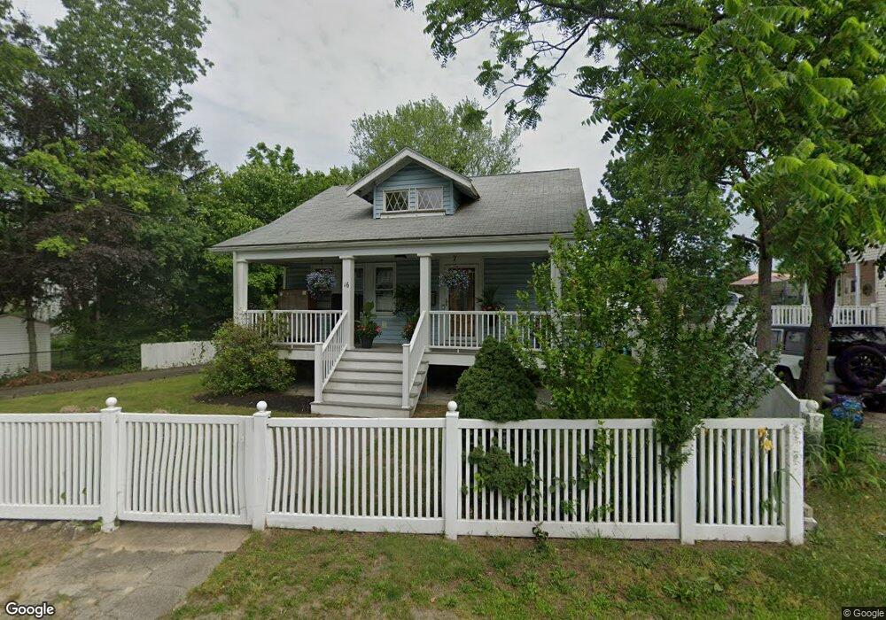
16 Edson St Brockton, MA 02302
Campello NeighborhoodEstimated Value: $411,000 - $444,000
2
Beds
2
Baths
978
Sq Ft
$440/Sq Ft
Est. Value
About This Home
This home is located at 16 Edson St, Brockton, MA 02302 and is currently estimated at $430,691, approximately $440 per square foot. 16 Edson St is a home located in Plymouth County with nearby schools including Davis K-8 School, John F. Kennedy Elementary School, and South Middle School.
Ownership History
Date
Name
Owned For
Owner Type
Purchase Details
Closed on
Oct 29, 2004
Sold by
Hines Perri M and Hines Ronald A
Bought by
Deandrade Jose
Current Estimated Value
Home Financials for this Owner
Home Financials are based on the most recent Mortgage that was taken out on this home.
Original Mortgage
$215,159
Outstanding Balance
$107,085
Interest Rate
5.74%
Mortgage Type
Purchase Money Mortgage
Estimated Equity
$323,606
Purchase Details
Closed on
Dec 20, 1991
Sold by
Wright Christopher M and Meurling Michael J
Bought by
Gross Perri M
Purchase Details
Closed on
Dec 17, 1990
Sold by
Arnold Ralph
Bought by
Wright Christopher M
Create a Home Valuation Report for This Property
The Home Valuation Report is an in-depth analysis detailing your home's value as well as a comparison with similar homes in the area
Home Values in the Area
Average Home Value in this Area
Purchase History
| Date | Buyer | Sale Price | Title Company |
|---|---|---|---|
| Deandrade Jose | $226,483 | -- | |
| Hines Ronald A | -- | -- | |
| Gross Perri M | $81,800 | -- | |
| Wright Christopher M | $10,144 | -- |
Source: Public Records
Mortgage History
| Date | Status | Borrower | Loan Amount |
|---|---|---|---|
| Open | Wright Christopher M | $215,159 | |
| Previous Owner | Wright Christopher M | $90,500 | |
| Previous Owner | Wright Christopher M | $21,500 |
Source: Public Records
Tax History Compared to Growth
Tax History
| Year | Tax Paid | Tax Assessment Tax Assessment Total Assessment is a certain percentage of the fair market value that is determined by local assessors to be the total taxable value of land and additions on the property. | Land | Improvement |
|---|---|---|---|---|
| 2025 | $4,510 | $372,400 | $158,500 | $213,900 |
| 2024 | $4,423 | $368,000 | $158,500 | $209,500 |
| 2023 | $4,056 | $312,500 | $108,700 | $203,800 |
| 2022 | $4,234 | $303,100 | $98,800 | $204,300 |
| 2021 | $3,412 | $235,300 | $91,200 | $144,100 |
| 2020 | $3,577 | $236,100 | $80,300 | $155,800 |
| 2019 | $3,442 | $221,500 | $76,400 | $145,100 |
| 2018 | $3,161 | $196,800 | $76,400 | $120,400 |
| 2017 | $2,871 | $178,300 | $76,400 | $101,900 |
| 2016 | $3,003 | $173,000 | $72,900 | $100,100 |
| 2015 | $2,623 | $144,500 | $72,900 | $71,600 |
| 2014 | $2,580 | $142,300 | $72,900 | $69,400 |
Source: Public Records
Map
Nearby Homes
- 28 Wallace St
- 112 Hillside Ave
- 34 Carl Ave
- 44 Baker St
- 12 Paulin Ave
- 54 Ferris Ave
- 70 Carlisle St
- 16 Yuba Cir
- 229 Sinclair Rd
- 265 Summer St
- 221 Sinclair Rd
- 163 S Leyden St
- 74 Oakland St
- 34 Oakland St
- 223 Clinton St Unit 10
- 223 Clinton St Unit 3
- 24 Ithica Rd
- 597 East St
- 122 Sinclair Rd
- 103 Clinton St