16 Ide Perrin Rd Woodstock, CT 06281
Estimated Value: $303,000 - $383,696
2
Beds
2
Baths
1,405
Sq Ft
$249/Sq Ft
Est. Value
About This Home
This home is located at 16 Ide Perrin Rd, Woodstock, CT 06281 and is currently estimated at $350,424, approximately $249 per square foot. 16 Ide Perrin Rd is a home located in Windham County with nearby schools including Woodstock Elementary School, Woodstock Middle School, and Trinity Catholic Academy.
Ownership History
Date
Name
Owned For
Owner Type
Purchase Details
Closed on
Aug 12, 2010
Sold by
Bank Of New York Mello
Bought by
Morrell John P
Current Estimated Value
Home Financials for this Owner
Home Financials are based on the most recent Mortgage that was taken out on this home.
Original Mortgage
$96,000
Outstanding Balance
$63,506
Interest Rate
4.63%
Mortgage Type
Purchase Money Mortgage
Estimated Equity
$286,918
Purchase Details
Closed on
Jan 6, 2010
Sold by
Bourdeau Michael Est and Moyer-Mccracken
Bought by
Bank Of New York
Purchase Details
Closed on
Mar 13, 2000
Sold by
Krause Peter B
Bought by
Bourdeau Michael B
Home Financials for this Owner
Home Financials are based on the most recent Mortgage that was taken out on this home.
Original Mortgage
$112,000
Interest Rate
8.18%
Mortgage Type
Purchase Money Mortgage
Create a Home Valuation Report for This Property
The Home Valuation Report is an in-depth analysis detailing your home's value as well as a comparison with similar homes in the area
Home Values in the Area
Average Home Value in this Area
Purchase History
| Date | Buyer | Sale Price | Title Company |
|---|---|---|---|
| Morrell John P | $120,000 | -- | |
| Bank Of New York | -- | -- | |
| Bourdeau Michael B | $140,000 | -- |
Source: Public Records
Mortgage History
| Date | Status | Borrower | Loan Amount |
|---|---|---|---|
| Open | Bourdeau Michael B | $35,000 | |
| Open | Bourdeau Michael B | $96,000 | |
| Previous Owner | Bourdeau Michael B | $163,800 | |
| Previous Owner | Bourdeau Michael B | $112,000 |
Source: Public Records
Tax History Compared to Growth
Tax History
| Year | Tax Paid | Tax Assessment Tax Assessment Total Assessment is a certain percentage of the fair market value that is determined by local assessors to be the total taxable value of land and additions on the property. | Land | Improvement |
|---|---|---|---|---|
| 2025 | $4,894 | $200,500 | $52,300 | $148,200 |
| 2024 | $4,620 | $200,500 | $52,300 | $148,200 |
| 2023 | $4,493 | $200,500 | $52,300 | $148,200 |
| 2022 | $4,180 | $200,500 | $52,300 | $148,200 |
| 2021 | $3,833 | $150,300 | $40,500 | $109,800 |
| 2020 | $3,161 | $129,000 | $36,400 | $92,600 |
| 2019 | $3,161 | $129,000 | $36,400 | $92,600 |
| 2018 | $3,161 | $129,000 | $36,400 | $92,600 |
| 2017 | $3,135 | $129,000 | $36,400 | $92,600 |
| 2016 | $3,060 | $127,300 | $41,200 | $86,100 |
| 2015 | $2,974 | $127,300 | $41,200 | $86,100 |
| 2014 | $2,941 | $127,300 | $41,200 | $86,100 |
Source: Public Records
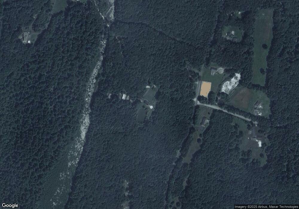
Map
Nearby Homes
- 00 Ide Perrin Rd
- 55 Pond View Dr
- 504 Alpine Dr
- 71 Rawson Rd
- 0 English Neighborhood Rd
- 278 Child Rd
- 1669 Route 169
- 1023 N Woodstock Rd
- 104 Hilltop Dr Unit 2
- 0 Alpine Dr
- 717 Tipton Rock Rd
- 0 Center Rd
- 26 Center Rd
- 0 Rr 197 Rd
- 101 Center Rd
- 1820 Route 197
- 99 Lebanon Hill Rd
- 28 Servant Way
- 29 Arland Dr
- 389 Breakneck Rd
- 68 Ide Perrin Rd
- 24 Ide Perrin Rd
- 786 Brickyard Rd
- 765 Brickyard Rd
- 797 Brickyard Rd
- 805 Brickyard Rd
- 701 English Neighborhood Rd
- 811 Brickyard Rd
- 700 English Neighborhood Rd
- 69 Ide Perrin Rd
- 77 Ide Perrin Rd
- 723 Brickyard Rd
- 829 Brickyard Rd
- 711 Brickyard Rd
- 65 Ide Perrin Rd
- 65 Ide Perrin Rd
- 141 Laurel Ridge Dr
- 843 Brickyard Rd
- 665 English Neighborhood Rd
- 851 Brickyard Rd