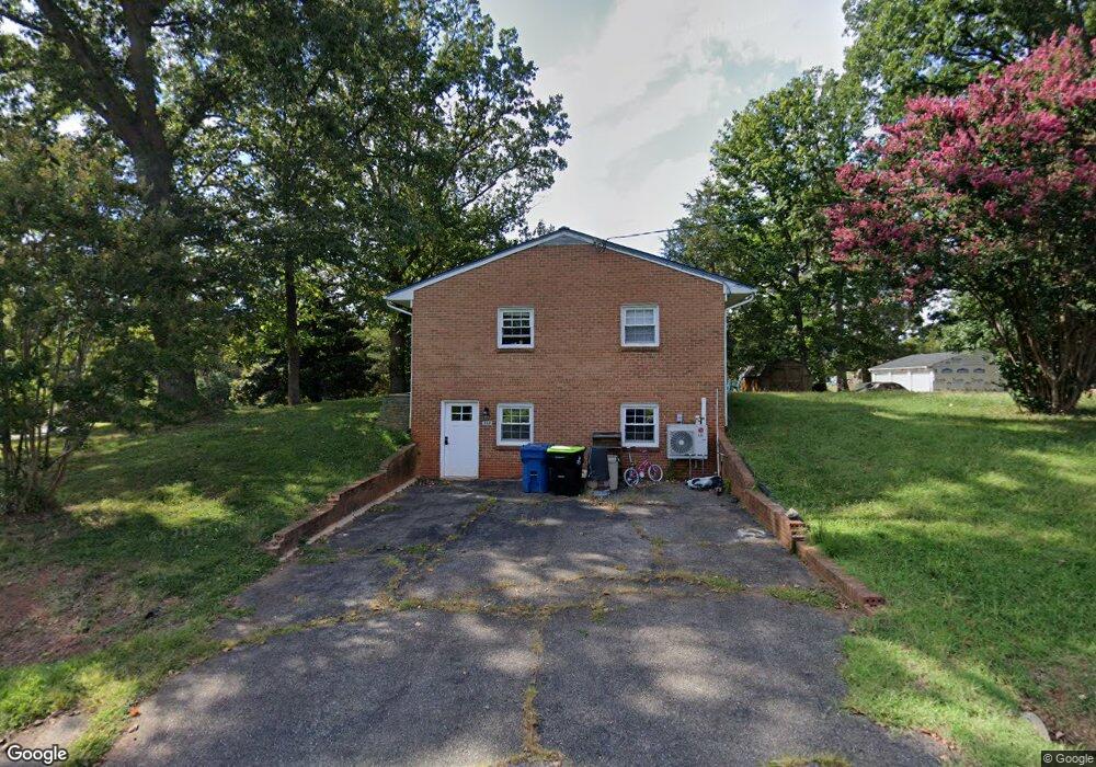
160 Adrian St Madison Heights, VA 24572
Estimated Value: $203,227 - $330,000
2
Beds
1
Bath
1,242
Sq Ft
$207/Sq Ft
Est. Value
About This Home
This home is located at 160 Adrian St, Madison Heights, VA 24572 and is currently estimated at $256,807, approximately $206 per square foot. 160 Adrian St is a home located in Amherst County with nearby schools including Amelon Elementary School, Monelison Middle School, and Amherst County High School.
Ownership History
Date
Name
Owned For
Owner Type
Purchase Details
Closed on
Jul 14, 2023
Sold by
Cornerstone Contracting/Va Llc
Bought by
Mays Spencer Allen and Mays Kaylie Slayton
Current Estimated Value
Purchase Details
Closed on
Nov 2, 2017
Sold by
Marrs Joseph E
Bought by
Marrs Joseph E and Marrs Victoria
Home Financials for this Owner
Home Financials are based on the most recent Mortgage that was taken out on this home.
Original Mortgage
$112,000
Interest Rate
3.85%
Mortgage Type
New Conventional
Purchase Details
Closed on
Dec 1, 2010
Sold by
Fitzgerald C Lincoln and Fitzgerald Sterling W
Bought by
Marrs Joseph E
Home Financials for this Owner
Home Financials are based on the most recent Mortgage that was taken out on this home.
Original Mortgage
$128,497
Interest Rate
4.37%
Mortgage Type
New Conventional
Create a Home Valuation Report for This Property
The Home Valuation Report is an in-depth analysis detailing your home's value as well as a comparison with similar homes in the area
Home Values in the Area
Average Home Value in this Area
Purchase History
| Date | Buyer | Sale Price | Title Company |
|---|---|---|---|
| Mays Spencer Allen | $227,000 | None Listed On Document | |
| Marrs Joseph E | -- | None Available | |
| Marrs Joseph E | -- | None Available |
Source: Public Records
Mortgage History
| Date | Status | Borrower | Loan Amount |
|---|---|---|---|
| Previous Owner | Marrs Joseph E | $112,000 | |
| Previous Owner | Marrs Joseph E | $128,497 |
Source: Public Records
Tax History Compared to Growth
Tax History
| Year | Tax Paid | Tax Assessment Tax Assessment Total Assessment is a certain percentage of the fair market value that is determined by local assessors to be the total taxable value of land and additions on the property. | Land | Improvement |
|---|---|---|---|---|
| 2025 | $773 | $126,700 | $17,500 | $109,200 |
| 2024 | $773 | $126,700 | $17,500 | $109,200 |
| 2023 | $773 | $126,700 | $17,500 | $109,200 |
| 2022 | $773 | $126,700 | $17,500 | $109,200 |
| 2021 | $773 | $126,700 | $17,500 | $109,200 |
| 2020 | $773 | $126,700 | $17,500 | $109,200 |
| 2019 | $770 | $126,300 | $23,500 | $102,800 |
| 2018 | $770 | $126,300 | $23,500 | $102,800 |
| 2017 | $770 | $126,300 | $23,500 | $102,800 |
| 2016 | $770 | $126,300 | $23,500 | $102,800 |
| 2015 | $707 | $126,300 | $23,500 | $102,800 |
| 2014 | $707 | $126,300 | $23,500 | $102,800 |
Source: Public Records
Map
Nearby Homes
- 327 Dixie Airport Rd
- 272 Dixie Airport Rd
- 150 Glenwood Dr
- 571 Dixie Airport Rd
- 505 Royal Gardens Ct
- 51 Patrick Ct
- 4123 S Amherst Hwy
- 250 S Wood Duck Dr
- 289 Todd Ln
- TBD Stratford Place Unit 39
- 151 Stratford Place
- 193 Daniels Dr
- 115 Morgan Rd
- 379 Winesap Rd
- 561 Oak Grove Dr
- 687 Elon Rd
- 4512 S Amherst Hwy
- 0 S Amherst Hwy Unit 362100
- 0 S Amherst Hwy Unit 336267
- 167 Mansfield Dr