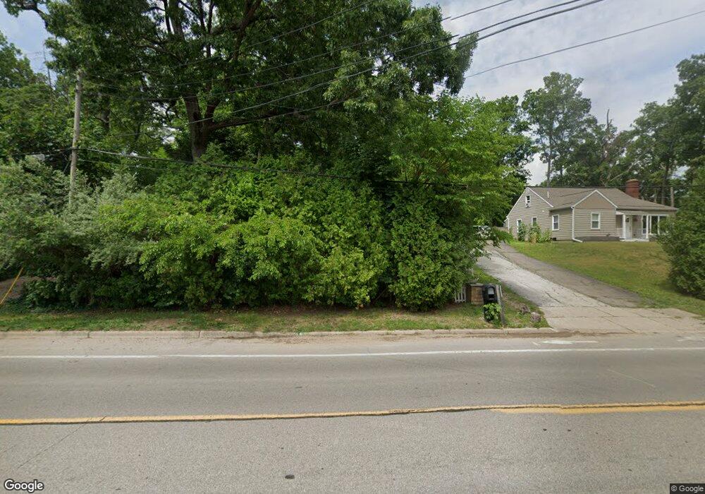
1600 Romence Rd Portage, MI 49024
Estimated Value: $245,000 - $295,349
3
Beds
2
Baths
2,292
Sq Ft
$122/Sq Ft
Est. Value
About This Home
This home is located at 1600 Romence Rd, Portage, MI 49024 and is currently estimated at $279,337, approximately $121 per square foot. 1600 Romence Rd is a home located in Kalamazoo County with nearby schools including Haverhill Elementary School, Portage North Middle School, and Portage Northern High School.
Ownership History
Date
Name
Owned For
Owner Type
Purchase Details
Closed on
Jul 16, 2009
Sold by
Hanfland David M
Bought by
Wyman Jeffery W and Wyman Dee
Current Estimated Value
Home Financials for this Owner
Home Financials are based on the most recent Mortgage that was taken out on this home.
Original Mortgage
$137,902
Outstanding Balance
$91,411
Interest Rate
5.62%
Mortgage Type
VA
Estimated Equity
$187,926
Purchase Details
Closed on
May 6, 2002
Sold by
Cendant Mobility Financial Corp
Bought by
Hanfland David M
Create a Home Valuation Report for This Property
The Home Valuation Report is an in-depth analysis detailing your home's value as well as a comparison with similar homes in the area
Home Values in the Area
Average Home Value in this Area
Purchase History
| Date | Buyer | Sale Price | Title Company |
|---|---|---|---|
| Wyman Jeffery W | $135,000 | Chicago Title | |
| Hanfland David M | $132,500 | Title Bond |
Source: Public Records
Mortgage History
| Date | Status | Borrower | Loan Amount |
|---|---|---|---|
| Open | Wyman Jeffery W | $137,902 |
Source: Public Records
Tax History Compared to Growth
Tax History
| Year | Tax Paid | Tax Assessment Tax Assessment Total Assessment is a certain percentage of the fair market value that is determined by local assessors to be the total taxable value of land and additions on the property. | Land | Improvement |
|---|---|---|---|---|
| 2025 | $3,681 | $133,700 | $0 | $0 |
| 2024 | $3,240 | $127,800 | $0 | $0 |
| 2023 | $3,089 | $114,100 | $0 | $0 |
| 2022 | $3,338 | $101,300 | $0 | $0 |
| 2021 | $3,226 | $95,800 | $0 | $0 |
| 2020 | $3,156 | $87,600 | $0 | $0 |
| 2019 | $284 | $78,500 | $0 | $0 |
| 2018 | $0 | $76,400 | $0 | $0 |
| 2017 | $0 | $75,200 | $0 | $0 |
| 2016 | -- | $73,600 | $0 | $0 |
| 2015 | -- | $68,000 | $0 | $0 |
| 2014 | -- | $64,800 | $0 | $0 |
Source: Public Records
Map
Nearby Homes
- 6827 Marlow St
- 1710 Greenview Ave
- 6803 Fescue St
- 6803 Bluegrass St
- 1010 Romence Rd
- 1828 Woodland Dr
- 6745 Oakland Dr
- 7403 Rockford St
- 6514 Marlow St
- 7337 Starbrook St
- 1531 Redstock Ave
- 2029 Brighton Ln Unit 7
- 1998 Brighton Ln Unit 16
- 7160 Crown Pointe Cir
- 1922 Brighton Ln Unit 31
- 6748 Trotwood St
- 1332 Sussex St
- 6636 Trotwood St
- 6325 Avon St
- 6303 Surrey St
- 1516 Romence Rd
- 1604 Romence Rd
- 1504 Romence Rd
- 1614 Romence Rd
- 1613 Romence Rd
- 1517 Greenview Ave
- 1575 Romence Rd
- 1525 Romence Rd
- 1525 Greenview Ave
- 7009 Rockford St
- 1601 Greenview Ave
- 7034 Marfield St
- 1511 Greenview Ave
- 1428 Romence Rd
- 1609 Greenview Ave
- 7037 Marfield St
- 6936 Windemere St
- 1620 Romence Rd
- 7017 Rockford St
- 1505 Greenview Ave