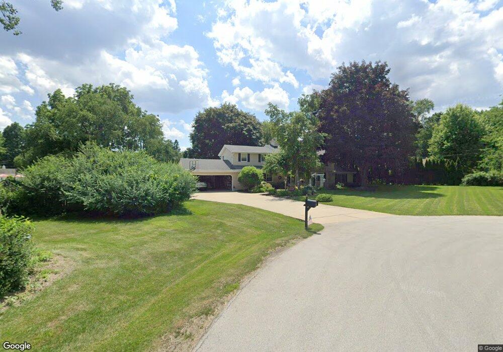
16035 Linnan Ct Brookfield, WI 53005
Estimated Value: $585,000 - $764,000
4
Beds
3
Baths
3,215
Sq Ft
$209/Sq Ft
Est. Value
About This Home
This home is located at 16035 Linnan Ct, Brookfield, WI 53005 and is currently estimated at $672,897, approximately $209 per square foot. 16035 Linnan Ct is a home located in Waukesha County with nearby schools including Dixon Elementary School, Wisconsin Hills Middle School, and Brookfield Central High School.
Ownership History
Date
Name
Owned For
Owner Type
Purchase Details
Closed on
Jun 16, 2003
Sold by
Watts Keith A and Watts Katharine E
Bought by
Bartosiak Jeffrey G and Bartosiak Kimber L
Current Estimated Value
Home Financials for this Owner
Home Financials are based on the most recent Mortgage that was taken out on this home.
Original Mortgage
$250,000
Outstanding Balance
$98,261
Interest Rate
4.37%
Mortgage Type
Purchase Money Mortgage
Estimated Equity
$574,636
Create a Home Valuation Report for This Property
The Home Valuation Report is an in-depth analysis detailing your home's value as well as a comparison with similar homes in the area
Home Values in the Area
Average Home Value in this Area
Purchase History
| Date | Buyer | Sale Price | Title Company |
|---|---|---|---|
| Bartosiak Jeffrey G | $350,000 | -- |
Source: Public Records
Mortgage History
| Date | Status | Borrower | Loan Amount |
|---|---|---|---|
| Open | Bartosiak Jeffrey G | $250,000 |
Source: Public Records
Tax History Compared to Growth
Tax History
| Year | Tax Paid | Tax Assessment Tax Assessment Total Assessment is a certain percentage of the fair market value that is determined by local assessors to be the total taxable value of land and additions on the property. | Land | Improvement |
|---|---|---|---|---|
| 2024 | $5,974 | $533,100 | $125,000 | $408,100 |
| 2023 | $5,978 | $533,100 | $125,000 | $408,100 |
| 2022 | $5,933 | $414,300 | $120,000 | $294,300 |
| 2021 | $6,285 | $414,300 | $120,000 | $294,300 |
| 2020 | $6,551 | $414,300 | $120,000 | $294,300 |
| 2019 | $6,295 | $414,300 | $120,000 | $294,300 |
| 2018 | $6,838 | $436,100 | $130,000 | $306,100 |
| 2017 | $6,830 | $436,100 | $130,000 | $306,100 |
| 2016 | $6,929 | $436,100 | $130,000 | $306,100 |
| 2015 | $6,886 | $436,100 | $130,000 | $306,100 |
| 2014 | $7,144 | $436,100 | $130,000 | $306,100 |
| 2013 | $7,144 | $436,100 | $130,000 | $306,100 |
Source: Public Records
Map
Nearby Homes
- 1775 Melody Ln
- 1820 Melody Ln
- 15305 Cascade Dr
- 1280 Spring Dr
- 15260 Marilyn Dr
- 16570 W North Ave
- 2285 N 166th St
- 1118 Pilgrim Pkwy Unit 1118
- 1134 Pilgrim Pkwy Unit 1134
- 15300 Fieldstone Dr
- 15555 Esser Ct
- 14625 Club Dr
- 17360 Patricia Ln
- 1980 Lone Oak Cir E
- 820 Pilgrim Pkwy Unit C
- 1005 Lone Tree Rd
- 2455 Mound Zion Woods Ct
- 17835 Gebhardt Rd
- 2660 N Calhoun Rd
- 1940 Elm Terrace Cir
- 1760 Eileen Ct
- 1740 Eileen Ct
- 16040 Gebhardt Rd
- 1820 Eileen Ct
- 16000 Gebhardt Rd
- 16120 Gebhardt Rd
- 1835 Melody Ln
- 1840 Eileen Ct
- 1765 Eileen Ct
- 1745 Eileen Ct
- 1770 Melody Ln
- 1825 Eileen Ct
- 16160 Gebhardt Rd
- 1865 Melody Ln
- 1750 Melody Ln
- 1845 Eileen Ct
- 1840 Melody Ln
- 1860 Eileen Ct
- 16005 Gebhardt Rd
- 16105 Gebhardt Rd