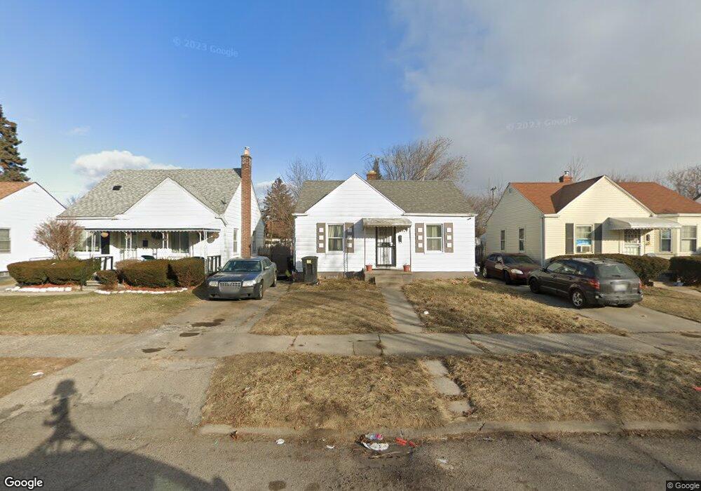
16045 Liberal St Detroit, MI 48205
Regent Park NeighborhoodEstimated Value: $58,000 - $111,643
2
Beds
1
Bath
672
Sq Ft
$109/Sq Ft
Est. Value
About This Home
This home is located at 16045 Liberal St, Detroit, MI 48205 and is currently estimated at $73,161, approximately $108 per square foot. 16045 Liberal St is a home located in Wayne County with nearby schools including Edward 'Duke' Ellington Conservatory of Music and Art, Charles L. Spain Elementary-Middle School, and Denby High School.
Ownership History
Date
Name
Owned For
Owner Type
Purchase Details
Closed on
Nov 30, 2016
Sold by
Sabree Eric R
Bought by
Renaissance Mc Llc
Current Estimated Value
Purchase Details
Closed on
Dec 19, 2012
Sold by
United Community Housing Coalition
Bought by
Bare Angela
Purchase Details
Closed on
Nov 15, 2012
Sold by
Wayne County Treasurer
Bought by
United Community Housing Coalition
Purchase Details
Closed on
Aug 19, 2008
Sold by
Citimortgage Inc
Bought by
Bryce Peters Financial Corp
Purchase Details
Closed on
Aug 29, 2007
Sold by
Ploe Catherine
Bought by
Citimortgage Inc
Create a Home Valuation Report for This Property
The Home Valuation Report is an in-depth analysis detailing your home's value as well as a comparison with similar homes in the area
Home Values in the Area
Average Home Value in this Area
Purchase History
| Date | Buyer | Sale Price | Title Company |
|---|---|---|---|
| Renaissance Mc Llc | $1,600 | None Available | |
| Bare Angela | -- | None Available | |
| United Community Housing Coalition | $825 | None Available | |
| Bryce Peters Financial Corp | -- | First American Title | |
| Citimortgage Inc | $7,484 | None Available |
Source: Public Records
Tax History Compared to Growth
Tax History
| Year | Tax Paid | Tax Assessment Tax Assessment Total Assessment is a certain percentage of the fair market value that is determined by local assessors to be the total taxable value of land and additions on the property. | Land | Improvement |
|---|---|---|---|---|
| 2025 | $849 | $17,100 | $0 | $0 |
| 2024 | $849 | $17,500 | $0 | $0 |
| 2023 | $823 | $14,300 | $0 | $0 |
| 2022 | $870 | $13,100 | $0 | $0 |
| 2021 | $849 | $9,000 | $0 | $0 |
| 2020 | $849 | $7,700 | $0 | $0 |
| 2019 | $838 | $7,500 | $0 | $0 |
| 2018 | $748 | $6,600 | $0 | $0 |
| 2017 | $138 | $7,300 | $0 | $0 |
| 2016 | $580 | $5,600 | $0 | $0 |
| 2015 | $560 | $5,600 | $0 | $0 |
| 2013 | $626 | $6,255 | $0 | $0 |
| 2010 | -- | $23,833 | $1,058 | $22,775 |
Source: Public Records
Map
Nearby Homes
- 16077 Liberal St
- 16100 Liberal St
- 16052 Tacoma St
- 16121 Manning St
- 16221 Liberal St
- 16232 Manning St
- 15848 Liberal St
- 16011 Tacoma St
- 16236 Liberal St
- 16073 Tacoma St
- 15834 Manning St
- 15834 Liberal St
- 16209 Tacoma St
- 16274 Liberal St
- 16235 Tacoma St
- 16216 E State Fair St
- 15850 E State Fair St
- 16019 E State Fair St
- 15693 Liberal St
- 15919 E State Fair St
- 16037 Liberal St
- 16053 Liberal St
- 16029 Liberal St
- 16061 Liberal St
- 16069 Liberal St Unit Bldg-Unit
- 16069 Liberal St
- 16042 Manning St
- 16050 Manning St
- 16034 Manning St
- 16011 Liberal St
- 16058 Manning St
- 16021 Liberal St
- 16026 Manning St
- 16085 Liberal St
- 16066 Manning St
- 16036 Liberal St
- 16052 Liberal St
- 16018 Manning St
- 16001 Liberal St
- 16030 Liberal St