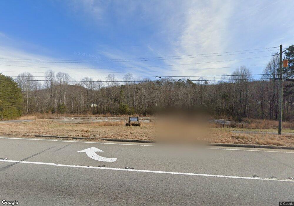
1609 Highway 129 S Cleveland, GA 30528
Estimated Value: $319,535 - $397,000
2
Beds
--
Bath
12,920
Sq Ft
$28/Sq Ft
Est. Value
About This Home
This home is located at 1609 Highway 129 S, Cleveland, GA 30528 and is currently estimated at $358,268, approximately $27 per square foot. 1609 Highway 129 S is a home located in White County with nearby schools including White County 9th Grade Academy, Tesnatee Gap Elementary (Old White County Intermediate), and Jack P. Nix Elementary School.
Ownership History
Date
Name
Owned For
Owner Type
Purchase Details
Closed on
Aug 30, 2022
Sold by
Kiwanis Club Of Cleveland Georgia Inc
Bought by
Craven Roger
Current Estimated Value
Purchase Details
Closed on
Jun 18, 2008
Sold by
Ham Fred
Bought by
Department Of Transportation
Purchase Details
Closed on
Jun 12, 2008
Sold by
Hoy Thomas Shane
Bought by
Georgia Department Of Transpor
Create a Home Valuation Report for This Property
The Home Valuation Report is an in-depth analysis detailing your home's value as well as a comparison with similar homes in the area
Home Values in the Area
Average Home Value in this Area
Purchase History
| Date | Buyer | Sale Price | Title Company |
|---|---|---|---|
| Craven Roger | $280,000 | -- | |
| Department Of Transportation | -- | -- | |
| Georgia Department Of Transpor | -- | -- |
Source: Public Records
Tax History Compared to Growth
Tax History
| Year | Tax Paid | Tax Assessment Tax Assessment Total Assessment is a certain percentage of the fair market value that is determined by local assessors to be the total taxable value of land and additions on the property. | Land | Improvement |
|---|---|---|---|---|
| 2025 | $2,883 | $111,380 | $111,380 | $0 |
| 2024 | $2,883 | $111,380 | $111,380 | $0 |
| 2023 | $3,089 | $111,380 | $111,380 | $0 |
| 2022 | $3,106 | $107,920 | $107,920 | $0 |
| 2021 | $3,532 | $107,920 | $107,920 | $0 |
| 2020 | $3,678 | $107,920 | $107,920 | $0 |
| 2019 | $3,694 | $107,920 | $107,920 | $0 |
| 2018 | $3,694 | $107,920 | $107,920 | $0 |
| 2017 | $3,559 | $107,920 | $107,920 | $0 |
| 2016 | $2,114 | $75,544 | $75,544 | $0 |
| 2015 | $2,017 | $188,860 | $75,544 | $0 |
| 2014 | $2,452 | $229,140 | $0 | $0 |
Source: Public Records
Map
Nearby Homes
- 0 Underwood Farm Rd Unit 10620914
- 329 Leisure Acres Dr
- 488 Old Highway 75 S
- 179 Garrison Dr
- 0 Grand View Dr Unit 10479899
- 611 Highway 75 S
- 256 Dogwood Ln
- 61 Pine Ln
- 0 Old Highway 75 S Unit 7656742
- 152 Grand View Dr
- 221 Grand View Dr
- 1335 Daybreak Rd
- 1407 Daybreak Rd
- 150 Hardwood Dr
- 250 Truelove Rd
- 0 Daybreak Rd Unit TR 4 10598729
- 0 Daybreak Rd Unit 10640786
- 0 Daybreak Rd Unit 10388898
- 109 Driskell Rd
- 0 Bryant St
- 1900 Highway 129 S
- 109 Mossy Trail Unit 7
- 109 Mossy Trail
- 133 Mossy Trail
- 1641 S Highway 129
- 1539 Highway 129 S
- 1539 Hwy 129 S
- 157 Mossy Trail
- 69 Mossy Trail
- 167 Mossy Trail
- 1612 Highway 129 S
- 71 Mossy Trail
- 0 Warehouse Dr Unit 8374630
- 0 Warehouse Dr Unit 7207111
- 0 Warehouse Dr Unit 3061109
- 55 Mossy Trail
- 98 Mossy Trail
- 0 Highway 129 and Hope Dr Unit 7106647
- 65 Warehouse Dr
- 170 Mossy Trail Unit 11