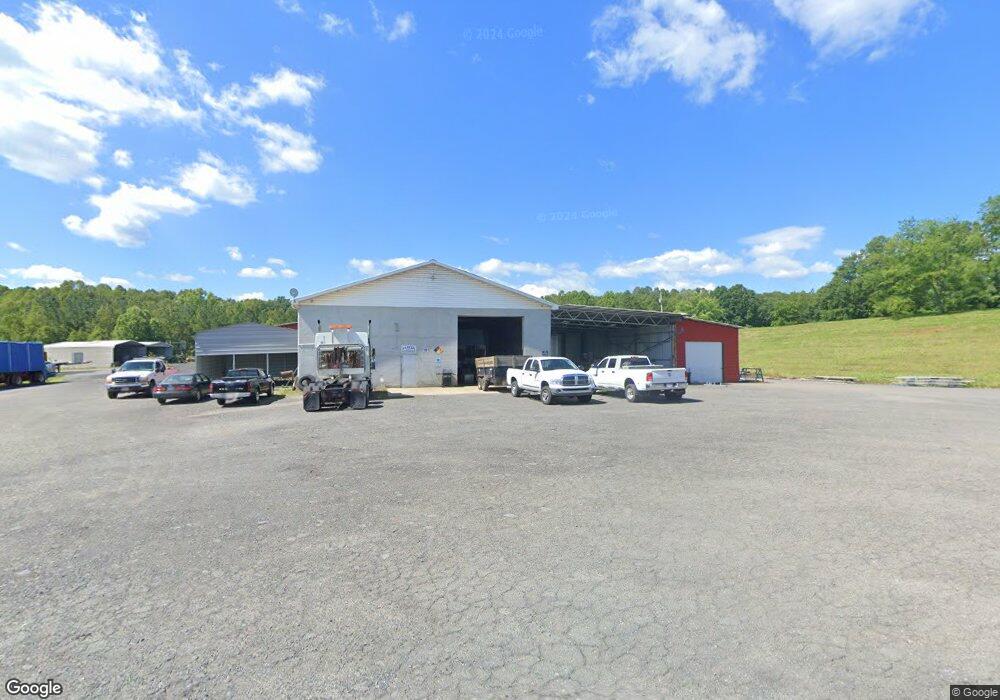
161 Peru Ln Mount Airy, NC 27030
--
Bed
--
Bath
4,500
Sq Ft
5.59
Acres
About This Home
This home is located at 161 Peru Ln, Mount Airy, NC 27030. 161 Peru Ln is a home located in Surry County with nearby schools including White Plains Elementary School, J. Sam Gentry Middle School, and North Surry High School.
Ownership History
Date
Name
Owned For
Owner Type
Purchase Details
Closed on
May 26, 2022
Sold by
Ararat Key Tree Llc
Bought by
Ararat Key Tree Llc
Purchase Details
Closed on
May 23, 2012
Sold by
Guynn Theodore Martin and Guynn Jami C
Bought by
Ararat Key Tree Llc
Home Financials for this Owner
Home Financials are based on the most recent Mortgage that was taken out on this home.
Original Mortgage
$334,609
Interest Rate
3.88%
Mortgage Type
Commercial
Purchase Details
Closed on
Dec 1, 1996
Create a Home Valuation Report for This Property
The Home Valuation Report is an in-depth analysis detailing your home's value as well as a comparison with similar homes in the area
Home Values in the Area
Average Home Value in this Area
Purchase History
| Date | Buyer | Sale Price | Title Company |
|---|---|---|---|
| Ararat Key Tree Llc | -- | None Listed On Document | |
| Ararat Key Tree Llc | -- | None Available | |
| -- | -- | -- |
Source: Public Records
Mortgage History
| Date | Status | Borrower | Loan Amount |
|---|---|---|---|
| Previous Owner | Ararat Key Tree Llc | $334,609 |
Source: Public Records
Tax History Compared to Growth
Tax History
| Year | Tax Paid | Tax Assessment Tax Assessment Total Assessment is a certain percentage of the fair market value that is determined by local assessors to be the total taxable value of land and additions on the property. | Land | Improvement |
|---|---|---|---|---|
| 2025 | $2,121 | $377,500 | $176,090 | $201,410 |
| 2024 | $2,083 | $337,520 | $167,700 | $169,820 |
| 2023 | $2,045 | $337,520 | $167,700 | $169,820 |
| 2022 | $1,725 | $337,520 | $167,700 | $169,820 |
| 2021 | $1,757 | $284,700 | $178,200 | $106,500 |
| 2020 | $1,851 | $284,700 | $178,200 | $106,500 |
| 2019 | $1,851 | $284,700 | $0 | $0 |
| 2018 | $1,817 | $284,700 | $0 | $0 |
| 2017 | $1,851 | $284,700 | $0 | $0 |
| 2016 | $1,851 | $284,700 | $0 | $0 |
| 2013 | -- | $289,100 | $0 | $0 |
Source: Public Records
Map
Nearby Homes
- 112 Balcony Ln
- 151 Siloam Rd
- 123 Old Brintle St
- 000 Old Childress Ave
- TBD Marion Dr
- 0 Marion Dr
- 1520 Edgewood Dr
- 153 Fresh Water Ln
- 366 Sheep Farm Rd
- 130 Williamson Ave
- 235 Hunter Ridge Ln
- Tbd Farmbrook Rd
- 01 Farmbrook Rd
- 000000 Farmbrook Rd
- 00000 Farmbrook Rd
- 02 Farmbrook Rd
- 00 Farmbrook Rd
- 00 Nancy Dr
- 00 S Andy Griffith Pkwy
- 250 High Meadow Trail
- 190 Special K Trail
- 189 Special K Trail
- 3118 Park Dr
- 269 Sidden St
- 301 Sidden St
- 3155 Park Dr
- 3158 Park Dr
- 141 Sidden St
- 3164 Park Dr
- 133 Sidden St
- 00 Walnut Ridge Ln
- 114 Branscome Trail
- 3193 Park Dr
- 3180 Park Dr
- 154 Canine Trail
- 322 High Ridge Rd
- 405 Sidden St
- 104 Creekwood Ln
- 3190 Park Dr
- 3198 Park Dr