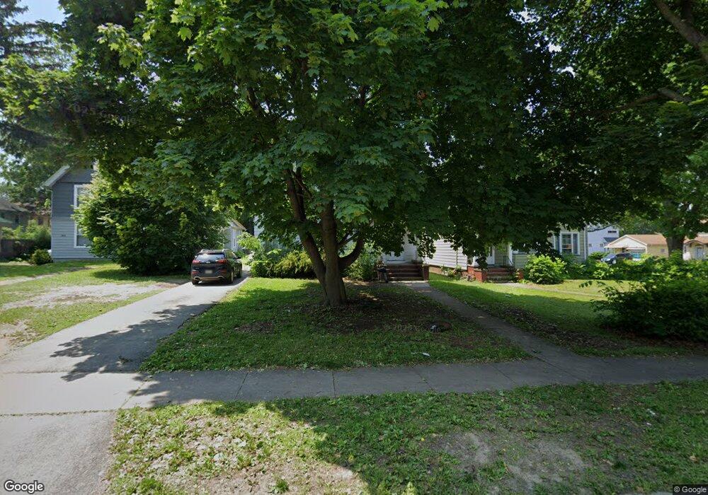
161 Thurston Rd Unit 163 Rochester, NY 14619
19th Ward NeighborhoodEstimated Value: $165,000 - $224,923
4
Beds
2
Baths
2,120
Sq Ft
$90/Sq Ft
Est. Value
About This Home
This home is located at 161 Thurston Rd Unit 163, Rochester, NY 14619 and is currently estimated at $190,481, approximately $89 per square foot. 161 Thurston Rd Unit 163 is a home located in Monroe County with nearby schools including John Walton Spencer School No. 16, Adlai E. Stevenson School 29, and School 19 Dr Charles T Lunsford.
Ownership History
Date
Name
Owned For
Owner Type
Purchase Details
Closed on
Nov 18, 2010
Sold by
Frede Albert W
Bought by
Lewis Kasondra
Current Estimated Value
Home Financials for this Owner
Home Financials are based on the most recent Mortgage that was taken out on this home.
Original Mortgage
$71,558
Outstanding Balance
$47,165
Interest Rate
4.25%
Mortgage Type
FHA
Estimated Equity
$143,316
Create a Home Valuation Report for This Property
The Home Valuation Report is an in-depth analysis detailing your home's value as well as a comparison with similar homes in the area
Home Values in the Area
Average Home Value in this Area
Purchase History
| Date | Buyer | Sale Price | Title Company |
|---|---|---|---|
| Lewis Kasondra | $73,450 | None Available |
Source: Public Records
Mortgage History
| Date | Status | Borrower | Loan Amount |
|---|---|---|---|
| Open | Lewis Kasondra | $71,558 |
Source: Public Records
Tax History Compared to Growth
Tax History
| Year | Tax Paid | Tax Assessment Tax Assessment Total Assessment is a certain percentage of the fair market value that is determined by local assessors to be the total taxable value of land and additions on the property. | Land | Improvement |
|---|---|---|---|---|
| 2024 | $2,303 | $181,400 | $10,400 | $171,000 |
| 2023 | $1,498 | $91,700 | $8,100 | $83,600 |
| 2022 | $1,325 | $91,700 | $8,100 | $83,600 |
| 2021 | $1,298 | $91,700 | $8,100 | $83,600 |
| 2020 | $1,257 | $91,700 | $8,100 | $83,600 |
| 2019 | $1,132 | $73,500 | $8,100 | $65,400 |
| 2018 | $2,858 | $73,500 | $8,100 | $65,400 |
| 2017 | $3,992 | $73,500 | $8,100 | $65,400 |
| 2016 | $1,132 | $73,500 | $8,100 | $65,400 |
| 2015 | -- | $73,500 | $8,100 | $65,400 |
| 2014 | -- | $73,500 | $8,100 | $65,400 |
Source: Public Records
Map
Nearby Homes
- 119-121 Thurston Rd
- 91-97 Thurston Rd
- 56 Chili Terrace
- 132-134 Salina St
- 101 Roxborough Rd
- 127 Devonshire Ct
- 152 Inglewood Dr
- 66 Ringle St
- 564 Chili Ave
- 29-33 Westgate Terrace
- 469 Arnett Blvd
- 457-459 Chili Ave
- 51 Penhurst St
- 456-458 Chili Ave
- 215 Lincoln Ave
- 409 Arnett Blvd
- 3 Ravenwood Ave
- 66 Briggs St
- 30 Woodbine Ave
- 104 Hobart St
- 161-163 Thurston Rd
- 155 Thurston Rd
- 165 Thurston Rd
- 661 Arnett Blvd
- 667 Arnett Blvd
- 631 Arnett Blvd
- 675 Arnett Blvd
- 22 Roxborough Rd
- 181 Thurston Rd
- 137 Thurston Rd
- 10 Roxborough Rd
- 627 Arnett Blvd Unit 629
- 28 Roxborough Rd
- 681 Arnett Blvd
- 133 Thurston Rd
- 660 Arnett Blvd
- 34 Roxborough Rd
- 623 Arnett Blvd Unit 625
- 666 Arnett Blvd
- 685 Arnett Blvd
