1610 High Sierra Dr Foristell, MO 63348
Estimated Value: $393,000 - $502,000
3
Beds
3
Baths
1,543
Sq Ft
$287/Sq Ft
Est. Value
About This Home
This home is located at 1610 High Sierra Dr, Foristell, MO 63348 and is currently estimated at $443,068, approximately $287 per square foot. 1610 High Sierra Dr is a home located in St. Charles County with nearby schools including Wabash Elementary.
Ownership History
Date
Name
Owned For
Owner Type
Purchase Details
Closed on
Oct 30, 2012
Sold by
Franzi Fulvio I and Franzi Colleen L
Bought by
Olson Randall and Goforth Tonya
Current Estimated Value
Home Financials for this Owner
Home Financials are based on the most recent Mortgage that was taken out on this home.
Original Mortgage
$201,520
Outstanding Balance
$139,320
Interest Rate
3.4%
Mortgage Type
Purchase Money Mortgage
Estimated Equity
$303,748
Purchase Details
Closed on
Apr 25, 2001
Sold by
Gilmore Gerald Wayne and Gilmore Myra G
Bought by
Franzi Fulvio I and Franzi Colleen L
Home Financials for this Owner
Home Financials are based on the most recent Mortgage that was taken out on this home.
Original Mortgage
$105,000
Interest Rate
6.83%
Create a Home Valuation Report for This Property
The Home Valuation Report is an in-depth analysis detailing your home's value as well as a comparison with similar homes in the area
Home Values in the Area
Average Home Value in this Area
Purchase History
| Date | Buyer | Sale Price | Title Company |
|---|---|---|---|
| Olson Randall | $204,000 | None Available | |
| Franzi Fulvio I | -- | -- |
Source: Public Records
Mortgage History
| Date | Status | Borrower | Loan Amount |
|---|---|---|---|
| Open | Olson Randall | $201,520 | |
| Previous Owner | Franzi Fulvio I | $105,000 |
Source: Public Records
Tax History Compared to Growth
Tax History
| Year | Tax Paid | Tax Assessment Tax Assessment Total Assessment is a certain percentage of the fair market value that is determined by local assessors to be the total taxable value of land and additions on the property. | Land | Improvement |
|---|---|---|---|---|
| 2025 | $3,521 | $59,282 | -- | -- |
| 2023 | $3,521 | $55,546 | $0 | $0 |
| 2022 | $3,257 | $47,944 | $0 | $0 |
| 2021 | $3,260 | $47,944 | $0 | $0 |
| 2020 | $3,376 | $47,620 | $0 | $0 |
| 2019 | $3,133 | $47,620 | $0 | $0 |
| 2018 | $3,011 | $43,607 | $0 | $0 |
| 2017 | $3,010 | $43,607 | $0 | $0 |
| 2016 | $3,003 | $41,682 | $0 | $0 |
| 2015 | $2,556 | $35,950 | $0 | $0 |
| 2014 | $2,174 | $32,818 | $0 | $0 |
Source: Public Records
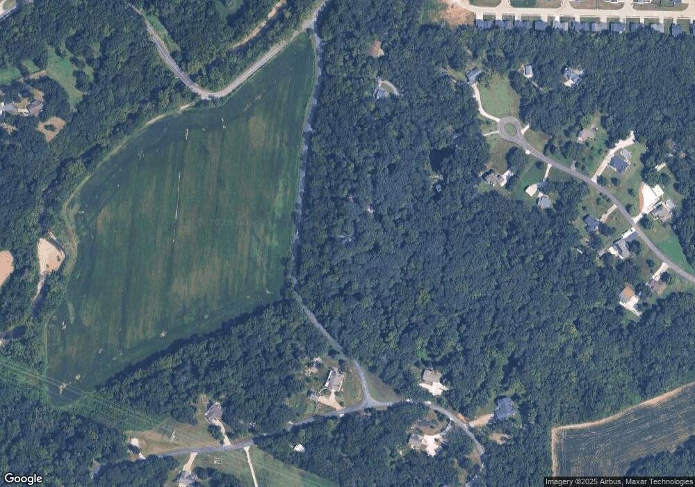
Map
Nearby Homes
- 1605 High Sierra Dr
- 1159 Marathon Dr
- 1158 Marathon Dr
- 1156 Marathon Dr
- 1160 Marathon Dr
- 1157 Marathon Dr
- 1155 Marathon Dr
- 1154 Marathon Dr
- 1162 Marathon Dr
- 26 Madre Ct
- 1813 Travis Ct
- 1120 Marathon Dr
- 1115 Jaxson Dr
- 1130 Bronze Dr
- 1107 Marathon Dr
- 409 Triathlon Dr
- 560 Cook Farm Dr
- 91 Kinker Dr
- 0 Unknown Unit MIS22063488
- 0 Unknown Unit MIS22063456
- 1618 High Sierra Dr
- 1602 High Sierra Dr
- 2768 Clairen Dr
- 2756 Clairen Dr
- 1626 High Sierra Dr
- 2744 Clairen Dr
- 1585 Madre Dr
- 2 Madre Ct
- 1580 Madre Dr
- 1634 High Sierra Dr
- 2780 Clairen Dr
- 5 Madre Ct
- 2732 Clairen Dr
- 1571 Madre Dr
- 2720 Clairen Dr
- 10 Madre Ct
- 2735 Clairen Dr
- 2755 Clairen Dr
- 18 Madre Ct
- 1115 Bronze Dr