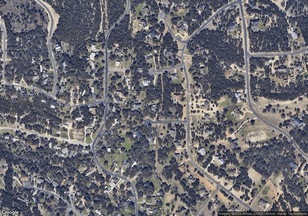
162 Stockman Cir Spring Branch, TX 78070
Estimated Value: $473,000 - $579,000
3
Beds
2
Baths
2,040
Sq Ft
$256/Sq Ft
Est. Value
About This Home
This home is located at 162 Stockman Cir, Spring Branch, TX 78070 and is currently estimated at $522,741, approximately $256 per square foot. 162 Stockman Cir is a home located in Comal County with nearby schools including Arlon R Seay Elementary School, Spring Branch Middle School, and Smithson Valley High School.
Ownership History
Date
Name
Owned For
Owner Type
Purchase Details
Closed on
Aug 17, 2018
Sold by
Fisher Alma M and Fisher Kenneth P
Bought by
Wallace Tom L and Wallace Sandi N
Current Estimated Value
Home Financials for this Owner
Home Financials are based on the most recent Mortgage that was taken out on this home.
Original Mortgage
$258,400
Outstanding Balance
$224,410
Interest Rate
4.5%
Mortgage Type
Purchase Money Mortgage
Estimated Equity
$298,331
Purchase Details
Closed on
Sep 25, 2015
Sold by
Jakob Robert and Jakob Kirsten
Bought by
Fisher Kenneth P and Fisher Alma M
Home Financials for this Owner
Home Financials are based on the most recent Mortgage that was taken out on this home.
Original Mortgage
$220,000
Interest Rate
3.99%
Mortgage Type
New Conventional
Create a Home Valuation Report for This Property
The Home Valuation Report is an in-depth analysis detailing your home's value as well as a comparison with similar homes in the area
Home Values in the Area
Average Home Value in this Area
Purchase History
| Date | Buyer | Sale Price | Title Company |
|---|---|---|---|
| Wallace Tom L | -- | Ort | |
| Fisher Kenneth P | -- | Ttt |
Source: Public Records
Mortgage History
| Date | Status | Borrower | Loan Amount |
|---|---|---|---|
| Open | Wallace Tom L | $258,400 | |
| Previous Owner | Fisher Kenneth P | $220,000 |
Source: Public Records
Tax History Compared to Growth
Tax History
| Year | Tax Paid | Tax Assessment Tax Assessment Total Assessment is a certain percentage of the fair market value that is determined by local assessors to be the total taxable value of land and additions on the property. | Land | Improvement |
|---|---|---|---|---|
| 2025 | $2,058 | $408,845 | -- | -- |
| 2024 | $2,058 | $371,677 | -- | -- |
| 2023 | $2,058 | $337,888 | $0 | $0 |
| 2022 | $3,318 | $307,171 | -- | -- |
| 2021 | $5,483 | $347,570 | $77,630 | $269,940 |
| 2020 | $5,161 | $253,860 | $53,010 | $200,850 |
| 2019 | $5,431 | $265,240 | $53,010 | $212,230 |
| 2018 | $5,030 | $247,290 | $53,010 | $194,280 |
| 2017 | $4,987 | $247,200 | $36,300 | $210,900 |
| 2016 | $4,546 | $225,360 | $27,170 | $198,190 |
| 2015 | $3,204 | $214,080 | $27,170 | $186,910 |
| 2014 | $3,204 | $204,760 | $27,170 | $177,590 |
Source: Public Records
Map
Nearby Homes
- 629 Windmill Ranch Rd
- 0 Ahern Creek Dr
- 1476 Flightline
- 288 Sonata Canyon
- 21525 State Highway 46 W
- 329 Chorus Canyon
- 811 Stirrup Dr
- 324 Rhapsody Ridge
- 333 Canon Hill Dr
- 225 Treble Knoll
- 221 Treble Knoll
- 313 Canon Hill Dr
- 513 Concerto Ct
- 537 Allegro Edge
- 1350 Old Boerne Rd
- 316 Ballad Bluffs
- 164 Grey Bluff
- 881 Lantana Ridge
- 960 Elm Valley Dr
- 1208 Loranca Dr
- 184 Stockman Cir
- 1113 Stirrup Dr
- 1139 Stirrup Dr
- 181 Bridle Path
- 1163 Stirrup Dr
- 1081 Stirrup Dr
- 163 Stockman Cir
- 185 Stockman Cir
- 190 Bridle Path
- 1065 Stirrup Dr
- 630 Farhills Dr
- 0 Farhills Dr
- 166 Bridle Path
- 1122 Stirrup Dr
- 1168 Stirrup Dr
- 818 Farhills Dr
- 1100 Stirrup Dr
- 1197 Stirrup Dr
- 1053 Stirrup Dr
- 846 Farhills Dr
