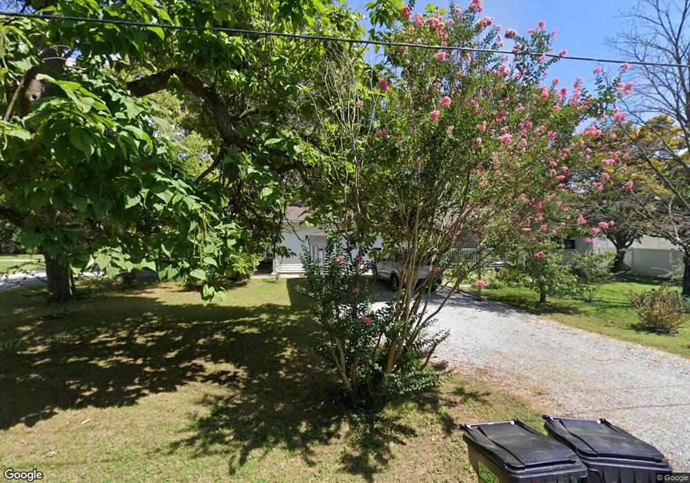
1620 Murphy St Harrisburg, IL 62946
Estimated Value: $87,000 - $119,000
--
Bed
--
Bath
--
Sq Ft
0.38
Acres
About This Home
This home is located at 1620 Murphy St, Harrisburg, IL 62946 and is currently estimated at $106,048. 1620 Murphy St is a home located in Saline County with nearby schools including East Side Intermediate School, Harrisburg Middle School, and Harrisburg High School.
Ownership History
Date
Name
Owned For
Owner Type
Purchase Details
Closed on
Jun 8, 2021
Sold by
Cox Rickey Wayne and Spurlock Robbie M
Bought by
Spurlock Robbie M and Cox Rickey Wayne
Current Estimated Value
Purchase Details
Closed on
Aug 1, 2005
Sold by
Cox Rickey Wayne
Bought by
Spurlock Robbie N
Create a Home Valuation Report for This Property
The Home Valuation Report is an in-depth analysis detailing your home's value as well as a comparison with similar homes in the area
Home Values in the Area
Average Home Value in this Area
Purchase History
| Date | Buyer | Sale Price | Title Company |
|---|---|---|---|
| Spurlock Robbie M | -- | None Listed On Document | |
| Spurlock Robbie N | -- | None Available |
Source: Public Records
Tax History Compared to Growth
Tax History
| Year | Tax Paid | Tax Assessment Tax Assessment Total Assessment is a certain percentage of the fair market value that is determined by local assessors to be the total taxable value of land and additions on the property. | Land | Improvement |
|---|---|---|---|---|
| 2024 | $2,376 | $32,540 | $2,034 | $30,506 |
| 2023 | $2,132 | $27,581 | $1,724 | $25,857 |
| 2022 | $2,066 | $26,000 | $1,625 | $24,375 |
| 2021 | $2,157 | $26,803 | $1,675 | $25,128 |
| 2020 | $2,114 | $26,000 | $1,625 | $24,375 |
| 2019 | $2,154 | $26,000 | $1,625 | $24,375 |
| 2018 | $1,088 | $26,000 | $1,625 | $24,375 |
| 2017 | $2,144 | $26,000 | $1,625 | $24,375 |
| 2016 | $21 | $26,000 | $1,625 | $24,375 |
| 2015 | -- | $26,000 | $1,625 | $24,375 |
| 2014 | $1,958 | $26,000 | $1,625 | $24,375 |
| 2013 | $1,958 | $26,000 | $1,625 | $24,375 |
| 2012 | $1,958 | $26,000 | $1,625 | $24,375 |
Source: Public Records
Map
Nearby Homes
- 1120 Dorris Heights Rd
- 204 N Sherman St
- 111 W Midkiff St
- 430 W Church St
- 205 S Shaw St
- 216 W Poplar St
- 504 W South St
- 202 W Poplar St
- 104 Hickory St
- 305 W Church St
- 405 S Shaw St
- 827 W Raymond St
- 0 Ron Crank Dr Unit EB441387
- 210 W Lincoln St
- 305 W Lincoln St
- 215 S Jackson St
- 500 W Sloan St
- 311 W Poplar St
- 18 S Mill St
- 520 S Mckinley St
- 1600 Murphy St
- 1621 Brush St
- 1212 Dorris Heights Rd
- 1200 Dorris Heights Rd
- 1121 Cedar St
- 1600 Brush St
- 1214 Cedar St
- 1312 Dorris Heights Rd
- 1113 Cedar St
- 1324 Dorris Heights Rd
- 1310 Dorris Heights Rd
- 1101 Cedar St
- 1315 Dorris Heights Rd
- 1615 Grape St
- 1102 Cedar St
- 1205 Dorris Heights Rd
- 1402 Dorris Heights Rd
- 1320 Dorris Heights Rd
- 1100 Dorris Heights Rd
- 1221 Dorris Heights Rd