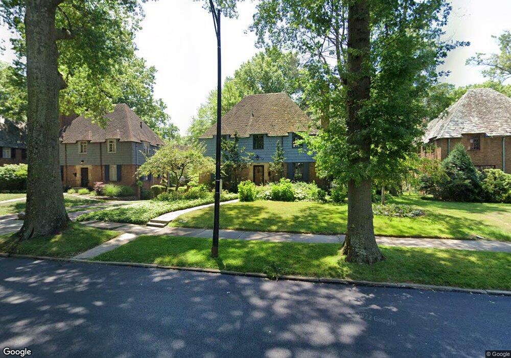
16200 Brewster Rd Cleveland, OH 44112
Estimated Value: $206,784 - $242,000
4
Beds
4
Baths
2,180
Sq Ft
$105/Sq Ft
Est. Value
About This Home
This home is located at 16200 Brewster Rd, Cleveland, OH 44112 and is currently estimated at $228,946, approximately $105 per square foot. 16200 Brewster Rd is a home located in Cuyahoga County with nearby schools including Shaw High School, Apex Academy, and Lutheran High School East.
Ownership History
Date
Name
Owned For
Owner Type
Purchase Details
Closed on
Dec 18, 2024
Sold by
Harmon James R and Schmitt Don G
Bought by
Harmon Schmitt Family Trust and Harmon
Current Estimated Value
Purchase Details
Closed on
Aug 14, 2014
Sold by
Schmitt Don G and Harmon James R
Bought by
Schmitt Don G and Harmon James R
Purchase Details
Closed on
Aug 10, 1976
Sold by
Laney Ralph M
Bought by
Schmitt Don G
Purchase Details
Closed on
Dec 3, 1975
Sold by
Goldblatt Louis
Bought by
Laney Ralph M
Purchase Details
Closed on
Nov 5, 1975
Sold by
Laney Ralph M and Laney Ingrid
Bought by
Goldblatt Louis
Purchase Details
Closed on
Jan 1, 1975
Bought by
Laney Ralph M and Laney Ingrid
Create a Home Valuation Report for This Property
The Home Valuation Report is an in-depth analysis detailing your home's value as well as a comparison with similar homes in the area
Home Values in the Area
Average Home Value in this Area
Purchase History
| Date | Buyer | Sale Price | Title Company |
|---|---|---|---|
| Harmon Schmitt Family Trust | -- | None Listed On Document | |
| Harmon Schmitt Family Trust | -- | None Listed On Document | |
| Schmitt Don G | -- | Attorney | |
| Schmitt Don G | $48,800 | -- | |
| Laney Ralph M | -- | -- | |
| Goldblatt Louis | -- | -- | |
| Laney Ralph M | -- | -- |
Source: Public Records
Tax History Compared to Growth
Tax History
| Year | Tax Paid | Tax Assessment Tax Assessment Total Assessment is a certain percentage of the fair market value that is determined by local assessors to be the total taxable value of land and additions on the property. | Land | Improvement |
|---|---|---|---|---|
| 2024 | $3,148 | $59,220 | $10,850 | $48,370 |
| 2023 | $3,460 | $47,430 | $8,580 | $38,850 |
| 2022 | $3,484 | $47,430 | $8,580 | $38,850 |
| 2021 | $3,454 | $47,430 | $8,580 | $38,850 |
| 2020 | $3,378 | $43,510 | $7,880 | $35,630 |
| 2019 | $3,533 | $124,300 | $22,500 | $101,800 |
| 2018 | $3,412 | $43,510 | $7,880 | $35,630 |
| 2017 | $3,338 | $43,930 | $4,550 | $39,380 |
| 2016 | $3,312 | $43,930 | $4,550 | $39,380 |
| 2015 | $3,684 | $43,930 | $4,550 | $39,380 |
| 2014 | $3,684 | $51,700 | $5,360 | $46,340 |
Source: Public Records
Map
Nearby Homes
- 2067 Mount Vernon Blvd
- 15959 Glynn Rd
- 16252 Oakhill Rd
- 2186 Mount Vernon Blvd
- 0 Wyatt Rd
- 15724 Wyatt Rd
- 16263 Oakhill Rd
- 15908 Hazel Rd
- 2188 N Taylor Rd
- 2256 N Taylor Rd
- 2195 N Taylor Rd
- 1073 Hereford Rd
- 1148 Rutherford Rd
- 2257 N Taylor Rd
- 2090 Newbury Dr
- 2145 N Taylor Rd
- 2137 N Taylor Rd
- 15703 Hazel Rd
- 1159 Brandon Rd
- 3153 Eastwick Dr
- 16224 Brewster Rd
- 16070 Henley Rd
- 16058 Henley Rd
- 16233 Cleviden Rd
- 16217 Cleviden Rd
- 16201 Cleviden Rd
- 16050 Henley Rd
- 16201 Brewster Rd
- 16225 Brewster Rd
- 16165 Brewster Rd
- 16088 Brewster Rd
- 16249 Brewster Rd
- 16185 Cleviden Rd
- 16141 Brewster Rd
- 16038 Henley Rd
- 16117 Brewster Rd
- 16049 Henley Rd
- 16273 Brewster Rd
- 16284 Brewster Rd
- 16173 Cleviden Rd