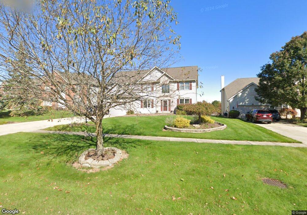
16232 Falmouth Dr Strongsville, OH 44136
Estimated Value: $436,000 - $534,000
4
Beds
3
Baths
3,012
Sq Ft
$160/Sq Ft
Est. Value
About This Home
This home is located at 16232 Falmouth Dr, Strongsville, OH 44136 and is currently estimated at $481,878, approximately $159 per square foot. 16232 Falmouth Dr is a home located in Cuyahoga County with nearby schools including Strongsville High School.
Ownership History
Date
Name
Owned For
Owner Type
Purchase Details
Closed on
Oct 3, 2024
Sold by
Tayeh Izzat Y and Tayeh Nelly I
Bought by
Izzat Tayeh And Nelly Tayeh Living Trust and Tayeh
Current Estimated Value
Purchase Details
Closed on
Jan 4, 2001
Sold by
Auxier Robert N
Bought by
Tayeh Izzat Y and Tayeh Nelly I
Home Financials for this Owner
Home Financials are based on the most recent Mortgage that was taken out on this home.
Original Mortgage
$210,000
Interest Rate
7.77%
Purchase Details
Closed on
Apr 2, 1998
Sold by
Ream Bldrs Inc
Bought by
Auxier Robert N and Auxier Debbie A
Home Financials for this Owner
Home Financials are based on the most recent Mortgage that was taken out on this home.
Original Mortgage
$235,800
Interest Rate
7.27%
Create a Home Valuation Report for This Property
The Home Valuation Report is an in-depth analysis detailing your home's value as well as a comparison with similar homes in the area
Home Values in the Area
Average Home Value in this Area
Purchase History
| Date | Buyer | Sale Price | Title Company |
|---|---|---|---|
| Izzat Tayeh And Nelly Tayeh Living Trust | -- | None Listed On Document | |
| Tayeh Izzat Y | $260,000 | Real Estate Title | |
| Auxier Robert N | $262,100 | Chicago Title Insurance Comp |
Source: Public Records
Mortgage History
| Date | Status | Borrower | Loan Amount |
|---|---|---|---|
| Previous Owner | Tayeh Izzat Y | $210,000 | |
| Previous Owner | Auxier Robert N | $235,800 |
Source: Public Records
Tax History Compared to Growth
Tax History
| Year | Tax Paid | Tax Assessment Tax Assessment Total Assessment is a certain percentage of the fair market value that is determined by local assessors to be the total taxable value of land and additions on the property. | Land | Improvement |
|---|---|---|---|---|
| 2024 | $7,345 | $156,450 | $30,800 | $125,650 |
| 2023 | $7,350 | $117,390 | $25,690 | $91,700 |
| 2022 | $7,297 | $117,390 | $25,690 | $91,700 |
| 2021 | $7,239 | $117,390 | $25,690 | $91,700 |
| 2020 | $7,439 | $106,720 | $23,350 | $83,370 |
| 2019 | $7,221 | $304,900 | $66,700 | $238,200 |
| 2018 | $6,554 | $106,720 | $23,350 | $83,370 |
| 2017 | $6,286 | $94,750 | $18,030 | $76,720 |
| 2016 | $6,234 | $94,750 | $18,030 | $76,720 |
| 2015 | $6,323 | $94,750 | $18,030 | $76,720 |
| 2014 | $6,323 | $94,750 | $18,030 | $76,720 |
Source: Public Records
Map
Nearby Homes
- 16711 Beech Cir
- 18229 Howe Rd
- 17130 Golden Star Dr
- 16486 S Red Rock Dr
- 3550 Boston Rd
- 15604-REAR Boston Rd
- 19694 Benbow Rd
- 19740 Benbow Rd
- 14985 Camden Cir
- 15188 Trails Landing
- 97 Weathervane Ln
- 18987 Laurell Cir
- 17159 Turkey Meadow Ln
- 17682 Drake Rd
- 19813 Cross Trail S
- 16650 Lanier Ave
- 17024 Bear Creek Ln
- 18411 Yorktown Oval
- 3137 Blackburn Ln
- 17934 Cambridge Oval
- 16268 Falmouth Dr
- 16198 Falmouth Dr
- 16300 Falmouth Dr
- 16164 Falmouth Dr
- 16215 Falmouth Dr
- 16324 Falmouth Dr
- 16249 Falmouth Dr
- 16181 Falmouth Dr
- 16130 Falmouth Dr
- 16147 Falmouth Dr
- 16283 Falmouth Dr
- 16346 Falmouth Dr
- 16113 Falmouth Dr
- 16317 Falmouth Dr
- 16325 Pepperwood Ct
- 16383 Pepperwood Ct
- 16096 Falmouth Dr
- 16267 Pepperwood Ct
- 16431 Pepperwood Ct
- 16079 Falmouth Dr