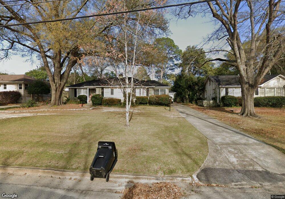
1626 Wells Dr Columbus, GA 31906
Wynnton Grove NeighborhoodEstimated Value: $251,000 - $307,000
3
Beds
3
Baths
2,165
Sq Ft
$131/Sq Ft
Est. Value
About This Home
This home is located at 1626 Wells Dr, Columbus, GA 31906 and is currently estimated at $283,571, approximately $130 per square foot. 1626 Wells Dr is a home located in Muscogee County with nearby schools including Wilkinson Elementary School, Clubview Elementary School, and Richards Middle School.
Ownership History
Date
Name
Owned For
Owner Type
Purchase Details
Closed on
Aug 9, 2019
Sold by
Ott Ray M
Bought by
Price Wanda K
Current Estimated Value
Home Financials for this Owner
Home Financials are based on the most recent Mortgage that was taken out on this home.
Original Mortgage
$190,000
Outstanding Balance
$163,216
Interest Rate
3.7%
Mortgage Type
New Conventional
Estimated Equity
$120,355
Purchase Details
Closed on
Feb 29, 2012
Sold by
Smith Bruce H
Bought by
Ott Ray M
Purchase Details
Closed on
May 15, 2008
Sold by
Barrett Kimberly R
Bought by
Smith Bruce H and Smith Carole R
Home Financials for this Owner
Home Financials are based on the most recent Mortgage that was taken out on this home.
Original Mortgage
$238,500
Interest Rate
5.86%
Mortgage Type
Purchase Money Mortgage
Create a Home Valuation Report for This Property
The Home Valuation Report is an in-depth analysis detailing your home's value as well as a comparison with similar homes in the area
Home Values in the Area
Average Home Value in this Area
Purchase History
| Date | Buyer | Sale Price | Title Company |
|---|---|---|---|
| Price Wanda K | -- | -- | |
| Ott Ray M | $206,400 | -- | |
| Smith Bruce H | $265,000 | None Available |
Source: Public Records
Mortgage History
| Date | Status | Borrower | Loan Amount |
|---|---|---|---|
| Open | Price Wanda K | $190,000 | |
| Previous Owner | Smith Bruce H | $238,500 |
Source: Public Records
Tax History Compared to Growth
Tax History
| Year | Tax Paid | Tax Assessment Tax Assessment Total Assessment is a certain percentage of the fair market value that is determined by local assessors to be the total taxable value of land and additions on the property. | Land | Improvement |
|---|---|---|---|---|
| 2025 | $352 | $101,444 | $17,404 | $84,040 |
| 2024 | $2,030 | $101,444 | $17,404 | $84,040 |
| 2023 | $1,348 | $101,444 | $17,404 | $84,040 |
| 2022 | $2,117 | $83,576 | $17,404 | $66,172 |
| 2021 | $2,277 | $73,348 | $17,404 | $55,944 |
| 2020 | $2,996 | $73,348 | $17,404 | $55,944 |
| 2019 | $3,005 | $73,348 | $17,404 | $55,944 |
| 2018 | $3,005 | $73,348 | $17,404 | $55,944 |
| 2017 | $3,015 | $73,348 | $17,404 | $55,944 |
| 2016 | $3,406 | $82,559 | $8,452 | $74,107 |
| 2015 | $3,410 | $82,559 | $8,452 | $74,107 |
| 2014 | $3,414 | $82,559 | $8,452 | $74,107 |
| 2013 | -- | $82,559 | $8,452 | $74,107 |
Source: Public Records
Map
Nearby Homes
- 1500 Preston Dr
- 1513 Wells Dr
- 2911 Gardenia St
- 2010 Wells Dr
- 2533 15th St
- 2916 Gardenia St
- 1712 Marilon Dr
- 1700 Stark Ave
- 1706 Stark Ave
- 1310 S Dixon Dr
- 1319 Hilton Ave
- 1717 Stark Ave
- 1301 Rigdon Rd
- 1809 Carter Ave
- 1164 Tate Dr
- 2726 Marion St
- 2940 Birchfield Dr
- 2604 Sue MacK Dr
- 2125 13th St Unit 12
- 2133 13th St