16295 Queen Lil Place Nevada City, CA 95959
Estimated Value: $1,115,000 - $1,189,458
4
Beds
2
Baths
3,684
Sq Ft
$313/Sq Ft
Est. Value
About This Home
This home is located at 16295 Queen Lil Place, Nevada City, CA 95959 and is currently estimated at $1,152,865, approximately $312 per square foot. 16295 Queen Lil Place is a home located in Nevada County with nearby schools including Deer Creek Elementary School, Seven Hills Intermediate School, and Forest Charter School.
Ownership History
Date
Name
Owned For
Owner Type
Purchase Details
Closed on
Apr 22, 2005
Sold by
Arbogast G William
Bought by
Conley James and Conley Alma
Current Estimated Value
Home Financials for this Owner
Home Financials are based on the most recent Mortgage that was taken out on this home.
Original Mortgage
$695,000
Outstanding Balance
$360,743
Interest Rate
5.87%
Mortgage Type
Fannie Mae Freddie Mac
Estimated Equity
$792,122
Purchase Details
Closed on
Feb 15, 2001
Sold by
Arbogast Irene V
Bought by
Arbogast G William
Create a Home Valuation Report for This Property
The Home Valuation Report is an in-depth analysis detailing your home's value as well as a comparison with similar homes in the area
Home Values in the Area
Average Home Value in this Area
Purchase History
| Date | Buyer | Sale Price | Title Company |
|---|---|---|---|
| Conley James | $869,000 | Fidelity National Title Co | |
| Arbogast G William | -- | -- |
Source: Public Records
Mortgage History
| Date | Status | Borrower | Loan Amount |
|---|---|---|---|
| Open | Conley James | $695,000 |
Source: Public Records
Tax History Compared to Growth
Tax History
| Year | Tax Paid | Tax Assessment Tax Assessment Total Assessment is a certain percentage of the fair market value that is determined by local assessors to be the total taxable value of land and additions on the property. | Land | Improvement |
|---|---|---|---|---|
| 2025 | $12,658 | $1,211,296 | $383,318 | $827,978 |
| 2024 | $12,418 | $1,187,546 | $375,802 | $811,744 |
| 2023 | $12,418 | $1,164,262 | $368,434 | $795,828 |
| 2022 | $12,164 | $1,141,434 | $361,210 | $780,224 |
| 2021 | $10,444 | $982,300 | $446,300 | $536,000 |
| 2020 | $9,186 | $854,200 | $388,100 | $466,100 |
| 2019 | $9,000 | $837,500 | $380,500 | $457,000 |
| 2018 | $9,547 | $821,000 | $373,000 | $448,000 |
| 2017 | $8,573 | $760,000 | $345,000 | $415,000 |
| 2016 | $7,325 | $691,000 | $314,000 | $377,000 |
| 2015 | $7,122 | $671,000 | $305,000 | $366,000 |
| 2014 | $6,755 | $633,000 | $288,000 | $345,000 |
Source: Public Records
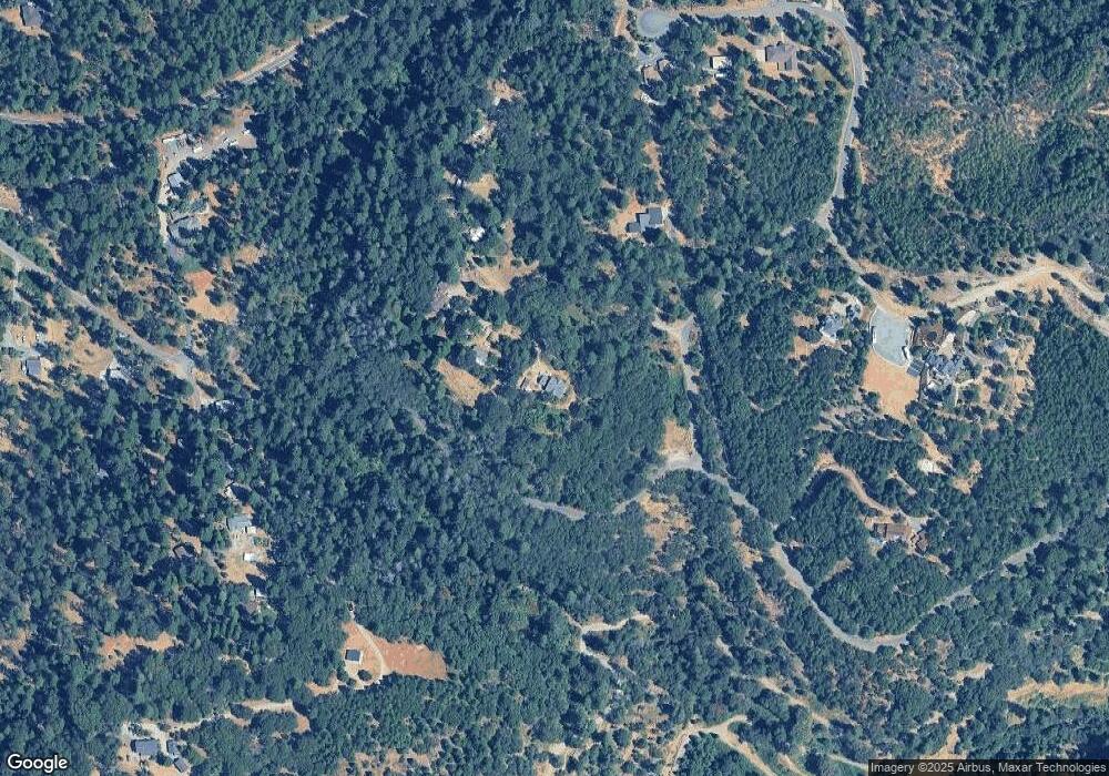
Map
Nearby Homes
- 11356 Constitution Ct
- 16970 Old Downieville Hwy
- 16934 Indian Flat Rd
- 631 Chief Kelly Dr
- 651 Chief Kelly Dr
- 661 Chief Kelly Dr
- 660 Chief Kelly Dr
- 520 Lost Hill Ct
- 140 Redbud Way
- 10265 Newtown Rd
- 11094 Cement Hill Rd
- 708 W Broad St
- 11772 Marjon Dr
- 11220 Marjon Dr
- 327 Drummond St
- 10402 Newtown Rd
- 447 Zion St
- 500 Factory St
- 11208 Ridge Rd
- 214 Mill St
- 16339 Queen Lil Place
- 16375 Queen Lil Place
- 16288 Queen Lil Place
- 16547 Old Downieville Hwy
- 16414 Queen Lil Place
- 16564 Old Downieville Hwy
- 11369 Constitution Ct
- 11369 Constitution Ct
- 11347 Constitution Ct
- 16211 American Hill Rd
- 16759 Old Downieville Hwy
- 16244 Old Downieville Hwy
- 10207 Cedro Rd
- 10182 Cedro Rd
- 11325 Constitution Ct
- 10245 Cedro Rd
- 11372 Constitution Ct
- 16154 American Hill Rd
- 16760 Old Downieville Hwy
- 10220 Cedro Rd