163 Woods Hole Rd Falmouth, MA 02540
West Falmouth NeighborhoodEstimated Value: $1,292,490
6
Beds
4
Baths
4,736
Sq Ft
$273/Sq Ft
Est. Value
About This Home
This home is located at 163 Woods Hole Rd, Falmouth, MA 02540 and is currently estimated at $1,292,490, approximately $272 per square foot. 163 Woods Hole Rd is a home located in Barnstable County with nearby schools including Mullen-Hall School, Lawrence School, and Morse Pond School.
Ownership History
Date
Name
Owned For
Owner Type
Purchase Details
Closed on
Jul 1, 2008
Sold by
Elliott Evelyn M and Elliott Victoria Lynn
Bought by
Woods Research Center
Current Estimated Value
Purchase Details
Closed on
Apr 21, 1989
Sold by
Elliott Gordon M
Bought by
Sea Education Assn Inc
Create a Home Valuation Report for This Property
The Home Valuation Report is an in-depth analysis detailing your home's value as well as a comparison with similar homes in the area
Home Values in the Area
Average Home Value in this Area
Purchase History
| Date | Buyer | Sale Price | Title Company |
|---|---|---|---|
| Woods Research Center | $575,000 | -- | |
| Sea Education Assn Inc | $1,000 | -- |
Source: Public Records
Tax History Compared to Growth
Tax History
| Year | Tax Paid | Tax Assessment Tax Assessment Total Assessment is a certain percentage of the fair market value that is determined by local assessors to be the total taxable value of land and additions on the property. | Land | Improvement |
|---|---|---|---|---|
| 2025 | -- | $1,042,000 | $427,800 | $614,200 |
| 2024 | -- | $974,400 | $391,800 | $582,600 |
| 2023 | $0 | $897,500 | $391,800 | $505,700 |
| 2022 | $0 | $773,800 | $305,200 | $468,600 |
| 2021 | $0 | $773,800 | $305,200 | $468,600 |
| 2020 | $0 | $726,400 | $277,500 | $448,900 |
| 2019 | $0 | $706,200 | $277,500 | $428,700 |
| 2018 | $0 | $706,200 | $277,500 | $428,700 |
| 2017 | $0 | $699,900 | $277,500 | $422,400 |
| 2016 | -- | $699,900 | $277,500 | $422,400 |
| 2015 | -- | $699,900 | $277,500 | $422,400 |
| 2014 | -- | $709,200 | $277,500 | $431,700 |
Source: Public Records
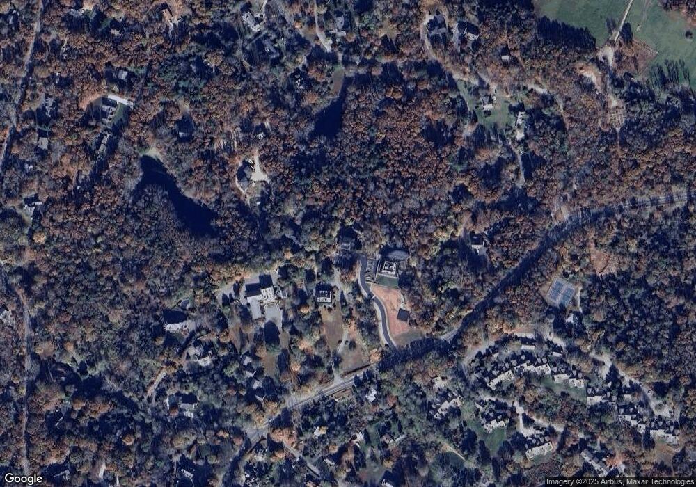
Map
Nearby Homes
- 38 Landfall Unit 38
- 38 Landfall
- 251 Woods Hole Rd
- 44 Carey Ln
- 87 Oyster Pond Rd
- 45 Haynes Ave
- 27 Upland Ave
- 15 Hedge Ln
- 71 Main St
- 98 Main St
- 98 Main St Unit 1
- 65 Walker St
- 76 F r Lillie Rd
- 30 Katherine Lee Bates Rd
- 29 Wilson Rd
- 33 Oakwood Ave
- 10 Shanks Pond Rd
- 54 Whitman Rd
- 480 Main St Unit 1
- 110 Dillingham Ave Unit 322
- 177 Shearwater Way
- 179 Woods Hole Rd
- 179 Woods Hole Rd
- 165 Woods Hole Rd
- 149 Woods Hole Rd
- 0 Shearwater Way
- 173 Woods Hole Rd
- 18 Quissett Cir
- 172 Shearwater Way
- 16 Quissett Cir
- 52 Mccallum Dr
- 3 Quissett Cir
- 46 Mccallum Dr
- 56 Mccallum Dr
- 14 Quissett Cir
- 164 Woods Hole Rd
- 74 Landfall
- 72 Landfall
- 68 Landfall
- 72 Landfall