1632 Woodsford Rd NW Kennesaw, GA 30152
Estimated Value: $319,880 - $343,000
3
Beds
3
Baths
1,450
Sq Ft
$228/Sq Ft
Est. Value
About This Home
This home is located at 1632 Woodsford Rd NW, Kennesaw, GA 30152 and is currently estimated at $330,970, approximately $228 per square foot. 1632 Woodsford Rd NW is a home located in Cobb County with nearby schools including Hayes Elementary School, Pine Mountain Middle School, and Kennesaw Mountain High School.
Ownership History
Date
Name
Owned For
Owner Type
Purchase Details
Closed on
Aug 31, 2023
Sold by
Diodati Dorothy Ruenett
Bought by
Diodati Ray L
Current Estimated Value
Purchase Details
Closed on
Oct 21, 2012
Sold by
Diodati Lori
Bought by
Diodati Dorothy
Purchase Details
Closed on
Dec 18, 2003
Sold by
Davis Avery M and Davis Colleen S
Bought by
Diodati Lori and Diodati Ray
Home Financials for this Owner
Home Financials are based on the most recent Mortgage that was taken out on this home.
Original Mortgage
$121,500
Interest Rate
5%
Mortgage Type
New Conventional
Purchase Details
Closed on
Sep 23, 1999
Sold by
Pulte Home Corp
Bought by
Davis Avery M and Davis Colleen S
Home Financials for this Owner
Home Financials are based on the most recent Mortgage that was taken out on this home.
Original Mortgage
$111,629
Interest Rate
7.89%
Mortgage Type
FHA
Create a Home Valuation Report for This Property
The Home Valuation Report is an in-depth analysis detailing your home's value as well as a comparison with similar homes in the area
Home Values in the Area
Average Home Value in this Area
Purchase History
| Date | Buyer | Sale Price | Title Company |
|---|---|---|---|
| Diodati Ray L | -- | None Listed On Document | |
| Diodati Dorothy | $135,000 | -- | |
| Diodati Lori | $135,000 | -- | |
| Davis Avery M | $112,600 | -- |
Source: Public Records
Mortgage History
| Date | Status | Borrower | Loan Amount |
|---|---|---|---|
| Previous Owner | Diodati Lori | $121,500 | |
| Previous Owner | Davis Avery M | $111,629 |
Source: Public Records
Tax History Compared to Growth
Tax History
| Year | Tax Paid | Tax Assessment Tax Assessment Total Assessment is a certain percentage of the fair market value that is determined by local assessors to be the total taxable value of land and additions on the property. | Land | Improvement |
|---|---|---|---|---|
| 2025 | $3,622 | $120,224 | $28,000 | $92,224 |
| 2024 | $3,626 | $120,264 | $28,000 | $92,264 |
| 2023 | $3,391 | $112,460 | $16,000 | $96,460 |
| 2022 | $3,294 | $108,544 | $16,000 | $92,544 |
| 2021 | $2,349 | $77,392 | $16,000 | $61,392 |
| 2020 | $2,349 | $77,392 | $16,000 | $61,392 |
| 2019 | $1,964 | $64,708 | $12,000 | $52,708 |
| 2018 | $1,964 | $64,708 | $12,000 | $52,708 |
| 2017 | $1,702 | $59,196 | $12,000 | $47,196 |
| 2016 | $1,410 | $49,052 | $12,000 | $37,052 |
| 2015 | $1,445 | $49,052 | $12,000 | $37,052 |
| 2014 | $1,372 | $46,192 | $0 | $0 |
Source: Public Records
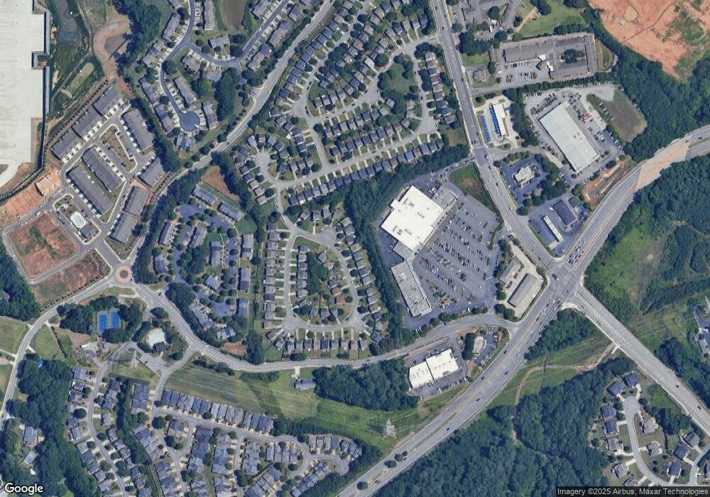
Map
Nearby Homes
- 1791 Heights Cir NW
- 1736 Stanwood Dr NW
- 1706 Pardee Dr
- 1737 Taynton Cir NW
- 1741 Stanwood Dr NW
- 1891 Stancrest Trace NW
- 1527 Anna Ruby Ln NW
- 1360 Raven Rock Trail NW
- 1676 Perserverence Hill Cir NW Unit 4
- 1511 Dolcetto Trace NW Unit 1
- 1534 Endurance Hill Dr NW Unit 9
- 1629 Marsanne Terrace NW
- 1641 Perserverence Hill Cir NW Unit 11
- 1646 Perserverence Hill Cir NW Unit 2
- 1466 Dolcetto Trace NW Unit 18
- 1376 Dolcetto Trace NW Unit 10
- 1604 Perserverence Hill Cir NW Unit 7
- 1919 Barrett Knoll Cir NW
- 1414 Dolcetto Trace NW Unit 14
- 1630 Woodsford Rd NW
- 1634 Woodsford Rd NW Unit 1634
- 1634 Woodsford Rd NW
- 1628 Woodsford Rd NW
- 1636 Woodsford Rd NW
- 1638 Woodsford Rd NW
- 1626 Woodsford Rd NW
- 1626 Woodsford Rd NW Unit GAA0290
- 1626 Woodsford Rd NW Unit Gaa029
- 1633 Woodsford Rd NW
- 1640 Woodsford Rd NW
- 1635 Woodsford Rd NW
- 1637 Woodsford Rd NW
- 1624 Woodsford Rd NW
- 1642 Woodsford Rd NW
- 1639 Woodsford Rd NW
- 1641 Woodsford Rd NW
- 1622 Woodsford Rd NW
- 1620 Woodsford Rd NW
- 1695 Woodsford Rd NW